847 Daniels Rd Pike, NH 03780
Estimated Value: $324,000 - $386,114
3
Beds
1
Bath
1,173
Sq Ft
$300/Sq Ft
Est. Value
About This Home
This home is located at 847 Daniels Rd, Pike, NH 03780 and is currently estimated at $351,705, approximately $299 per square foot. 847 Daniels Rd is a home with nearby schools including Woodsville Elementary School, Haverhill Cooperative Middle School, and Woodsville High School.
Ownership History
Date
Name
Owned For
Owner Type
Purchase Details
Closed on
Aug 31, 2009
Sold by
Blake Brent and Miller Kim L
Bought by
Miller Kim L and Miller Sean D
Current Estimated Value
Home Financials for this Owner
Home Financials are based on the most recent Mortgage that was taken out on this home.
Original Mortgage
$200,000
Outstanding Balance
$130,666
Interest Rate
5.17%
Mortgage Type
Purchase Money Mortgage
Estimated Equity
$221,039
Create a Home Valuation Report for This Property
The Home Valuation Report is an in-depth analysis detailing your home's value as well as a comparison with similar homes in the area
Home Values in the Area
Average Home Value in this Area
Purchase History
| Date | Buyer | Sale Price | Title Company |
|---|---|---|---|
| Miller Kim L | $60,000 | -- |
Source: Public Records
Mortgage History
| Date | Status | Borrower | Loan Amount |
|---|---|---|---|
| Open | Miller Kim L | $200,000 |
Source: Public Records
Tax History Compared to Growth
Tax History
| Year | Tax Paid | Tax Assessment Tax Assessment Total Assessment is a certain percentage of the fair market value that is determined by local assessors to be the total taxable value of land and additions on the property. | Land | Improvement |
|---|---|---|---|---|
| 2024 | $6,899 | $354,900 | $49,200 | $305,700 |
| 2023 | $6,209 | $214,700 | $31,100 | $183,600 |
| 2021 | $5,344 | $214,700 | $31,100 | $183,600 |
| 2020 | $5,324 | $187,400 | $27,100 | $160,300 |
| 2019 | $5,678 | $187,400 | $27,100 | $160,300 |
| 2018 | $5,866 | $187,400 | $27,100 | $160,300 |
| 2017 | $5,817 | $187,400 | $27,100 | $160,300 |
| 2016 | $5,577 | $187,400 | $27,100 | $160,300 |
| 2015 | $4,247 | $144,100 | $24,100 | $120,000 |
| 2014 | $3,961 | $144,100 | $24,100 | $120,000 |
| 2013 | $3,781 | $144,100 | $24,100 | $120,000 |
Source: Public Records
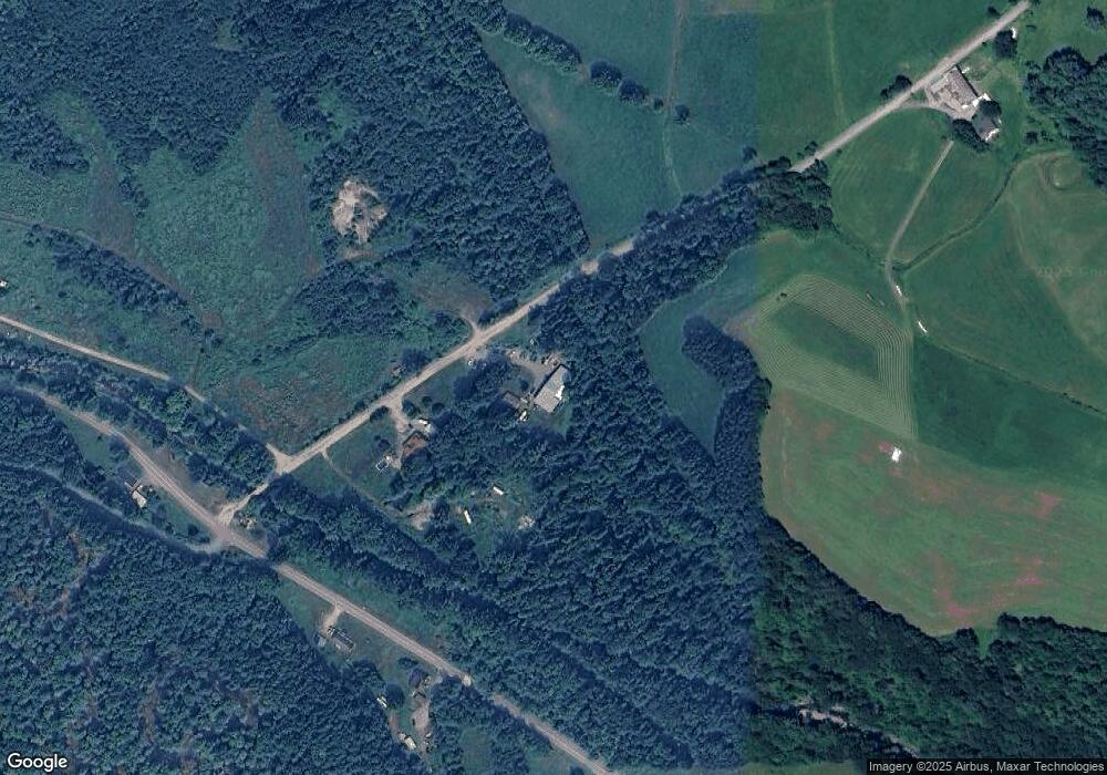
Map
Nearby Homes
- 620 Country Land Dr
- 00 Court St
- 823 Country Land Dr
- Lot 123 Paulsen Cir
- 00 Brushwood Rd
- 00 Brushwood Rd Unit 104
- 00 Brushwood Rd Unit 105
- 52 School St
- 235 Dartmouth College Hwy
- 194 Dartmouth College Hwy
- 400 Lily Pond Rd
- 510 Lily Pond Rd
- 00 Jeffers Hill Rd Unit 13
- 538 Lily Pond Rd
- 1354 Brushwood Rd
- 6680 Route 5 S
- 68 Doe Ln
- 573 Route 25c
- 1842 County Rd
- 19 Lime Kiln Rd
- 827 Daniels Rd
- 755 Mt Moosilauke Hwy
- 810 Mt Moosilauke Hwy
- 810 Mount Moosilauke Hwy
- 00 Lummoxville Rd
- 876 Mount Moosilauke Hwy
- 730 Mount Moosilauke Hwy
- 901 Mount Moosilauke Hwy
- 901 Mount Moosilauke Hwy
- 701 Daniels Rd
- 00 Mount Moosilauke Hwy
- 698 Daniels Rd
- 1839 New Hampshire 25
- 125 Hollins Rd
- 916 Mount Moosilauke Hwy
- 126 Lummoxville Rd
- 1096 Mount Moosilauke Hwy
- 1040 Mount Moosilauke Hwy
- 575 Daniels Rd
- 170 Lummoxville Rd