847 Navesink River Rd Rumson, NJ 07760
Locust NeighborhoodEstimated Value: $3,730,000 - $3,755,233
3
Beds
2
Baths
4,122
Sq Ft
$908/Sq Ft
Est. Value
About This Home
This home is located at 847 Navesink River Rd, Rumson, NJ 07760 and is currently estimated at $3,742,617, approximately $907 per square foot. 847 Navesink River Rd is a home located in Monmouth County with nearby schools including Navesink Elementary School, Bayshore Middle School, and Middletown - South High School.
Ownership History
Date
Name
Owned For
Owner Type
Purchase Details
Closed on
Dec 13, 2024
Sold by
Robinson Donald A and Smith Barbara J
Bought by
Echo Investments Llc
Current Estimated Value
Create a Home Valuation Report for This Property
The Home Valuation Report is an in-depth analysis detailing your home's value as well as a comparison with similar homes in the area
Home Values in the Area
Average Home Value in this Area
Purchase History
| Date | Buyer | Sale Price | Title Company |
|---|---|---|---|
| Echo Investments Llc | $3,500,000 | Fidelity National Title | |
| Echo Investments Llc | $3,500,000 | Fidelity National Title |
Source: Public Records
Tax History
| Year | Tax Paid | Tax Assessment Tax Assessment Total Assessment is a certain percentage of the fair market value that is determined by local assessors to be the total taxable value of land and additions on the property. | Land | Improvement |
|---|---|---|---|---|
| 2025 | $38,569 | $1,743,600 | $1,743,600 | -- |
| 2024 | $37,402 | $2,344,600 | $1,539,200 | $805,400 |
| 2023 | $37,402 | $2,152,000 | $1,480,000 | $672,000 |
| 2022 | $38,289 | $2,016,700 | $1,370,400 | $646,300 |
| 2021 | $38,289 | $1,840,800 | $1,266,000 | $574,800 |
| 2020 | $39,078 | $1,827,800 | $1,266,000 | $561,800 |
| 2019 | $38,533 | $1,824,500 | $1,266,000 | $558,500 |
| 2018 | $38,976 | $1,798,600 | $1,266,000 | $532,600 |
| 2017 | $37,444 | $1,762,900 | $1,266,000 | $496,900 |
| 2016 | $37,738 | $1,770,900 | $1,266,000 | $504,900 |
| 2015 | $46,774 | $2,189,800 | $1,688,000 | $501,800 |
| 2014 | $41,591 | $1,900,000 | $1,688,000 | $212,000 |
Source: Public Records
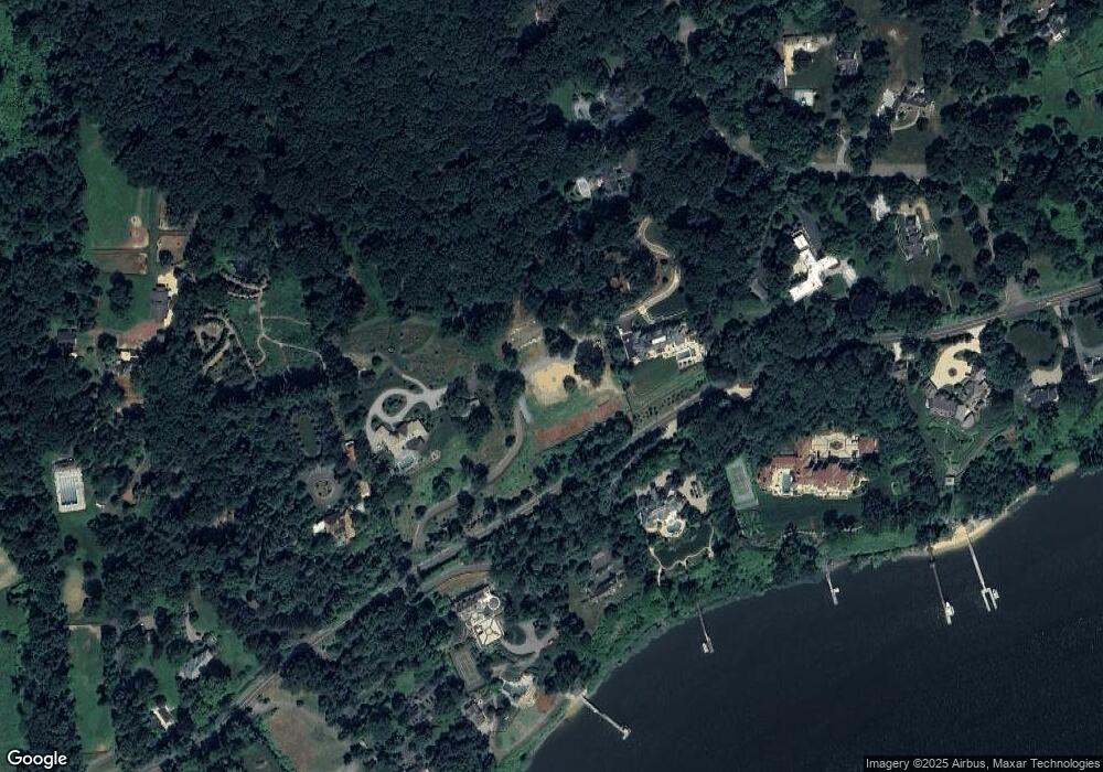
Map
Nearby Homes
- 934 Navesink River Rd
- 1 2nd St
- 734 Navesink River Rd
- 6 3rd St
- 14 Church St
- 4 Circle Dr
- 5 Oakwood Ln
- 43 Bingham Ave
- 15 Buena Vista Ave
- 96 East Ave Unit 82
- 96 East Ave Unit 76
- 96 East Ave Unit 97
- 80 Bingham Ave
- 90 Washington St
- 39 E River Rd
- 498 Central Ave
- 26 King James Ln
- 502 Central Ave
- 9 King James Ln
- 500 Central Ave
- 841 Navesink River Rd
- 841 Navesink River Rd
- 841 Navesink River Rd Unit B
- 813 Navesink River Rd
- 10 Deep Hollow Dr
- 858 Navesink River Rd
- 852 Navesink River Rd
- 8 Deep Hollow Dr
- 840 Navesink River Rd
- 919 Navesink River Rd
- 868 Navesink River Rd
- 901 Navesink River Rd
- 12 Deep Hollow Dr
- 16 Deep Hollow Dr
- 4 Deep Hollow Dr
- 828 Navesink River Rd
- 884 Navesink River Rd
- 1 Carriage Hill Ln
- 5 Deep Hollow Dr
- 15 Deep Hollow Dr
Your Personal Tour Guide
Ask me questions while you tour the home.