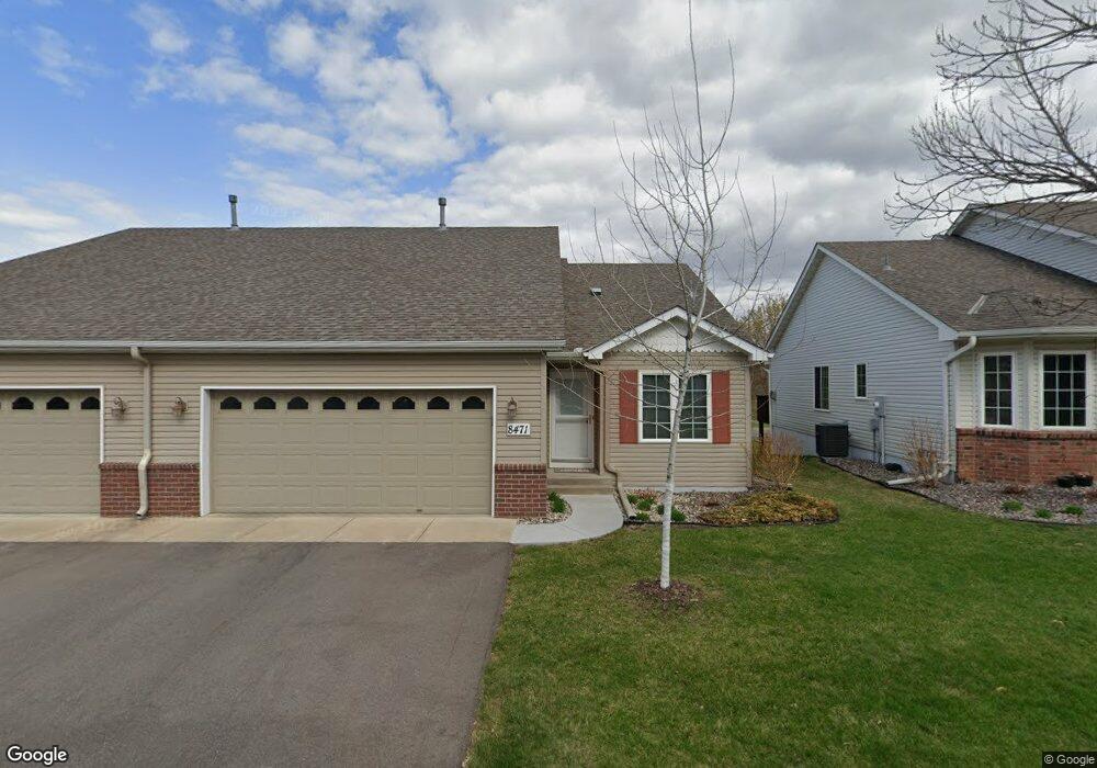
8471 Powers Place Chanhassen, MN 55317
Estimated Value: $391,481 - $409,000
3
Beds
2
Baths
1,258
Sq Ft
$315/Sq Ft
Est. Value
About This Home
This home is located at 8471 Powers Place, Chanhassen, MN 55317 and is currently estimated at $396,120, approximately $314 per square foot. 8471 Powers Place is a home located in Carver County with nearby schools including Chanhassen Elementary School, Pioneer Ridge Middle School, and Chanhassen High School.
Ownership History
Date
Name
Owned For
Owner Type
Purchase Details
Closed on
Sep 28, 2007
Sold by
Wall Douglas Allen and Wall Martha Maynard
Bought by
Rauch Scott A
Current Estimated Value
Purchase Details
Closed on
Aug 15, 2003
Sold by
Perkins David P and Perkins Karen L
Bought by
Wall Douglas Allan and Maynard Martha Isabel
Purchase Details
Closed on
Dec 10, 2001
Sold by
Jasper Development Corp Of Waconia
Bought by
Perkins David P
Purchase Details
Closed on
Jun 15, 2000
Sold by
Tsm Development Inc
Bought by
Jasper Development Corp Of Waconia
Purchase Details
Closed on
Mar 23, 1998
Sold by
Tsm Development Inc
Bought by
Shade Tree Construction Inc
Create a Home Valuation Report for This Property
The Home Valuation Report is an in-depth analysis detailing your home's value as well as a comparison with similar homes in the area
Home Values in the Area
Average Home Value in this Area
Purchase History
| Date | Buyer | Sale Price | Title Company |
|---|---|---|---|
| Rauch Scott A | -- | -- | |
| Wall Douglas Allan | $239,900 | -- | |
| Perkins David P | $234,468 | -- | |
| Jasper Development Corp Of Waconia | $71,800 | -- | |
| Shade Tree Construction Inc | $127,600 | -- |
Source: Public Records
Tax History Compared to Growth
Tax History
| Year | Tax Paid | Tax Assessment Tax Assessment Total Assessment is a certain percentage of the fair market value that is determined by local assessors to be the total taxable value of land and additions on the property. | Land | Improvement |
|---|---|---|---|---|
| 2025 | $3,654 | $376,600 | $85,000 | $291,600 |
| 2024 | $3,656 | $363,000 | $85,000 | $278,000 |
| 2023 | $3,612 | $358,500 | $85,000 | $273,500 |
| 2022 | $3,476 | $357,500 | $84,300 | $273,200 |
| 2021 | $3,330 | $300,200 | $70,200 | $230,000 |
| 2020 | $3,252 | $287,200 | $70,200 | $217,000 |
| 2019 | $3,212 | $272,500 | $66,900 | $205,600 |
| 2018 | $2,938 | $272,500 | $66,900 | $205,600 |
| 2017 | $3,094 | $245,200 | $60,900 | $184,300 |
| 2016 | $3,010 | $216,700 | $0 | $0 |
| 2015 | $2,920 | $224,600 | $0 | $0 |
| 2014 | $2,920 | $195,800 | $0 | $0 |
Source: Public Records
Map
Nearby Homes
- 8410 Burlwood Dr
- 1321 Lake Dr W Unit 216
- 8695 Flamingo Dr
- 8800 Sunset Trail
- 732 Wildflower Ln
- 763 Stonegate Rd
- 9044 Mills Dr
- 566 Mission Hills Way W
- 9085 Mills Dr
- 537 Mission Hills Dr
- 9335 Eagle Ridge Rd
- 9155 Mills Dr
- 8973 SW Village Loop
- 8933 SW Village Loop
- 7719 Nicholas Way
- 1500 Avienda Pkwy
- 1510 Avienda Pkwy
- 420 Monk Ct
- 600 Lyman Blvd
- 7639 Nicholas Way
- 8469 Powers Place
- 8479 Powers Place
- 8481 Powers Place
- 8470 Powers Place
- 8468 Powers Place
- 8489 Powers Place
- 8491 Powers Place
- 8458 Powers Place
- 8447 Powers Place
- 8488 Powers Place
- 8445 Powers Place
- 8490 Powers Place
- 8450 Powers Place
- 8448 Powers Place
- 8499 Powers Place
- 8498 Powers Place
- 8501 Powers Place
- 8440 Pelican Ct
- 8451 Pelican Ct
- 8500 Powers Place