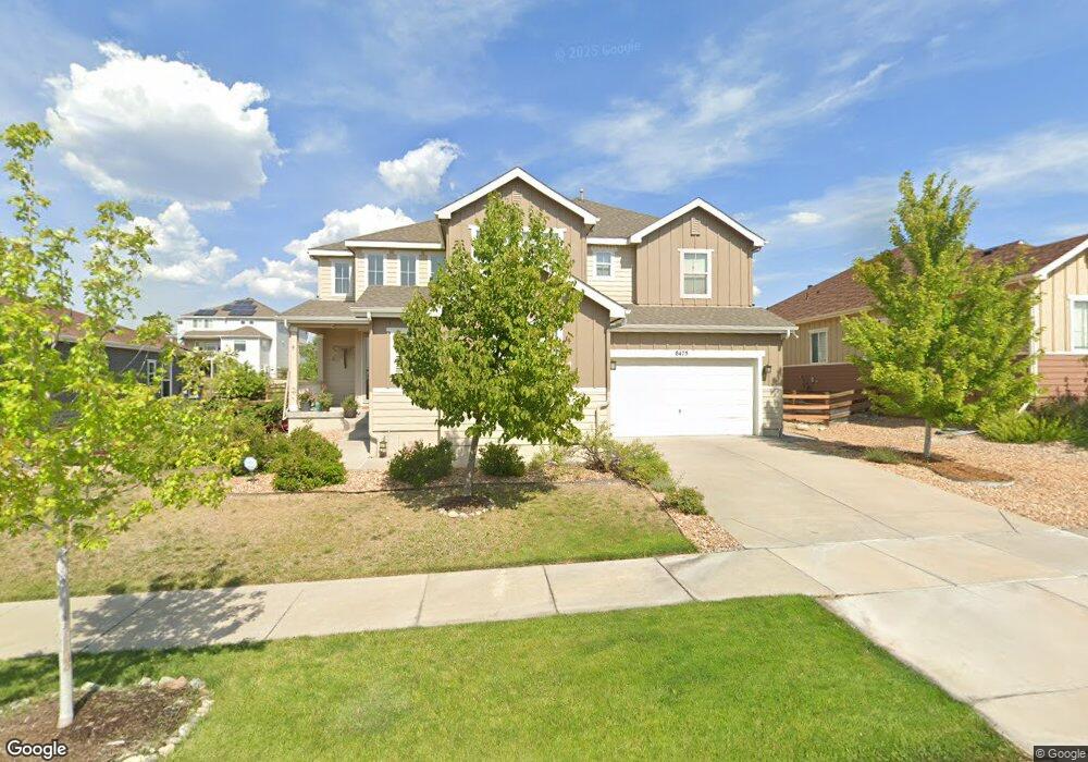
8475 Poppy St Arvada, CO 80007
Leyden Rock NeighborhoodEstimated Value: $1,018,000 - $1,221,000
5
Beds
4
Baths
4,451
Sq Ft
$249/Sq Ft
Est. Value
About This Home
This home is located at 8475 Poppy St, Arvada, CO 80007 and is currently estimated at $1,106,676, approximately $248 per square foot. 8475 Poppy St is a home located in Jefferson County with nearby schools including Meiklejohn Elementary School, Wayne Carle Middle School, and Ralston Valley Senior High School.
Ownership History
Date
Name
Owned For
Owner Type
Purchase Details
Closed on
Jun 29, 2015
Sold by
Taylor Morrison Of Colorado Inc
Bought by
Dietsch Christopher Michael and Dietsch Cara Anne
Current Estimated Value
Home Financials for this Owner
Home Financials are based on the most recent Mortgage that was taken out on this home.
Original Mortgage
$408,931
Outstanding Balance
$321,182
Interest Rate
4.07%
Mortgage Type
VA
Estimated Equity
$785,494
Create a Home Valuation Report for This Property
The Home Valuation Report is an in-depth analysis detailing your home's value as well as a comparison with similar homes in the area
Home Values in the Area
Average Home Value in this Area
Purchase History
| Date | Buyer | Sale Price | Title Company |
|---|---|---|---|
| Dietsch Christopher Michael | $553,883 | First American |
Source: Public Records
Mortgage History
| Date | Status | Borrower | Loan Amount |
|---|---|---|---|
| Open | Dietsch Christopher Michael | $408,931 |
Source: Public Records
Tax History
| Year | Tax Paid | Tax Assessment Tax Assessment Total Assessment is a certain percentage of the fair market value that is determined by local assessors to be the total taxable value of land and additions on the property. | Land | Improvement |
|---|---|---|---|---|
| 2024 | $9,249 | $63,531 | $13,237 | $50,294 |
| 2023 | $9,249 | $63,531 | $13,237 | $50,294 |
| 2022 | $6,719 | $45,230 | $8,472 | $36,758 |
| 2021 | $6,834 | $46,531 | $8,716 | $37,815 |
| 2020 | $6,547 | $44,663 | $9,343 | $35,320 |
| 2019 | $6,489 | $44,663 | $9,343 | $35,320 |
| 2018 | $6,633 | $44,919 | $12,173 | $32,746 |
| 2017 | $6,261 | $44,919 | $12,173 | $32,746 |
| 2016 | $6,040 | $43,093 | $11,651 | $31,442 |
| 2015 | $239 | $43,093 | $11,651 | $31,442 |
| 2014 | $239 | $1,636 | $1,636 | $0 |
Source: Public Records
Map
Nearby Homes
- 16339 W 84th Dr
- 16315 W 84th Ln
- 16445 W 85th Ln Unit A
- 16210 W 84th Dr
- 16530 W 86th Place Unit B
- 15818 W 83rd Ave
- 8536 Rogers Loop
- 16767 W 86th Ave
- 8169 Quaker St
- 16908 W 86th Ave
- 16948 W 86th Ave
- 16995 W 85th Ln
- 17097 W 87th Ave
- 16535 W 79th Dr
- 8345 Violet Ct
- 7787 Mcintyre Ct
- 17114 W 91st Ln
- 8661 Indiana St
- 17117 W 91st Ln
- 17122 W 91st Ln
Your Personal Tour Guide
Ask me questions while you tour the home.