848 Hayes Wilbanks Rd Toccoa, GA 30577
Estimated Value: $310,000 - $553,000
4
Beds
3
Baths
2,300
Sq Ft
$172/Sq Ft
Est. Value
About This Home
This home is located at 848 Hayes Wilbanks Rd, Toccoa, GA 30577 and is currently estimated at $396,128, approximately $172 per square foot. 848 Hayes Wilbanks Rd is a home located in Stephens County with nearby schools including Stephens County High School and Shepherds Hill Academy.
Ownership History
Date
Name
Owned For
Owner Type
Purchase Details
Closed on
Jan 1, 1997
Bought by
Coleman Charles D and Coleman Martha S
Current Estimated Value
Purchase Details
Closed on
Aug 1, 1996
Bought by
<Buyer Info Not Present>
Purchase Details
Closed on
Sep 1, 1993
Bought by
<Buyer Info Not Present>
Create a Home Valuation Report for This Property
The Home Valuation Report is an in-depth analysis detailing your home's value as well as a comparison with similar homes in the area
Home Values in the Area
Average Home Value in this Area
Purchase History
| Date | Buyer | Sale Price | Title Company |
|---|---|---|---|
| Coleman Charles D | $91,000 | -- | |
| <Buyer Info Not Present> | $95,500 | -- | |
| <Buyer Info Not Present> | -- | -- |
Source: Public Records
Tax History Compared to Growth
Tax History
| Year | Tax Paid | Tax Assessment Tax Assessment Total Assessment is a certain percentage of the fair market value that is determined by local assessors to be the total taxable value of land and additions on the property. | Land | Improvement |
|---|---|---|---|---|
| 2025 | $2,520 | $113,636 | $4,752 | $108,884 |
| 2024 | $2,212 | $74,639 | $4,752 | $69,887 |
| 2023 | $2,005 | $69,360 | $4,752 | $64,608 |
| 2022 | $1,888 | $65,413 | $4,752 | $60,661 |
| 2021 | $1,829 | $60,487 | $4,752 | $55,735 |
| 2020 | $1,850 | $60,568 | $4,752 | $55,816 |
| 2019 | $1,576 | $51,686 | $4,526 | $47,160 |
| 2018 | $1,576 | $51,686 | $4,526 | $47,160 |
| 2017 | $1,600 | $51,686 | $4,526 | $47,160 |
| 2016 | $1,576 | $51,686 | $4,526 | $47,160 |
| 2015 | $1,650 | $51,686 | $4,526 | $47,160 |
| 2014 | $1,677 | $51,686 | $4,526 | $47,160 |
| 2013 | -- | $52,817 | $5,657 | $47,160 |
Source: Public Records
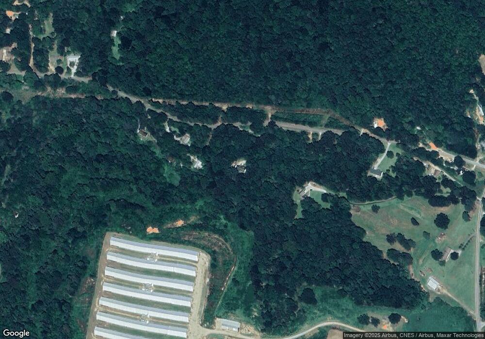
Map
Nearby Homes
- 160 Whitworth Cir
- 836 Swilling Rd
- 2230 Tower Rd
- 197 Howard Rd
- 219 Eastanollee Rd
- 0 Eastanollee Rd Unit 10440265
- 538 Oil Mill Rd Unit 8
- 1120 Combs Ave
- 3.35 ACRES Keener Rd
- 556 Oil Mill Rd Unit 7
- 574 Oil Mill Rd Unit 6
- 0 Herron Rd Unit 14382283
- 290 Indian Dr
- 18 Webb Rd
- 883 Dortch Rd
- 825 Dortch Rd
- 771 Dortch Rd
- 729 Dortch Rd
- 683 Dortch Rd
- 653 Dortch Rd
- 722 Hayes Wilbanks Rd
- 1083 S Yow Mill Rd
- 1034 Hayes Wilbanks Rd
- 1005 Hayes Wilbanks Rd
- 663 Hayes Wilbanks Rd
- 593 Hayes Wilbanks Rd
- 593 Hayes Wilbanks Rd
- 1118 Hayes Wilbanks Rd
- 1047 S Yow Mill Rd
- 547 Hayes Wilbanks Rd
- 1165 S Yow Mill Rd
- 1106 S Yow Mill Rd
- 565 Hayes Wilbanks Rd
- 1076 S Yow Mill Rd
- 1110 S Yow Mill Rd
- 1225 S Yow Mill Rd
- 1176 S Yow Mill Rd
- 465 Hayes Wilbanks Rd
- 837 S Yow Mill Rd
- 1272 S Yow Mill Rd