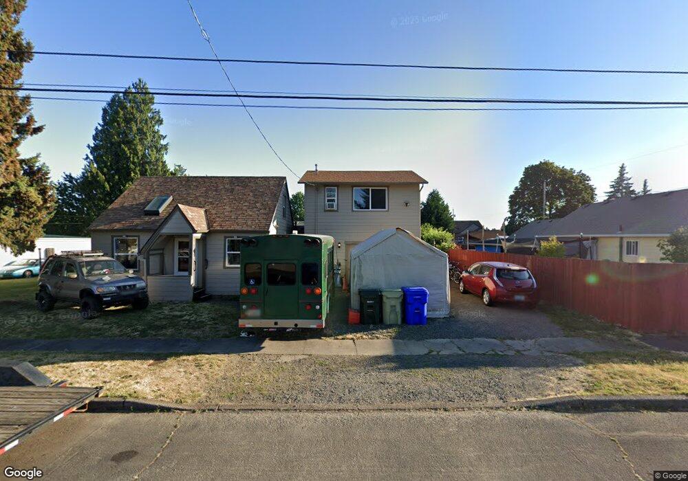
848 S Cherry St Cornelius, OR 97113
Estimated Value: $410,000 - $435,797
3
Beds
2
Baths
1,696
Sq Ft
$249/Sq Ft
Est. Value
About This Home
This home is located at 848 S Cherry St, Cornelius, OR 97113 and is currently estimated at $422,949, approximately $249 per square foot. 848 S Cherry St is a home located in Washington County with nearby schools including Echo Shaw Elementary School, Neil Armstrong Middle School, and Tom McCall Upper Elementary School.
Ownership History
Date
Name
Owned For
Owner Type
Purchase Details
Closed on
Dec 2, 2016
Sold by
Evers Zane
Bought by
Pratt Lana
Current Estimated Value
Home Financials for this Owner
Home Financials are based on the most recent Mortgage that was taken out on this home.
Original Mortgage
$200,000
Outstanding Balance
$160,642
Interest Rate
3.52%
Mortgage Type
New Conventional
Estimated Equity
$262,307
Purchase Details
Closed on
Mar 1, 2013
Sold by
Freemans Rentals Inc C
Bought by
Evers Zane
Create a Home Valuation Report for This Property
The Home Valuation Report is an in-depth analysis detailing your home's value as well as a comparison with similar homes in the area
Home Values in the Area
Average Home Value in this Area
Purchase History
| Date | Buyer | Sale Price | Title Company |
|---|---|---|---|
| Pratt Lana | $250,000 | Wfg Title | |
| Evers Zane | $85,000 | Fidelity Natl Title Co Of Or |
Source: Public Records
Mortgage History
| Date | Status | Borrower | Loan Amount |
|---|---|---|---|
| Open | Pratt Lana | $200,000 |
Source: Public Records
Tax History Compared to Growth
Tax History
| Year | Tax Paid | Tax Assessment Tax Assessment Total Assessment is a certain percentage of the fair market value that is determined by local assessors to be the total taxable value of land and additions on the property. | Land | Improvement |
|---|---|---|---|---|
| 2026 | $3,226 | $185,670 | -- | -- |
| 2025 | $3,226 | $180,270 | -- | -- |
| 2024 | $2,946 | $175,020 | -- | -- |
| 2023 | $2,946 | $169,930 | $0 | $0 |
| 2022 | $2,610 | $169,930 | $0 | $0 |
| 2021 | $2,579 | $160,190 | $0 | $0 |
| 2020 | $2,570 | $155,530 | $0 | $0 |
| 2019 | $2,514 | $151,000 | $0 | $0 |
| 2018 | $2,436 | $146,610 | $0 | $0 |
| 2017 | $2,361 | $142,340 | $0 | $0 |
| 2016 | $2,294 | $138,200 | $0 | $0 |
| 2015 | $1,991 | $123,710 | $0 | $0 |
| 2014 | $1,922 | $120,110 | $0 | $0 |
Source: Public Records
Map
Nearby Homes
- 122 S 12th Ave
- 1134 S Ginger St
- 1100 S Ivy St
- 332 S Tarrybrook Dr
- 1126 S Jasper St
- 253 S Tarrybrook Cir
- 1701 S Alpine St
- 570 N 10th St Unit 29
- 1686 N Barlow St
- 570 N 10th Ave Unit 75
- 570 N 10th Ave Unit 2
- 570 N 10th Ave Unit 6
- 570 N 10th Ave Unit 80
- 570 N 10th Ave Unit 10
- 570 N 10th Ave Unit 110
- 570 N 10th Ave Unit 30
- 1214 S 11th Place
- 302 S 19th Ave
- 1509 Centennial Cir
- 1504 Frontier Cir
- 289 S 9th Ave
- 806 S Cherry St
- 813 S Beech St
- 889 S Beech St
- 847 S Beech St
- 847 S Beech St Unit 7
- 867 S Beech St
- 829 S Cherry St
- 883 S Cherry St
- 268 S 9th Ave
- 340 S 8th Ave
- 287 S 8th Ave
- 903 S Beech St
- 911 S Cherry St
- 317 S 8th Ave
- 948 S Cherry St
- 370 S 8th Ave
- 355 S 8th Ave
- 846 S Beech St
- 215 S 8th Ave