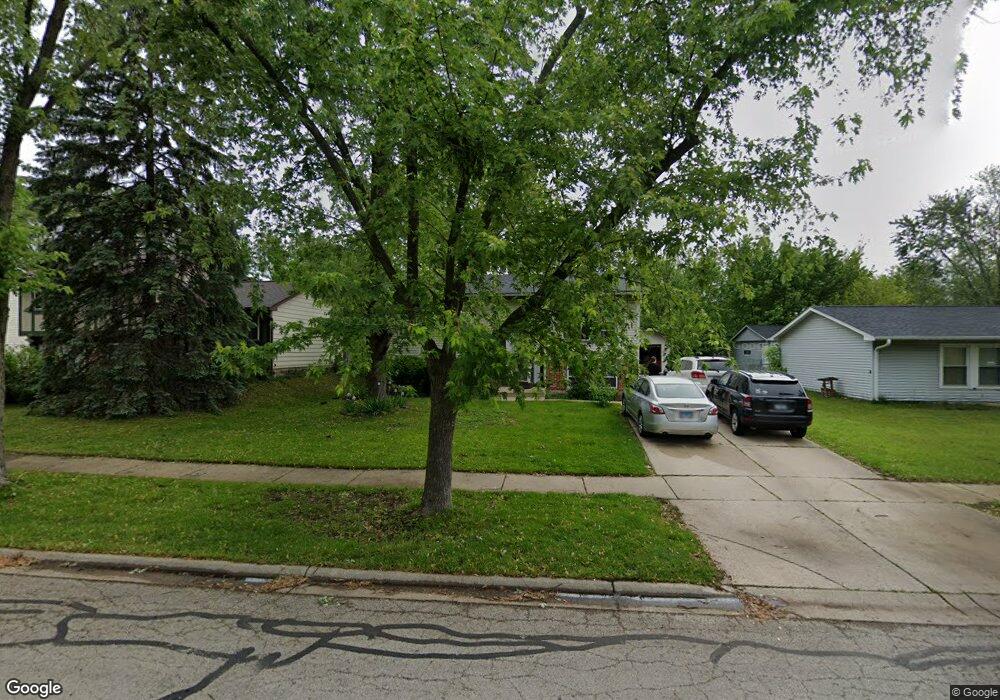
848 Summit Ln Unit 4 Bolingbrook, IL 60440
Poplar Park NeighborhoodEstimated Value: $304,000 - $350,000
4
Beds
2
Baths
1,600
Sq Ft
$202/Sq Ft
Est. Value
About This Home
This home is located at 848 Summit Ln Unit 4, Bolingbrook, IL 60440 and is currently estimated at $323,755, approximately $202 per square foot. 848 Summit Ln Unit 4 is a home located in Will County with nearby schools including Independence Elementary School, Jane Addams Middle School, and Bolingbrook High School.
Ownership History
Date
Name
Owned For
Owner Type
Purchase Details
Closed on
Jun 21, 2011
Sold by
Picard William F
Bought by
Scofield Suanne
Current Estimated Value
Purchase Details
Closed on
Oct 28, 2004
Sold by
Garcia Jose L and Garcia Lydia
Bought by
Picard William F
Home Financials for this Owner
Home Financials are based on the most recent Mortgage that was taken out on this home.
Original Mortgage
$175,750
Interest Rate
5.8%
Mortgage Type
New Conventional
Purchase Details
Closed on
May 28, 1998
Sold by
Kunkle David M and Kunkle Debra A
Bought by
Garcia Jose L and Garcia Lydia
Home Financials for this Owner
Home Financials are based on the most recent Mortgage that was taken out on this home.
Original Mortgage
$109,250
Interest Rate
7.27%
Create a Home Valuation Report for This Property
The Home Valuation Report is an in-depth analysis detailing your home's value as well as a comparison with similar homes in the area
Home Values in the Area
Average Home Value in this Area
Purchase History
| Date | Buyer | Sale Price | Title Company |
|---|---|---|---|
| Scofield Suanne | $142,000 | Heritage Title Company | |
| Picard William F | $185,000 | Attorneys Title Guaranty Fun | |
| Garcia Jose L | $115,000 | -- |
Source: Public Records
Mortgage History
| Date | Status | Borrower | Loan Amount |
|---|---|---|---|
| Previous Owner | Picard William F | $175,750 | |
| Previous Owner | Garcia Jose L | $109,250 |
Source: Public Records
Tax History
| Year | Tax Paid | Tax Assessment Tax Assessment Total Assessment is a certain percentage of the fair market value that is determined by local assessors to be the total taxable value of land and additions on the property. | Land | Improvement |
|---|---|---|---|---|
| 2024 | $7,288 | $86,911 | $17,938 | $68,973 |
| 2023 | $7,288 | $78,200 | $16,140 | $62,060 |
| 2022 | $6,239 | $69,119 | $14,266 | $54,853 |
| 2021 | $5,902 | $64,627 | $13,339 | $51,288 |
| 2020 | $5,758 | $62,502 | $12,900 | $49,602 |
| 2019 | $5,523 | $59,526 | $12,286 | $47,240 |
| 2018 | $5,121 | $55,303 | $11,415 | $43,888 |
| 2017 | $4,865 | $52,420 | $10,820 | $41,600 |
| 2016 | $4,714 | $49,900 | $10,300 | $39,600 |
| 2015 | $4,162 | $47,900 | $9,900 | $38,000 |
| 2014 | $4,162 | $43,500 | $9,000 | $34,500 |
| 2013 | $4,162 | $45,800 | $9,500 | $36,300 |
Source: Public Records
Map
Nearby Homes
- 234 Butternut Dr
- 867 Harris Dr Unit 5
- 811 Beech Dr
- 250 Butternut Dr
- 217 S Orchard Dr
- 333 Claridge Cir
- 4 Franklin Ct Unit 2
- 118 Springleaf Dr Unit 5
- 164 Galewood Dr
- 401 Foxborough Trail
- 8 Lily Ct
- 209 Bunker Hill Dr
- 1086 Lily Field Ln
- 1150 Coventry Ln
- 265 Commonwealth Dr Unit 1
- 10 Lindsey Ct W
- 209 Mill Stream Dr
- 204 Mill Stream Dr
- 631 Kingsbrooke Crossing
- 845 Barclay Dr
Your Personal Tour Guide
Ask me questions while you tour the home.