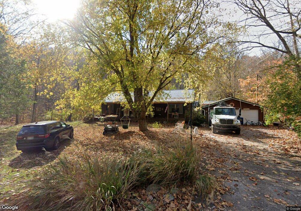
8480 Lower East Fork Rd Ripley, OH 45167
Estimated Value: $197,000 - $250,000
3
Beds
2
Baths
1,456
Sq Ft
$154/Sq Ft
Est. Value
About This Home
This home is located at 8480 Lower East Fork Rd, Ripley, OH 45167 and is currently estimated at $223,753, approximately $153 per square foot. 8480 Lower East Fork Rd is a home located in Brown County with nearby schools including Ripley Union Lewis Huntington Elementary School, Ripley Union Lewis Huntington Middle School, and Ripley-Union-Lewis-Huntington High School.
Ownership History
Date
Name
Owned For
Owner Type
Purchase Details
Closed on
Feb 9, 2010
Sold by
Bilyeu Lyle and Bilyeu Cindy
Bought by
Jodrey Robert T and Jodrey Allison C
Current Estimated Value
Purchase Details
Closed on
Mar 6, 2009
Sold by
Jodrey Robert T
Bought by
Jodrey Robert T and Jodrey Allison C
Home Financials for this Owner
Home Financials are based on the most recent Mortgage that was taken out on this home.
Original Mortgage
$83,400
Interest Rate
5.2%
Mortgage Type
New Conventional
Purchase Details
Closed on
Jun 18, 1998
Sold by
Estep Arnold E
Bought by
Jodrey Robert T
Create a Home Valuation Report for This Property
The Home Valuation Report is an in-depth analysis detailing your home's value as well as a comparison with similar homes in the area
Home Values in the Area
Average Home Value in this Area
Purchase History
| Date | Buyer | Sale Price | Title Company |
|---|---|---|---|
| Jodrey Robert T | $6,000 | None Available | |
| Jodrey Robert T | -- | American Homeland Title Agen | |
| Jodrey Robert T | $3,000 | -- |
Source: Public Records
Mortgage History
| Date | Status | Borrower | Loan Amount |
|---|---|---|---|
| Closed | Jodrey Robert T | $83,400 |
Source: Public Records
Tax History Compared to Growth
Tax History
| Year | Tax Paid | Tax Assessment Tax Assessment Total Assessment is a certain percentage of the fair market value that is determined by local assessors to be the total taxable value of land and additions on the property. | Land | Improvement |
|---|---|---|---|---|
| 2024 | $1,768 | $56,970 | $6,110 | $50,860 |
| 2023 | $1,768 | $46,600 | $4,880 | $41,720 |
| 2022 | $1,614 | $46,600 | $4,880 | $41,720 |
| 2021 | $1,599 | $46,600 | $4,880 | $41,720 |
| 2020 | $1,451 | $40,510 | $4,240 | $36,270 |
| 2019 | $1,441 | $40,510 | $4,240 | $36,270 |
| 2018 | $1,427 | $40,510 | $4,240 | $36,270 |
| 2017 | $1,332 | $37,020 | $4,670 | $32,350 |
| 2016 | $1,330 | $37,020 | $4,670 | $32,350 |
| 2015 | $1,371 | $37,020 | $4,670 | $32,350 |
| 2014 | $1,371 | $36,590 | $4,240 | $32,350 |
| 2013 | $1,275 | $36,590 | $4,240 | $32,350 |
Source: Public Records
Map
Nearby Homes
- 6.15 ac Eagle Creek Rd
- ac Eagle Creek Rd
- 0 Scoffield Rd Unit 1847641
- 8104 Stringtown Rd
- 7320 U S 52
- Lot 0294 Shawnee Dr
- Lot Stivers
- 8503 Stringtown Rd
- 1888 Stivers Rd
- 6962 Us Rt 52
- 1660 Big Three Mile Rd
- 1630 Friendship Rd
- 1755 Ridgeway Rd
- 1601 Friendship Rd
- 0 U S Route 52
- 265 Barbour Dr
- 295 Litton Cir
- 178 Bradford Ln
- 9076 St Rt 41
- 9406 State Route 41