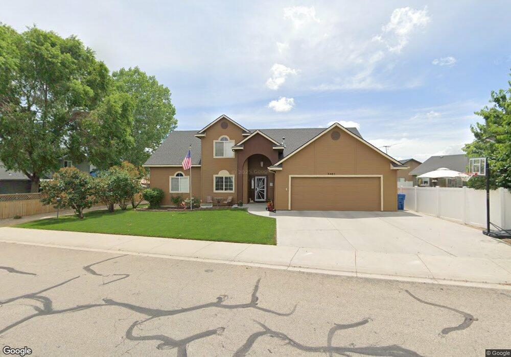
8485 W Banjo Dr Boise, ID 83709
Southwest Boise NeighborhoodEstimated Value: $513,000 - $543,000
4
Beds
4
Baths
2,232
Sq Ft
$237/Sq Ft
Est. Value
About This Home
This home is located at 8485 W Banjo Dr, Boise, ID 83709 and is currently estimated at $528,192, approximately $236 per square foot. 8485 W Banjo Dr is a home located in Ada County with nearby schools including Silver Sage Elementary School, Lake Hazel Middle School, and Mountain View High School.
Ownership History
Date
Name
Owned For
Owner Type
Purchase Details
Closed on
Oct 15, 2013
Sold by
1099 Llc
Bought by
Beast Llc
Current Estimated Value
Purchase Details
Closed on
Jun 24, 2013
Sold by
1099 Llc
Bought by
Beast Llc
Purchase Details
Closed on
May 7, 2013
Sold by
Ballard Stephen
Bought by
1099 Llc
Purchase Details
Closed on
Feb 5, 2013
Sold by
New York Irrigation District
Bought by
Ballard Stephen
Purchase Details
Closed on
Jan 8, 2013
Sold by
Edes Jonathan O and Terry Steven A
Bought by
New York Irrigation District
Create a Home Valuation Report for This Property
The Home Valuation Report is an in-depth analysis detailing your home's value as well as a comparison with similar homes in the area
Home Values in the Area
Average Home Value in this Area
Purchase History
| Date | Buyer | Sale Price | Title Company |
|---|---|---|---|
| Beast Llc | -- | Stewart Title Emerald Office | |
| Beast Llc | -- | None Available | |
| 1099 Llc | -- | Pioneer Title Company Of Ada | |
| Ballard Stephen | $151 | None Available | |
| New York Irrigation District | -- | None Available |
Source: Public Records
Tax History Compared to Growth
Tax History
| Year | Tax Paid | Tax Assessment Tax Assessment Total Assessment is a certain percentage of the fair market value that is determined by local assessors to be the total taxable value of land and additions on the property. | Land | Improvement |
|---|---|---|---|---|
| 2025 | $1,380 | $499,000 | -- | -- |
| 2024 | $1,355 | $470,100 | -- | -- |
| 2023 | $1,355 | $433,100 | $0 | $0 |
| 2022 | $1,724 | $522,300 | $0 | $0 |
| 2021 | $1,774 | $430,500 | $0 | $0 |
| 2020 | $1,627 | $316,300 | $0 | $0 |
| 2019 | $1,956 | $312,500 | $0 | $0 |
| 2018 | $1,664 | $270,500 | $0 | $0 |
| 2017 | $1,490 | $243,300 | $0 | $0 |
| 2016 | $1,357 | $219,000 | $0 | $0 |
| 2015 | $1,282 | $203,500 | $0 | $0 |
| 2012 | -- | $156,700 | $0 | $0 |
Source: Public Records
Map
Nearby Homes
- 9303 W Stirrup Dr
- 7887 W Orbit Dr
- 9339 W Sageberry Dr
- 9212 W Brogan Dr
- 9173 W Brogan Dr
- 9516 W Portola Dr
- 7316 W Ring Perch Dr
- 7585 W Blackberry Ct
- 4735 S Rawhide Ave
- 8335 W Grubstake St
- 6986 S Dewberry Ave
- 6410 S Banded Eagle Way
- 6434 S Banded Eagle Way
- 6022 S Snowshoe Ave
- 9266 W Lillywood Dr
- 7352 W Eagle Grove St
- 7351 W Eagle Grove St
- 2959 S Saturn Way
- 7280 W Crested Eagle Dr
- 7274 W Crested Eagle Dr
- 8534 W Stirrup St
- 6023 S Mandolin Place
- 6038 S Guitar Ave
- 8542 W Stirrup St
- 5902 S Guitar Way
- 6035 S Mandolin Place
- 5909 S Mandolin Place
- 6050 S Guitar Ave
- 8550 W Stirrup St
- 5894 S Guitar Way
- 6057 S Mandolin Place
- 5887 S Mandolin Place
- 5901 S Guitar Way
- 8457 W Banjo Dr
- 6062 S Guitar Ave
- 8451 W Banjo Dr
- 8568 W Stirrup St
- 8551 W Stirrup St
- 5866 S Guitar Way
- 6069 S Mandolin Place