849 21st St Otsego, MI 49078
Estimated Value: $570,000
3
Beds
1
Bath
1,564
Sq Ft
$364/Sq Ft
Est. Value
About This Home
This home is located at 849 21st St, Otsego, MI 49078 and is currently estimated at $570,000, approximately $364 per square foot. 849 21st St is a home located in Allegan County with nearby schools including Otsego High School, Otsego Christian Academy, and St. Margaret School.
Ownership History
Date
Name
Owned For
Owner Type
Purchase Details
Closed on
Oct 30, 2018
Sold by
The Bernard E Sosnowski Trust
Bought by
Southwick Edward D
Current Estimated Value
Purchase Details
Closed on
Nov 22, 2002
Sold by
Brooks Warren D and Brooks Frances E
Bought by
Wolf Fred E and Wolf Sandra L
Purchase Details
Closed on
Sep 24, 2001
Sold by
Brooks Warren D and Brooks Frances E
Bought by
Wolf Fred E and Wolf Sandra L
Purchase Details
Closed on
Jul 3, 2001
Sold by
Wason Albert A
Bought by
F W & W Land Company Llc
Create a Home Valuation Report for This Property
The Home Valuation Report is an in-depth analysis detailing your home's value as well as a comparison with similar homes in the area
Home Values in the Area
Average Home Value in this Area
Purchase History
| Date | Buyer | Sale Price | Title Company |
|---|---|---|---|
| Southwick Edward D | -- | None Available | |
| Wolf Fred E | $35,000 | -- | |
| Wolf Fred E | $35,000 | Devon Title Company | |
| F W & W Land Company Llc | -- | -- |
Source: Public Records
Tax History Compared to Growth
Tax History
| Year | Tax Paid | Tax Assessment Tax Assessment Total Assessment is a certain percentage of the fair market value that is determined by local assessors to be the total taxable value of land and additions on the property. | Land | Improvement |
|---|---|---|---|---|
| 2025 | $2,890 | $263,600 | $176,200 | $87,400 |
| 2024 | $2,438 | $213,800 | $137,700 | $76,100 |
| 2023 | $2,482 | $203,700 | $140,000 | $63,700 |
| 2022 | $2,438 | $188,300 | $129,600 | $58,700 |
| 2021 | $2,304 | $213,000 | $158,700 | $54,300 |
| 2020 | $2,274 | $213,900 | $153,000 | $60,900 |
| 2019 | $2,200 | $197,100 | $148,000 | $49,100 |
| 2018 | $2,153 | $185,000 | $138,900 | $46,100 |
| 2017 | $0 | $172,500 | $113,500 | $59,000 |
| 2016 | $0 | $151,700 | $103,200 | $48,500 |
| 2015 | -- | $151,700 | $103,200 | $48,500 |
| 2014 | $1,643 | $126,400 | $83,400 | $43,000 |
| 2013 | $1,643 | $130,300 | $80,900 | $49,400 |
Source: Public Records
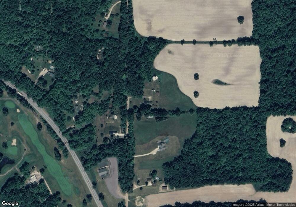
Map
Nearby Homes
- 2044 110th Ave
- 722 River Rd
- 908 Double Eagle Dr
- 902 Double Eagle Dr
- 2108 Fox Mountain Dr
- 589 Lincoln Rd
- 849 18th St
- 552 19th St
- 2435 108th Ave
- 1711 108th Ave
- 2331 105th Ave
- 743 25th St
- 602 Lincoln Rd
- 624 Nicholson St
- 828 N 16th St
- 1028 26th St
- 365 W Orleans St
- 346 W Orleans St
- 0 24th St
- 132 W River St
- 842 21st St
- 870 21st St
- 845 Lincoln Rd
- 827 21st St
- 815 21st St
- 814 21st St
- 880 21st St
- 861 Lincoln Rd
- 2091 108th Ave
- 2085 108th Ave
- 2065 108th Ave
- 2063 108th Ave
- 793 Lincoln Rd
- 2101 Petoskey Dr Unit 1
- 2103 Petoskey Dr
- 2103 Petoskey Dr Unit 2
- 2105 Petoskey Dr Unit 3
- 2107 Petoskey Dr Unit 4
- 2111 Petoskey Dr
- 2113 Petoskey Dr