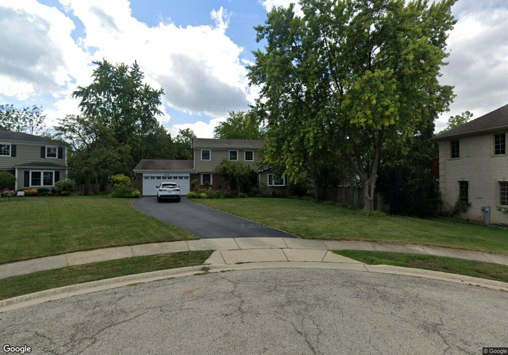
849 Brookside Ln Deerfield, IL 60015
Estimated Value: $580,000 - $654,000
4
Beds
3
Baths
1,865
Sq Ft
$332/Sq Ft
Est. Value
About This Home
This home is located at 849 Brookside Ln, Deerfield, IL 60015 and is currently estimated at $619,700, approximately $332 per square foot. 849 Brookside Ln is a home located in Lake County with nearby schools including Kipling Elementary School, Alan B Shepard Middle School, and Deerfield High School.
Ownership History
Date
Name
Owned For
Owner Type
Purchase Details
Closed on
Aug 24, 1995
Sold by
Blumenthal Mark J and Blumenthal Linda B
Bought by
Couto James R and Couto Nancy G
Current Estimated Value
Home Financials for this Owner
Home Financials are based on the most recent Mortgage that was taken out on this home.
Original Mortgage
$186,000
Interest Rate
7.55%
Create a Home Valuation Report for This Property
The Home Valuation Report is an in-depth analysis detailing your home's value as well as a comparison with similar homes in the area
Home Values in the Area
Average Home Value in this Area
Purchase History
| Date | Buyer | Sale Price | Title Company |
|---|---|---|---|
| Couto James R | $286,000 | Chicago Title Insurance Co |
Source: Public Records
Mortgage History
| Date | Status | Borrower | Loan Amount |
|---|---|---|---|
| Closed | Couto James R | $186,000 |
Source: Public Records
Tax History
| Year | Tax Paid | Tax Assessment Tax Assessment Total Assessment is a certain percentage of the fair market value that is determined by local assessors to be the total taxable value of land and additions on the property. | Land | Improvement |
|---|---|---|---|---|
| 2024 | $12,433 | $154,280 | $42,768 | $111,512 |
| 2023 | $13,622 | $148,061 | $41,044 | $107,017 |
| 2022 | $13,622 | $154,735 | $44,190 | $110,545 |
| 2021 | $12,831 | $149,185 | $42,605 | $106,580 |
| 2020 | $13,965 | $167,730 | $42,695 | $125,035 |
| 2019 | $13,650 | $167,446 | $42,623 | $124,823 |
| 2018 | $12,824 | $164,193 | $45,177 | $119,016 |
| 2017 | $12,720 | $163,669 | $45,033 | $118,636 |
| 2016 | $12,773 | $157,480 | $43,330 | $114,150 |
| 2015 | $12,505 | $147,966 | $40,712 | $107,254 |
| 2014 | $11,047 | $129,634 | $41,004 | $88,630 |
| 2012 | $10,782 | $128,490 | $40,642 | $87,848 |
Source: Public Records
Map
Nearby Homes
- 950 Brookside Ln
- 429 Elm St Unit 5J
- 421 Elm St Unit 6K
- 501 Kelburn Rd
- 954 Osterman Ave
- 525 Mallard Ln
- 826 Chestnut St
- 834 Chestnut St
- 453 Longfellow Ave
- 521 Deerfield Rd
- 757 Kipling Place
- 435 Kingston Terrace
- 1030 Chestnut St
- 333 Birchwood Ave
- 1106 Waukegan Rd
- 938 Hemlock St
- 926 Cedar St
- 1302 Hazel Ave
- 1151 Walden Ln
- 707 Brierhill Rd
Your Personal Tour Guide
Ask me questions while you tour the home.