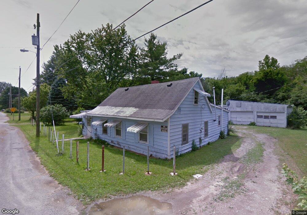
849 Factory Ave Kenton, OH 43326
Estimated Value: $94,672 - $117,000
3
Beds
1
Bath
1,020
Sq Ft
$103/Sq Ft
Est. Value
About This Home
This home is located at 849 Factory Ave, Kenton, OH 43326 and is currently estimated at $104,668, approximately $102 per square foot. 849 Factory Ave is a home located in Hardin County with nearby schools including Kenton Elementary School, Kenton Middle School, and Kenton High School.
Ownership History
Date
Name
Owned For
Owner Type
Purchase Details
Closed on
Aug 21, 2014
Sold by
Syphrit Pearl A
Bought by
Grosso Charles R and Grosso Phoebe M
Current Estimated Value
Purchase Details
Closed on
Aug 22, 2000
Bought by
Syphrit Donald
Purchase Details
Closed on
Aug 10, 2000
Bought by
Rostorfer Alice
Create a Home Valuation Report for This Property
The Home Valuation Report is an in-depth analysis detailing your home's value as well as a comparison with similar homes in the area
Home Values in the Area
Average Home Value in this Area
Purchase History
| Date | Buyer | Sale Price | Title Company |
|---|---|---|---|
| Grosso Charles R | $15,000 | None Available | |
| Syphrit Donald | $16,000 | -- | |
| Rostorfer Alice | -- | -- |
Source: Public Records
Mortgage History
| Date | Status | Borrower | Loan Amount |
|---|---|---|---|
| Closed | Grosso Charles R | $0 |
Source: Public Records
Tax History Compared to Growth
Tax History
| Year | Tax Paid | Tax Assessment Tax Assessment Total Assessment is a certain percentage of the fair market value that is determined by local assessors to be the total taxable value of land and additions on the property. | Land | Improvement |
|---|---|---|---|---|
| 2024 | $458 | $9,900 | $3,260 | $6,640 |
| 2023 | $458 | $9,900 | $3,260 | $6,640 |
| 2022 | $376 | $7,600 | $2,270 | $5,330 |
| 2021 | $377 | $7,600 | $2,270 | $5,330 |
| 2020 | $330 | $7,600 | $2,270 | $5,330 |
| 2019 | $273 | $6,390 | $2,160 | $4,230 |
| 2018 | $273 | $6,390 | $2,160 | $4,230 |
| 2017 | $270 | $6,390 | $2,160 | $4,230 |
| 2016 | $449 | $11,550 | $2,380 | $9,170 |
| 2015 | $428 | $11,550 | $2,380 | $9,170 |
| 2014 | $707 | $11,550 | $2,380 | $9,170 |
| 2013 | $504 | $12,530 | $2,380 | $10,150 |
Source: Public Records
Map
Nearby Homes
- 726 Tracy St
- 702 W Franklin St Unit 702 1/2
- 723 W Lima St Unit 66
- 723 W Lima St Unit 1
- 0 Ohio 309
- 424 W Carrol St
- 609 W North St
- 727 S Detroit St
- 639 S Main St
- 1255 W North St Unit Lot 47
- 219 W Carrol St
- 368 N Ida St
- 310 N Market St
- 320 Letson Ave
- 215 N Main St
- 416 Center St
- 233 N Main St
- 121 S High St
- 328 N Detroit St
- 508 Decatur St
- 853 Factory Ave
- 857 Factory Ave
- 807 Robinson Ave
- 875 Factory Ave
- 803 Robinson Ave
- 817 Robinson Ave
- 727 Robinson Ave
- 808 Robinson Ave
- 824 Robinson Ave
- 717 Robinson Ave
- 828 Robinson Ave
- 713 Robinson Ave
- 718 Robinson Ave
- 718 Robinson Ave
- 716 Robinson Ave
- 707 Robinson Ave
- 714 Robinson Ave
- 913 Robinson Ave
- 701 Robinson Ave
- 702 Robinson Ave