849 Nilson Rd Bellefonte, PA 16823
Estimated Value: $465,000 - $623,000
3
Beds
3
Baths
2,122
Sq Ft
$262/Sq Ft
Est. Value
About This Home
This home is located at 849 Nilson Rd, Bellefonte, PA 16823 and is currently estimated at $556,902, approximately $262 per square foot. 849 Nilson Rd is a home located in Centre County with nearby schools including Bellefonte Area High School.
Ownership History
Date
Name
Owned For
Owner Type
Purchase Details
Closed on
Nov 13, 2009
Sold by
Igoe Robert S and Igoe Christine A
Bought by
Igoe Robert S and Igoe Christine A
Current Estimated Value
Home Financials for this Owner
Home Financials are based on the most recent Mortgage that was taken out on this home.
Original Mortgage
$352,000
Outstanding Balance
$228,191
Interest Rate
4.86%
Mortgage Type
New Conventional
Estimated Equity
$328,711
Purchase Details
Closed on
May 2, 2006
Sold by
Mattern Ronald D and Mattern Allen Rex
Bought by
Igoe Robert S and Johnston Christine A
Create a Home Valuation Report for This Property
The Home Valuation Report is an in-depth analysis detailing your home's value as well as a comparison with similar homes in the area
Home Values in the Area
Average Home Value in this Area
Purchase History
| Date | Buyer | Sale Price | Title Company |
|---|---|---|---|
| Igoe Robert S | -- | None Available | |
| Igoe Robert S | $150,000 | None Available |
Source: Public Records
Mortgage History
| Date | Status | Borrower | Loan Amount |
|---|---|---|---|
| Open | Igoe Robert S | $352,000 |
Source: Public Records
Tax History Compared to Growth
Tax History
| Year | Tax Paid | Tax Assessment Tax Assessment Total Assessment is a certain percentage of the fair market value that is determined by local assessors to be the total taxable value of land and additions on the property. | Land | Improvement |
|---|---|---|---|---|
| 2025 | $5,667 | $116,010 | $46,685 | $69,325 |
| 2024 | $7,034 | $116,010 | $46,685 | $69,325 |
| 2023 | $7,034 | $116,010 | $46,685 | $69,325 |
| 2022 | $5,319 | $116,010 | $46,685 | $69,325 |
| 2021 | $5,298 | $116,010 | $46,685 | $69,325 |
| 2020 | $5,298 | $116,010 | $46,685 | $69,325 |
| 2019 | $5,111 | $116,010 | $46,685 | $69,325 |
| 2018 | $5,187 | $116,010 | $46,685 | $69,325 |
| 2017 | $6,691 | $116,010 | $46,685 | $69,325 |
| 2016 | -- | $89,195 | $19,870 | $69,325 |
| 2015 | -- | $89,195 | $19,870 | $69,325 |
| 2014 | -- | $89,195 | $19,870 | $69,325 |
Source: Public Records
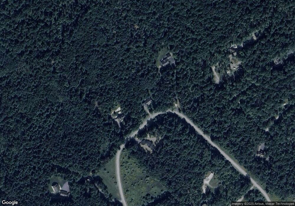
Map
Nearby Homes
- 0 Hunter Ridge Rd
- 0 Hunter Ridge Road Lot Unit WP001
- 855 Forest Ave
- 1249 Blue Spruce Dr
- 118 Franklin St
- Lot - L93 Hancock Rd
- 150 Landon Dr
- 128 Marie Ln
- 240 Lorinda Ln
- 125 Josie Dr
- Lot 146 Landon Dr
- Lot 149 Landon Dr
- Lot 124 Landon Dr
- Lot 145 Landon Dr
- Lot 143 Landon Dr
- Newport Plan at Brookshire Estates
- Bayberry Plan at Brookshire Estates
- Wyndham Plan at Brookshire Estates
- Coleford Plan at Brookshire Estates
- Montgomery Plan at Brookshire Estates
- 863 Nilson Rd
- 410 Hunter Ridge Rd
- 129 Turkey Hill Rd
- 380 Hunter Ridge Rd
- 949 Nilson Rd
- 739 Nilson Rd
- 360 Hunter Ridge Rd
- 990 Nilson Rd
- Lot Off Hunter Ridge Rd
- ON Hunter Ridge Rd
- 632 Nilson Rd
- 629 Nilson Rd
- 310 Hunter Ridge Rd
- 620 Nilson Rd
- 683 Nilson Rd
- 201 Sandstone Dr
- 110 Grandview Dr
- 220 Turkey Hill Rd
- 991 Nilson Rd
- 1081 Nilson Rd