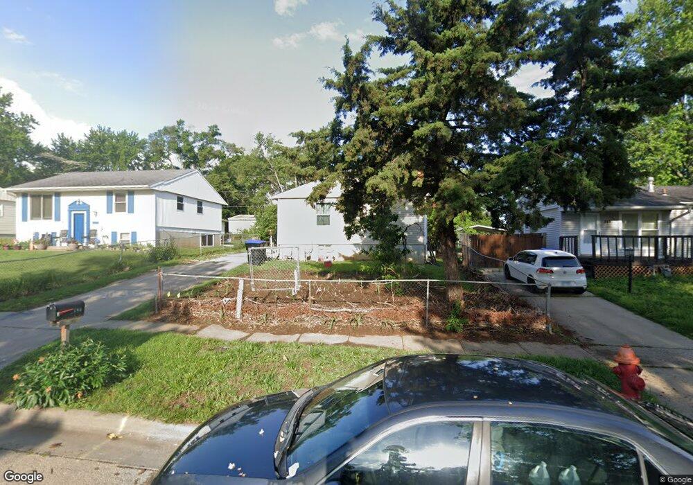
849 SE Brookside Dr Topeka, KS 66607
East End NeighborhoodEstimated Value: $92,000 - $116,000
3
Beds
1
Bath
945
Sq Ft
$106/Sq Ft
Est. Value
About This Home
This home is located at 849 SE Brookside Dr, Topeka, KS 66607 and is currently estimated at $99,867, approximately $105 per square foot. 849 SE Brookside Dr is a home located in Shawnee County with nearby schools including Tecumseh North Elementary School, Shawnee Heights Middle School, and Shawnee Heights High School.
Ownership History
Date
Name
Owned For
Owner Type
Purchase Details
Closed on
May 26, 2006
Sold by
Henry Erael A and Henry Diane L
Bought by
Vazquez Epitacio and Vazquez Sotera R
Current Estimated Value
Home Financials for this Owner
Home Financials are based on the most recent Mortgage that was taken out on this home.
Original Mortgage
$56,611
Outstanding Balance
$33,152
Interest Rate
6.5%
Mortgage Type
FHA
Estimated Equity
$66,715
Purchase Details
Closed on
Dec 3, 2005
Sold by
Henry Ernel A and Henry Diane L
Bought by
Henry Ernel A and Henry Diane L
Create a Home Valuation Report for This Property
The Home Valuation Report is an in-depth analysis detailing your home's value as well as a comparison with similar homes in the area
Home Values in the Area
Average Home Value in this Area
Purchase History
| Date | Buyer | Sale Price | Title Company |
|---|---|---|---|
| Vazquez Epitacio | -- | Capital Title Insurance Comp | |
| Henry Ernel A | -- | None Available |
Source: Public Records
Mortgage History
| Date | Status | Borrower | Loan Amount |
|---|---|---|---|
| Open | Vazquez Epitacio | $56,611 |
Source: Public Records
Tax History Compared to Growth
Tax History
| Year | Tax Paid | Tax Assessment Tax Assessment Total Assessment is a certain percentage of the fair market value that is determined by local assessors to be the total taxable value of land and additions on the property. | Land | Improvement |
|---|---|---|---|---|
| 2025 | $1,342 | $10,099 | -- | -- |
| 2023 | $1,342 | $9,160 | $0 | $0 |
| 2022 | $1,192 | $8,036 | $0 | $0 |
| 2021 | $1,096 | $6,988 | $0 | $0 |
| 2020 | $1,042 | $6,784 | $0 | $0 |
| 2019 | $1,017 | $6,587 | $0 | $0 |
| 2018 | $983 | $6,458 | $0 | $0 |
| 2017 | $994 | $6,458 | $0 | $0 |
| 2014 | $989 | $6,458 | $0 | $0 |
Source: Public Records
Map
Nearby Homes
- 505 SE Fairfax St
- 337 SE Norwood St
- 247 SE Croco Rd
- 816 SE Wear Ave
- 2405 SE Saturn Dr
- 3515 SE 25th St
- 3313 SE Virgo Ave
- 0 SE Shiloh Ridge Ln Unit 8 lots in Shiloh Rid
- 0 SE Shiloh Ridge Ln Unit SUN242110
- 3400 SE Howard Dr
- 2510 SE Alexander Dr
- 4128 SE Corinth Ct
- 4038 SE Howard Dr
- 2731 SE Peck Rd
- 430 NE Wabash Ave
- 2233 SE Swygart St
- 509 SE Lafayette St
- 1911 SE Iowa Ave
- XXXX SE 29th St
- 702 NE Winfield Ave
- 845 SE Brookside Dr
- 853 SE Brookside Dr
- 841 SE Brookside Dr
- 857 SE Brookside Dr
- 848 SE Rice Rd
- 844 SE Rice Rd
- 852 SE Rice Rd
- 840 SE Rice Rd
- 837 SE Brookside Dr
- 856 SE Rice Rd
- 861 SE Brookside Dr
- 848 SE Brookside Dr
- 844 SE Brookside Dr
- 852 SE Brookside Dr
- 836 SE Rice Rd
- 860 SE Rice Rd
- 840 SE Brookside Dr
- 856 SE Brookside Dr
- 833 SE Brookside Dr
- 865 SE Brookside Dr