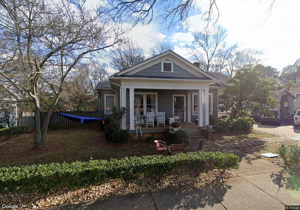
849 W Hancock Ave Athens, GA 30601
Cobbham NeighborhoodEstimated Value: $1,213,647 - $1,343,000
5
Beds
4
Baths
4,870
Sq Ft
$265/Sq Ft
Est. Value
About This Home
This home is located at 849 W Hancock Ave, Athens, GA 30601 and is currently estimated at $1,288,912, approximately $264 per square foot. 849 W Hancock Ave is a home located in Clarke County with nearby schools including Johnnie Lay Burks Elementary School, Clarke Middle School, and Clarke Central High School.
Ownership History
Date
Name
Owned For
Owner Type
Purchase Details
Closed on
Oct 18, 2018
Sold by
Swope Mike C
Bought by
Five Points Property Holdings Llc
Current Estimated Value
Purchase Details
Closed on
Jul 3, 2013
Sold by
Conway Michael
Bought by
Swope Mike
Home Financials for this Owner
Home Financials are based on the most recent Mortgage that was taken out on this home.
Original Mortgage
$300,000
Interest Rate
3.91%
Mortgage Type
New Conventional
Purchase Details
Closed on
Jan 23, 2004
Sold by
Conway Michael J & C C Develop
Bought by
Conway Michael
Purchase Details
Closed on
Jan 28, 2003
Sold by
Quick Regina M
Bought by
Conway Michael J & C C Development Co
Purchase Details
Closed on
Jan 10, 1997
Sold by
Conway Michael J
Bought by
Quick Regina M
Create a Home Valuation Report for This Property
The Home Valuation Report is an in-depth analysis detailing your home's value as well as a comparison with similar homes in the area
Home Values in the Area
Average Home Value in this Area
Purchase History
| Date | Buyer | Sale Price | Title Company |
|---|---|---|---|
| Five Points Property Holdings Llc | -- | -- | |
| Swope Mike | $400,000 | -- | |
| Conway Michael | -- | -- | |
| Conway Michael J & C C Development Co | $157,500 | -- | |
| Quick Regina M | $110,000 | -- |
Source: Public Records
Mortgage History
| Date | Status | Borrower | Loan Amount |
|---|---|---|---|
| Previous Owner | Swope Mike | $300,000 |
Source: Public Records
Tax History Compared to Growth
Tax History
| Year | Tax Paid | Tax Assessment Tax Assessment Total Assessment is a certain percentage of the fair market value that is determined by local assessors to be the total taxable value of land and additions on the property. | Land | Improvement |
|---|---|---|---|---|
| 2025 | $13,700 | $441,228 | $60,750 | $380,478 |
| 2024 | $13,700 | $409,036 | $60,750 | $348,286 |
| 2023 | $12,782 | $309,511 | $60,750 | $248,761 |
| 2022 | $6,540 | $205,002 | $51,750 | $153,252 |
| 2021 | $6,085 | $180,575 | $51,750 | $128,825 |
| 2020 | $5,651 | $167,693 | $51,750 | $115,943 |
| 2019 | $5,693 | $167,693 | $51,750 | $115,943 |
| 2018 | $5,693 | $167,693 | $51,750 | $115,943 |
| 2017 | $5,693 | $167,693 | $51,750 | $115,943 |
| 2016 | $5,693 | $167,692 | $51,750 | $115,942 |
| 2015 | $5,514 | $162,171 | $51,750 | $110,421 |
| 2014 | $5,379 | $157,978 | $51,750 | $106,228 |
Source: Public Records
Map
Nearby Homes
- 468 N Milledge Ave Unit 203
- 257 Hill St
- 500 Dearing St Unit 6
- 1196 W Hancock Ave Unit 1
- 1198 W West Hancock Ave W
- 570 Prince Ave
- 480 N Billups St
- 597 Dearing St
- 1226 W Broad St
- 365 S Church St Unit 1A, 1B, 1C
- 552 Cobb St
- 100 Prince Ave Unit A404
- 100 Prince Ave Unit A407
- 559 Pulaski St
- 269 N Hull St Unit 212
- 250 W Broad St Unit 811
- 250 W Broad St Unit 521
- 250 W Broad St Unit 408
- 250 W Broad St Unit 615
- 494 Baxter St Unit 32
- 845 W Hancock Ave
- 290 N Milledge Ave
- 320 N Milledge Ave
- N N Milledge Ave
- 825 W Hancock Ave
- 285 N Harris St
- 295 N Harris St
- 250 N Milledge Ave
- 660 Reese St
- 650 Reese St
- 220 N Milledge Ave
- 325 N Milledge Ave
- 0 Reese St
- 639 Reese St
- 0 W Hancock Ave Unit 7528725
- W W Hancock Ave
- 569 Reese St
- 350 N Harris St
- 559 Reese St
- 920 W Hancock Ave