8490 E Bullard Ave Clovis, CA 93619
Estimated Value: $1,231,480
4
Beds
3
Baths
851,598
Sq Ft
$1/Sq Ft
Est. Value
About This Home
This home is located at 8490 E Bullard Ave, Clovis, CA 93619 and is currently estimated at $1,231,480, approximately $1 per square foot. 8490 E Bullard Ave is a home located in Fresno County with nearby schools including Cedarwood Elementary School, Clark Intermediate School, and Clovis High School.
Ownership History
Date
Name
Owned For
Owner Type
Purchase Details
Closed on
May 16, 2023
Sold by
Della Wathen 2005 Irrevocable Trust and Cox Shelley
Bought by
Aldar Mini Storage Lp
Current Estimated Value
Purchase Details
Closed on
Oct 20, 1999
Sold by
Transamerica Minerals Company
Bought by
Tanner Alonzo J and Tanner Stephen Diane
Purchase Details
Closed on
Jun 9, 1999
Sold by
Tanner Alonzo J and Tanner Stephen Diane
Bought by
Wathen Spalding G and Wathen Della
Purchase Details
Closed on
Dec 9, 1997
Sold by
Thaying Vang Bobby
Bought by
Doolittle Leslie A and Dollittle Emma Louise
Purchase Details
Closed on
Jul 17, 1995
Sold by
Stephen Tanner Diane
Bought by
Tanner Alonzo J and Stephen Tanner Diane
Purchase Details
Closed on
Dec 20, 1993
Sold by
Stephen Laura Ann
Bought by
Stephen Ronald R
Create a Home Valuation Report for This Property
The Home Valuation Report is an in-depth analysis detailing your home's value as well as a comparison with similar homes in the area
Purchase History
| Date | Buyer | Sale Price | Title Company |
|---|---|---|---|
| Aldar Mini Storage Lp | $1,161,500 | Erecording Partners Network | |
| Tanner Alonzo J | -- | Stewart Title | |
| Wathen Spalding G | $425,000 | Stewart Title | |
| Doolittle Leslie A | $250,000 | Commonwealth Land Title Ins | |
| Tanner Alonzo J | -- | Stewart Title | |
| Stephen Ronald R | -- | Chicago Title Company |
Source: Public Records
Tax History
| Year | Tax Paid | Tax Assessment Tax Assessment Total Assessment is a certain percentage of the fair market value that is determined by local assessors to be the total taxable value of land and additions on the property. | Land | Improvement |
|---|---|---|---|---|
| 2025 | $15,737 | $1,208,008 | $1,208,008 | -- |
| 2023 | $6,083 | $627,829 | $443,178 | $184,651 |
| 2022 | $8,156 | $615,520 | $434,489 | $181,031 |
| 2021 | $7,951 | $603,452 | $425,970 | $177,482 |
| 2020 | $7,924 | $597,266 | $421,603 | $175,663 |
| 2019 | $7,786 | $585,556 | $413,337 | $172,219 |
| 2018 | $7,593 | $574,076 | $405,233 | $168,843 |
| 2017 | $7,477 | $562,821 | $397,288 | $165,533 |
| 2016 | $7,250 | $551,787 | $389,499 | $162,288 |
| 2015 | $7,151 | $543,500 | $383,649 | $159,851 |
| 2014 | $7,034 | $532,854 | $376,134 | $156,720 |
Source: Public Records
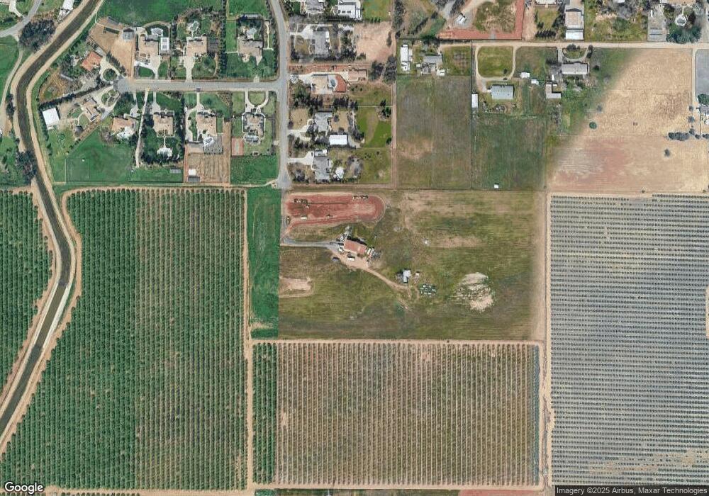
Map
Nearby Homes
- 637 Soledad Ave
- 0 E Herndon Ave Unit WS25111634
- 3833 Hannah Ln
- 1006 La Canada Ave
- 1040 San Marino Ave
- 986 Encino Ave
- 1043 La Jolla Ave
- 1100 Corazon Ave
- 9321 E Bullard Ave
- 1009 El Molino Ave
- 3919 Portals Ave
- 3537 Lincoln Ave
- 3255 Roberts Ave
- 3497 Lincoln Ave
- 3752 Magnificent Way
- 603 Kaweah Ave
- 3267 Portals Ave
- 3479 Brimhall Ln
- 3549 Taylor Ln
- 1528 Lambourn Way
- 6506 N Leonard Ave
- 6542 N Leonard Ave
- 8465 E Paul Ave
- 6574 N Leonard Ave
- 6578 N Leonard Ave
- 8435 E Paul Ave
- 6599 N Highland Ave
- 6608 N Leonard Ave
- 6597 N Highland Ave
- 8395 E Paul Ave
- 8468 E Paul Ave
- 6640 N Leonard Ave
- 8383 E Paul Ave
- 8426 E Paul Ave
- 6583 N Highland Ave
- 6676 N Leonard Ave
- 8384 E Paul Ave
- 8375 E Paul Ave
- 6633 N Langley Ave
- 6675 N Leonard Ave
Your Personal Tour Guide
Ask me questions while you tour the home.