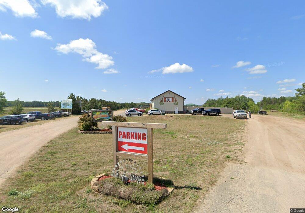
8493 State Highway 371 Brainerd, MN 56401
Estimated Value: $865,964
--
Bed
--
Bath
4,032
Sq Ft
$215/Sq Ft
Est. Value
About This Home
This home is located at 8493 State Highway 371, Brainerd, MN 56401 and is currently estimated at $865,964, approximately $214 per square foot. 8493 State Highway 371 is a home located in Crow Wing County with nearby schools including Riverside Elementary School, Forestview Middle School, and Brainerd Senior High School.
Ownership History
Date
Name
Owned For
Owner Type
Purchase Details
Closed on
Jan 21, 2025
Sold by
Vogel Kevin F and Vogel Kelly J
Bought by
Kevin F Vogel And Kelly J Vogel Family Trust and Vogel
Current Estimated Value
Purchase Details
Closed on
Apr 1, 2013
Sold by
Johnson Craig
Bought by
Safari North Llc
Purchase Details
Closed on
Apr 1, 2004
Bought by
Johnson Craig
Purchase Details
Closed on
Aug 1, 2001
Sold by
Lindstrom Allyn A
Bought by
Johnson Craig S
Create a Home Valuation Report for This Property
The Home Valuation Report is an in-depth analysis detailing your home's value as well as a comparison with similar homes in the area
Home Values in the Area
Average Home Value in this Area
Purchase History
| Date | Buyer | Sale Price | Title Company |
|---|---|---|---|
| Kevin F Vogel And Kelly J Vogel Family Trust | $500 | None Listed On Document | |
| Safari North Llc | $399,900 | -- | |
| Johnson Craig | $100,000 | -- | |
| Johnson Craig S | $100,000 | -- |
Source: Public Records
Tax History Compared to Growth
Tax History
| Year | Tax Paid | Tax Assessment Tax Assessment Total Assessment is a certain percentage of the fair market value that is determined by local assessors to be the total taxable value of land and additions on the property. | Land | Improvement |
|---|---|---|---|---|
| 2025 | $18,703 | $1,113,500 | $347,000 | $766,500 |
| 2024 | $17,984 | $1,023,200 | $274,700 | $748,500 |
| 2023 | $11,544 | $675,900 | $222,200 | $453,700 |
| 2022 | $8,408 | $456,900 | $198,800 | $258,100 |
| 2021 | $8,584 | $396,900 | $190,700 | $206,200 |
| 2020 | $8,642 | $390,000 | $192,800 | $197,200 |
| 2019 | $8,446 | $378,400 | $188,600 | $189,800 |
| 2018 | $8,170 | $360,600 | $172,000 | $188,600 |
| 2017 | $8,998 | $356,100 | $172,100 | $184,000 |
| 2016 | $8,088 | $334,700 | $164,500 | $170,200 |
| 2015 | $5,790 | $241,500 | $93,900 | $147,600 |
| 2014 | $2,905 | $245,200 | $97,600 | $147,600 |
Source: Public Records
Map
Nearby Homes
- TBD State Highway 371
- 8624- 50th Ave SW
- 5688 Erin Rd
- 6440 Estate Dr
- TBD Timber Ridge Dr
- 6207 Brandon Way
- 6724 Wels Ave
- 13946 Hardy Lake Rd SW
- Tract B Richfield Rd
- Tract C Richfield Rd
- Tract A Richfield Rd
- 13869 Hardy Lake Rd SW
- 6876 Wels Ave
- 7066 Wels Ave
- 6563 Parkview Cir
- TBD 4.38 Acres 13th Ave SW
- TBD Forestview Dr
- TBD Parkview Cir
- 6518 Parkview Cir
- 6005 Oakdale Rd
- 50th 50th Ave
- 8624 50th Ave
- 0 Lot 3 50th-Avenue- Unit 4370838
- 0 Lot 2 50th-Avenue- Unit 4370831
- 0 Lot 1 50th-Avenue- Unit 4370829
- 0 Lot 6 50th Ave Unit 3506863
- 0 Lot 5 50th Ave Unit 3506858
- 0 Lot 4 50th Ave Unit 3506852
- 8341 50th Ave
- 8341 50th Ave
- 8386 50th Ave
- 8332 50th Ave
- 8577 State Highway 371
- 8296 50th Ave
- 8600 State Highway 371
- 8262 State Highway 371
- 4995 Porcupine Path
- 4995 Porcupine Path
- 8633 State Highway 371
- 8653 State Highway 371