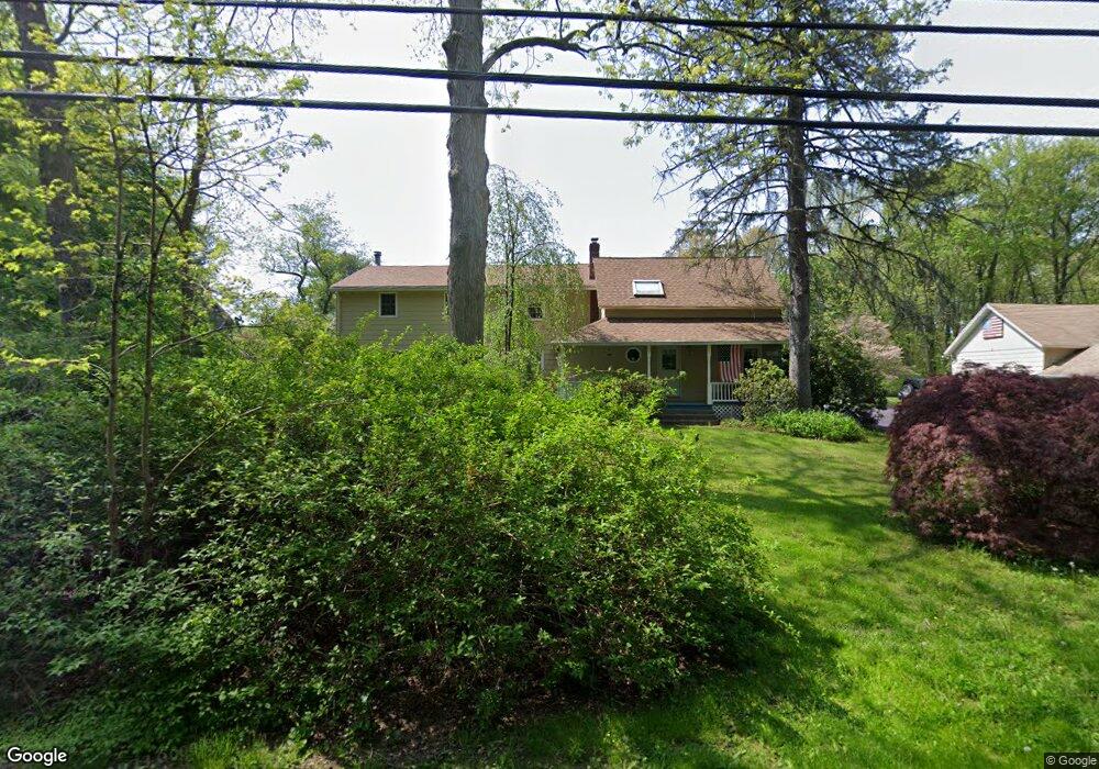
85 Adams Rd Unit 87 Easton, CT 06612
Estimated Value: $657,000 - $795,935
1
Bed
1
Bath
556
Sq Ft
$1,275/Sq Ft
Est. Value
About This Home
This home is located at 85 Adams Rd Unit 87, Easton, CT 06612 and is currently estimated at $708,978, approximately $1,275 per square foot. 85 Adams Rd Unit 87 is a home located in Fairfield County with nearby schools including Samuel Staples Elementary School, Helen Keller Middle School, and Joel Barlow High School.
Ownership History
Date
Name
Owned For
Owner Type
Purchase Details
Closed on
Apr 22, 2025
Sold by
Mcguire Ronald G and Mcguire Stephanie G
Bought by
Mcguire Fret and Mcguire M
Current Estimated Value
Purchase Details
Closed on
Aug 16, 1985
Bought by
Mcguire Ronald G and Mcguire Stephanie B
Create a Home Valuation Report for This Property
The Home Valuation Report is an in-depth analysis detailing your home's value as well as a comparison with similar homes in the area
Home Values in the Area
Average Home Value in this Area
Purchase History
| Date | Buyer | Sale Price | Title Company |
|---|---|---|---|
| Mcguire Fret | -- | None Available | |
| Mcguire Fret | -- | None Available | |
| Mcguire Ronald G | $190,000 | -- |
Source: Public Records
Mortgage History
| Date | Status | Borrower | Loan Amount |
|---|---|---|---|
| Previous Owner | Mcguire Ronald G | $240,000 | |
| Previous Owner | Mcguire Ronald G | $200,000 |
Source: Public Records
Tax History Compared to Growth
Tax History
| Year | Tax Paid | Tax Assessment Tax Assessment Total Assessment is a certain percentage of the fair market value that is determined by local assessors to be the total taxable value of land and additions on the property. | Land | Improvement |
|---|---|---|---|---|
| 2025 | $12,977 | $418,600 | $174,440 | $244,160 |
| 2024 | $12,365 | $418,600 | $174,440 | $244,160 |
| 2023 | $12,123 | $418,600 | $174,440 | $244,160 |
| 2022 | $11,905 | $418,600 | $174,440 | $244,160 |
| 2021 | $12,940 | $400,010 | $222,200 | $177,810 |
| 2020 | $12,400 | $400,010 | $222,200 | $177,810 |
| 2019 | $12,532 | $400,010 | $222,200 | $177,810 |
| 2018 | $13,616 | $433,910 | $222,200 | $211,710 |
| 2017 | $14,484 | $433,910 | $222,200 | $211,710 |
| 2016 | $13,689 | $444,320 | $264,910 | $179,410 |
| 2015 | $13,498 | $444,320 | $264,910 | $179,410 |
| 2014 | $13,285 | $444,320 | $264,910 | $179,410 |
Source: Public Records
Map
Nearby Homes
- 85 Westport Rd
- 101 Northwood Dr
- 897 Sport Hill Rd
- 100 Honeysuckle Hill Ln
- 63 Flat Rock Dr
- 305 Sport Hill Rd
- 48 Sunset Rd
- 39 Sunset Rd
- 16 Manor Ln
- 68 High Ridge Rd
- 38 Chester Rd
- 132 Merrimac Dr
- 34 Merrimac Dr
- 80 Norton Rd
- 35 Sturbridge Rd
- 83 Buck Hill Rd
- 67 Limerick Rd
- 354 Black Rock Turnpike
- 93 Tersana Dr
- 18 Wells Hill Rd
- 85 Adams Rd
- 65 Adams Rd
- 104 Adams Rd
- 95 Adams Rd
- 52 Kachele St
- 56 Adams Rd
- 615 Sport Hill Rd
- 51 Adams Rd
- 629 Sport Hill Rd
- 595 Sport Hill Rd
- 45 Adams Rd
- 32 Adams Rd
- 645 Sport Hill Rd
- 15 Kellers Farm Rd
- 44 Adams Rd
- 25 Kellers Farm Rd
- 129 Adams Rd
- 610 Sport Hill Rd
- 575 Sport Hill Rd
- 575 Sport Hill Rd Unit 1