85 Carter Rd Freeport, ME 04032
Estimated Value: $574,113 - $891,000
3
Beds
2
Baths
2,048
Sq Ft
$358/Sq Ft
Est. Value
About This Home
This home is located at 85 Carter Rd, Freeport, ME 04032 and is currently estimated at $733,778, approximately $358 per square foot. 85 Carter Rd is a home with nearby schools including Morse Street School, Mast Landing School, and Freeport Middle School.
Create a Home Valuation Report for This Property
The Home Valuation Report is an in-depth analysis detailing your home's value as well as a comparison with similar homes in the area
Home Values in the Area
Average Home Value in this Area
Tax History
| Year | Tax Paid | Tax Assessment Tax Assessment Total Assessment is a certain percentage of the fair market value that is determined by local assessors to be the total taxable value of land and additions on the property. | Land | Improvement |
|---|---|---|---|---|
| 2025 | $6,066 | $438,000 | $159,300 | $278,700 |
| 2024 | $5,746 | $430,400 | $151,700 | $278,700 |
| 2023 | $5,215 | $379,300 | $137,900 | $241,400 |
| 2022 | $5,018 | $367,600 | $126,200 | $241,400 |
| 2021 | $4,907 | $367,600 | $126,200 | $241,400 |
| 2020 | $4,665 | $333,200 | $106,600 | $226,600 |
| 2019 | $4,456 | $311,600 | $100,600 | $211,000 |
| 2018 | $4,357 | $289,500 | $91,900 | $197,600 |
| 2017 | $4,161 | $278,300 | $89,800 | $188,500 |
| 2016 | $4,105 | $259,800 | $84,900 | $174,900 |
Source: Public Records
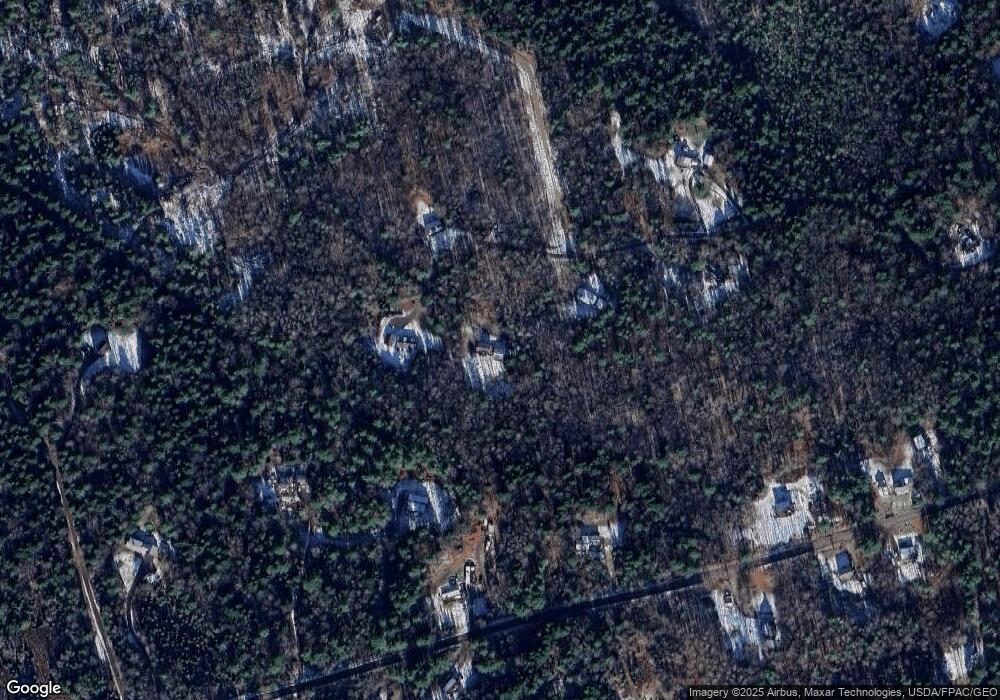
Map
Nearby Homes
- 32 Grant Rd
- 42A Wardtown Rd
- 21 Renee Rd
- 143 Bragdon Rd
- 1595 U S 1
- 1 Wardtown Rd
- 8 Statler Ln
- 31 Allen Range Rd
- 0 Prout Rd
- 1260 Us Route 1
- 006-114 Old Brunswick Rd
- 4 Harper's Trail
- 45 Beech Hill Rd
- Lot 9 Little Fawn Ln
- 15 Tinkers Way
- 42 Durham Rd
- Lot 8 Crossman Dr
- 144 Moody Rd
- 212 Main St
- 10 Durham Rd
Your Personal Tour Guide
Ask me questions while you tour the home.