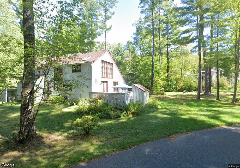
85 Crossbrook Ave Amherst, MA 01002
Estimated Value: $411,000 - $513,000
3
Beds
3
Baths
1,734
Sq Ft
$267/Sq Ft
Est. Value
About This Home
This home is located at 85 Crossbrook Ave, Amherst, MA 01002 and is currently estimated at $463,148, approximately $267 per square foot. 85 Crossbrook Ave is a home located in Hampshire County with nearby schools including Fort River Elementary School, Amherst Regional Middle School, and Amherst Regional High School.
Ownership History
Date
Name
Owned For
Owner Type
Purchase Details
Closed on
Aug 26, 2010
Sold by
Kochapski Gary P
Bought by
Buckner Robert L and Buckner Alice P
Current Estimated Value
Home Financials for this Owner
Home Financials are based on the most recent Mortgage that was taken out on this home.
Original Mortgage
$140,000
Interest Rate
4.57%
Mortgage Type
Purchase Money Mortgage
Purchase Details
Closed on
Mar 12, 2007
Sold by
Clark-Judd Amanda and Hilliard Amanda
Bought by
Kochapski Gary
Home Financials for this Owner
Home Financials are based on the most recent Mortgage that was taken out on this home.
Original Mortgage
$204,800
Interest Rate
6.3%
Mortgage Type
Purchase Money Mortgage
Purchase Details
Closed on
Oct 6, 1997
Sold by
Calas Marta B and Smircich Linda M
Bought by
Hilliard Amanda
Create a Home Valuation Report for This Property
The Home Valuation Report is an in-depth analysis detailing your home's value as well as a comparison with similar homes in the area
Home Values in the Area
Average Home Value in this Area
Purchase History
| Date | Buyer | Sale Price | Title Company |
|---|---|---|---|
| Buckner Robert L | $252,000 | -- | |
| Kochapski Gary | $256,000 | -- | |
| Hilliard Amanda | $136,500 | -- |
Source: Public Records
Mortgage History
| Date | Status | Borrower | Loan Amount |
|---|---|---|---|
| Open | Hilliard Amanda | $38,000 | |
| Open | Hilliard Amanda | $185,000 | |
| Closed | Buckner Robert L | $140,000 | |
| Previous Owner | Kochapski Gary | $204,800 |
Source: Public Records
Tax History
| Year | Tax Paid | Tax Assessment Tax Assessment Total Assessment is a certain percentage of the fair market value that is determined by local assessors to be the total taxable value of land and additions on the property. | Land | Improvement |
|---|---|---|---|---|
| 2025 | $65 | $363,300 | $0 | $363,300 |
| 2024 | $6,342 | $342,600 | $0 | $342,600 |
| 2023 | $5,465 | $271,900 | $0 | $271,900 |
| 2022 | $5,490 | $258,100 | $0 | $258,100 |
| 2021 | $5,241 | $240,200 | $0 | $240,200 |
| 2020 | $5,663 | $265,600 | $0 | $265,600 |
| 2019 | $5,411 | $248,200 | $0 | $248,200 |
| 2018 | $5,247 | $248,200 | $0 | $248,200 |
| 2017 | $5,156 | $236,200 | $0 | $236,200 |
| 2016 | $5,012 | $236,200 | $0 | $236,200 |
| 2015 | $4,852 | $236,200 | $0 | $236,200 |
Source: Public Records
Map
Nearby Homes
- 53 Pine Grove Unit 53
- 67 Pine Grove Unit 67
- 100 Larkspur Dr
- 310 Belchertown Rd
- 130 Linden Ridge Rd
- 23 Alyssum Dr
- 0 Heatherstone Rd
- 61 S Valley Rd
- 0 Amherst Rd
- 9 Harkness Rd
- 170 E Hadley Rd Unit 87
- 48 Gray St
- 0 Main St
- 270 N East St
- 0 Red Gate Ln Unit 73348273
- 89 Potwine Ln
- 60 Red Gate Ln
- 24 Greenleaves Dr Unit 418
- 141 Tracy Cir
- 26 Greenleaves Dr Unit 635
Your Personal Tour Guide
Ask me questions while you tour the home.