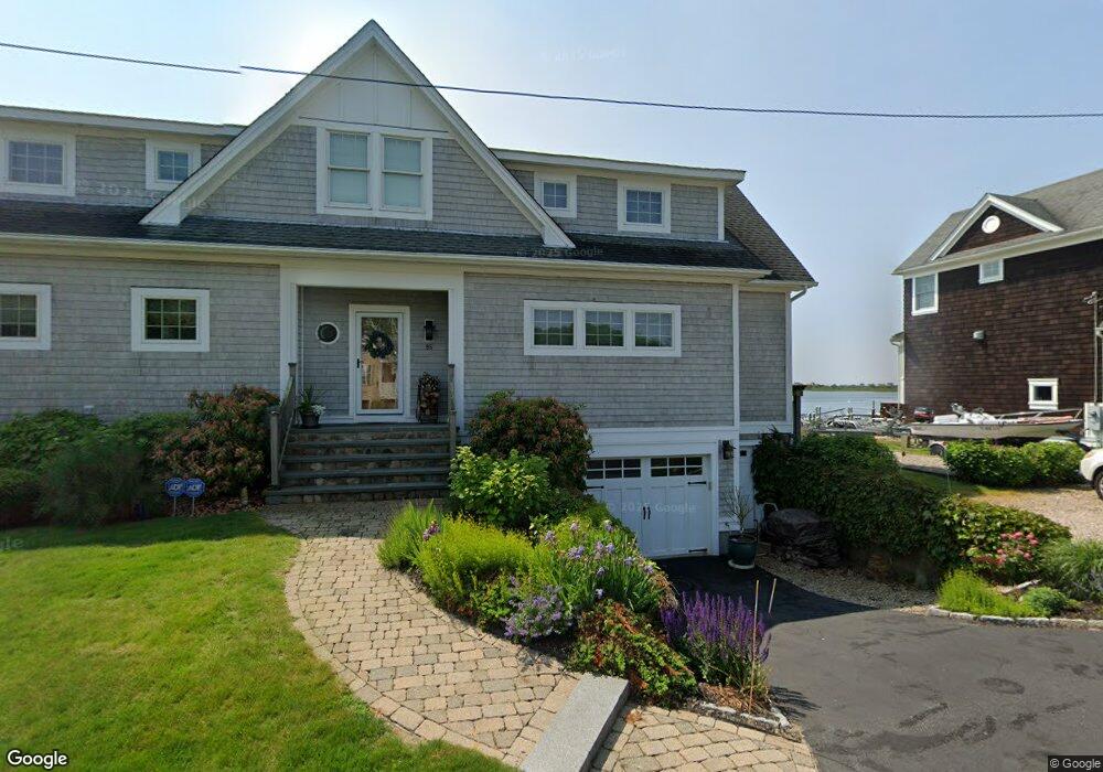
85 E Shore Rd Narragansett, RI 02882
Estimated Value: $1,283,000 - $2,147,000
2
Beds
1
Bath
720
Sq Ft
$2,495/Sq Ft
Est. Value
About This Home
This home is located at 85 E Shore Rd, Narragansett, RI 02882 and is currently estimated at $1,796,379, approximately $2,494 per square foot. 85 E Shore Rd is a home located in Washington County with nearby schools including Narragansett Elementary School, Narragansett Pier Middle School, and Narragansett High School.
Ownership History
Date
Name
Owned For
Owner Type
Purchase Details
Closed on
Nov 20, 2024
Sold by
Kosko Kevin M and Schwab Jennie L
Bought by
Kevin and Kevin Jennie L
Current Estimated Value
Purchase Details
Closed on
Feb 6, 2015
Sold by
Kevin M Kosko T
Bought by
Kosko Kevin M and Schwab Jennie L
Purchase Details
Closed on
Oct 14, 2010
Sold by
Schwab Jennie L
Bought by
Schwab Jennie L
Purchase Details
Closed on
Sep 30, 1996
Sold by
Champlin John J
Bought by
Kosko Kevin M and Schwab Jennie L
Home Financials for this Owner
Home Financials are based on the most recent Mortgage that was taken out on this home.
Original Mortgage
$100,000
Interest Rate
7.83%
Create a Home Valuation Report for This Property
The Home Valuation Report is an in-depth analysis detailing your home's value as well as a comparison with similar homes in the area
Home Values in the Area
Average Home Value in this Area
Purchase History
| Date | Buyer | Sale Price | Title Company |
|---|---|---|---|
| Kevin | -- | None Available | |
| Kosko Kevin M | -- | -- | |
| Schwab Jennie L | -- | -- | |
| Kosko Kevin M | -- | -- | |
| Kosko Kevin M | $175,000 | -- |
Source: Public Records
Mortgage History
| Date | Status | Borrower | Loan Amount |
|---|---|---|---|
| Previous Owner | Kosko Kevin M | $543,750 | |
| Previous Owner | Kosko Kevin M | $100,000 |
Source: Public Records
Tax History Compared to Growth
Tax History
| Year | Tax Paid | Tax Assessment Tax Assessment Total Assessment is a certain percentage of the fair market value that is determined by local assessors to be the total taxable value of land and additions on the property. | Land | Improvement |
|---|---|---|---|---|
| 2025 | $11,345 | $1,670,800 | $917,400 | $753,400 |
| 2024 | $10,944 | $1,670,800 | $917,400 | $753,400 |
| 2023 | $10,542 | $1,132,300 | $591,900 | $540,400 |
| 2022 | $10,191 | $1,132,300 | $591,900 | $540,400 |
| 2021 | $10,032 | $1,132,300 | $591,900 | $540,400 |
| 2020 | $9,167 | $874,700 | $475,000 | $399,700 |
| 2019 | $8,948 | $874,700 | $475,000 | $399,700 |
| 2018 | $8,703 | $874,700 | $475,000 | $399,700 |
| 2017 | $9,908 | $938,300 | $565,200 | $373,100 |
| 2016 | $9,458 | $938,300 | $565,200 | $373,100 |
| 2015 | $9,327 | $938,300 | $565,200 | $373,100 |
| 2014 | $8,758 | $872,300 | $515,300 | $357,000 |
Source: Public Records
Map
Nearby Homes
- 25 Scallop Shell Rd
- 17 Goose Island Rd
- 124 Houston Ave
- 45 Durkin Dr
- 0 Houston Ave
- 271 Great Island Rd
- 232 Sand Hill Cove Rd Unit 232 C
- 1185 Succotash Rd
- 0 Point Judith Rd
- 0 Hemlock Ave
- 40 Wild Rose Ct
- 89 Sand Hill Cove Rd
- 6 MacAlder St
- 23 E Matunuck Farm Dr
- 16 High Tides Ln
- 18 Greenbrier Rd
- 8 Pocono Rd
- 0 Stanton Ave
- 691 Succotash Rd
- 120 Chestnut Ave