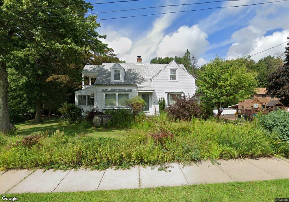
85 East Rd Bristol, CT 06010
South Bristol NeighborhoodEstimated Value: $339,000 - $382,508
2
Beds
3
Baths
1,933
Sq Ft
$184/Sq Ft
Est. Value
About This Home
This home is located at 85 East Rd, Bristol, CT 06010 and is currently estimated at $356,127, approximately $184 per square foot. 85 East Rd is a home located in Hartford County with nearby schools including Chippens Hill Middle School, Bristol Central High School, and Immanuel Lutheran School.
Ownership History
Date
Name
Owned For
Owner Type
Purchase Details
Closed on
Sep 3, 2020
Sold by
Roald M Erling Ft
Bought by
Lange Richard O and Lange Rhoda E
Current Estimated Value
Home Financials for this Owner
Home Financials are based on the most recent Mortgage that was taken out on this home.
Original Mortgage
$211,761
Outstanding Balance
$188,269
Interest Rate
3%
Mortgage Type
VA
Estimated Equity
$167,858
Purchase Details
Closed on
Aug 24, 2012
Sold by
Erling Roald M
Bought by
Allaire Stephen O
Create a Home Valuation Report for This Property
The Home Valuation Report is an in-depth analysis detailing your home's value as well as a comparison with similar homes in the area
Home Values in the Area
Average Home Value in this Area
Purchase History
| Date | Buyer | Sale Price | Title Company |
|---|---|---|---|
| Lange Richard O | $207,000 | None Available | |
| Allaire Stephen O | -- | -- |
Source: Public Records
Mortgage History
| Date | Status | Borrower | Loan Amount |
|---|---|---|---|
| Open | Lange Richard O | $211,761 | |
| Previous Owner | Allaire Stephen O | $100,000 | |
| Previous Owner | Allaire Stephen O | $20,000 |
Source: Public Records
Tax History Compared to Growth
Tax History
| Year | Tax Paid | Tax Assessment Tax Assessment Total Assessment is a certain percentage of the fair market value that is determined by local assessors to be the total taxable value of land and additions on the property. | Land | Improvement |
|---|---|---|---|---|
| 2025 | $6,726 | $199,290 | $62,580 | $136,710 |
| 2024 | $6,347 | $199,290 | $62,580 | $136,710 |
| 2023 | $6,048 | $199,290 | $62,580 | $136,710 |
| 2022 | $5,756 | $150,080 | $48,720 | $101,360 |
| 2021 | $5,756 | $150,080 | $48,720 | $101,360 |
| 2020 | $5,756 | $150,080 | $48,720 | $101,360 |
| 2019 | $5,711 | $150,080 | $48,720 | $101,360 |
| 2018 | $5,535 | $150,080 | $48,720 | $101,360 |
| 2017 | $5,882 | $163,240 | $69,580 | $93,660 |
| 2016 | $5,882 | $163,240 | $69,580 | $93,660 |
| 2015 | $5,650 | $163,240 | $69,580 | $93,660 |
| 2014 | $5,650 | $163,240 | $69,580 | $93,660 |
Source: Public Records
Map
Nearby Homes
- 160 Wolcott St
- 81 Wolcott St
- 90 Pleasant View Ave
- 38 Porter Ct
- 33 Atkins Ave
- 202 Pleasant View Ave
- 15 Carlson St
- 52 & 54 Sigourney St
- 70 Allen St
- 287 East Rd
- 115 S Street Extension
- 88 Magnolia Ave
- 33 Emory Ct
- 29 Northmont Road Extension
- 176 Gridley St
- 13 Edgewood St
- 148 Greene St
- 11 Woodbine St
- 168 Greene St
- 155 Melinda Ln
- 97 East Rd
- 90 East Rd
- 6 Greystone Ave
- 105 East Rd
- 96 East Rd
- 12 Greystone Ave
- 111315 Murray Rd
- 104 East Rd
- 15 Greystone Ave
- 18 Greystone Ave
- 6 Pleasant View Ave
- 113 East Rd
- 21 Greystone Ave
- 24 Greystone Ave
- 16 Pleasant View Ave
- 28 Greystone Ave
- 27 Greystone Ave
- 111 Union St
- 33 Greystone Ave
- 130 East Rd