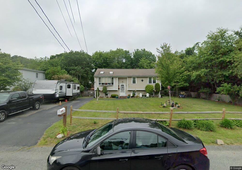
85 Hubbard Ave Brockton, MA 02301
Campello NeighborhoodEstimated Value: $467,000 - $558,000
3
Beds
2
Baths
1,510
Sq Ft
$348/Sq Ft
Est. Value
About This Home
This home is located at 85 Hubbard Ave, Brockton, MA 02301 and is currently estimated at $525,987, approximately $348 per square foot. 85 Hubbard Ave is a home located in Plymouth County with nearby schools including Davis K-8 School, John F. Kennedy Elementary School, and South Middle School.
Ownership History
Date
Name
Owned For
Owner Type
Purchase Details
Closed on
Jun 22, 1995
Sold by
Home Loan & Investmnt
Bought by
Holmes Michael C
Current Estimated Value
Purchase Details
Closed on
Mar 31, 1995
Sold by
Shruhan Gerard F and Shruhan Judith L
Bought by
Home Loan & Inv Bk
Create a Home Valuation Report for This Property
The Home Valuation Report is an in-depth analysis detailing your home's value as well as a comparison with similar homes in the area
Home Values in the Area
Average Home Value in this Area
Purchase History
| Date | Buyer | Sale Price | Title Company |
|---|---|---|---|
| Holmes Michael C | $94,000 | -- | |
| Home Loan & Inv Bk | $87,000 | -- |
Source: Public Records
Mortgage History
| Date | Status | Borrower | Loan Amount |
|---|---|---|---|
| Open | Home Loan & Inv Bk | $78,000 |
Source: Public Records
Tax History Compared to Growth
Tax History
| Year | Tax Paid | Tax Assessment Tax Assessment Total Assessment is a certain percentage of the fair market value that is determined by local assessors to be the total taxable value of land and additions on the property. | Land | Improvement |
|---|---|---|---|---|
| 2025 | $5,749 | $474,700 | $163,900 | $310,800 |
| 2024 | $5,416 | $450,600 | $163,900 | $286,700 |
| 2023 | $5,234 | $403,200 | $114,400 | $288,800 |
| 2022 | $4,691 | $335,800 | $104,000 | $231,800 |
| 2021 | $4,563 | $314,700 | $97,700 | $217,000 |
| 2020 | $4,730 | $312,200 | $85,200 | $227,000 |
| 2019 | $4,528 | $291,400 | $81,800 | $209,600 |
| 2018 | $4,317 | $268,800 | $81,800 | $187,000 |
| 2017 | $3,766 | $233,900 | $81,800 | $152,100 |
| 2016 | $3,725 | $214,600 | $78,000 | $136,600 |
| 2015 | $3,663 | $201,800 | $78,000 | $123,800 |
| 2014 | $3,553 | $196,000 | $78,000 | $118,000 |
Source: Public Records
Map
Nearby Homes
- 358 Copeland St
- 15 Longworth Ave Unit 231
- 35 Longworth Ave Unit 17
- 13 Finny's Way
- 15 Fieldstone Dr
- 1 Fairway Dr
- 47 Southworth St
- 163 S Leyden St
- 21 Roosevelt Ave
- 16 Friendship Dr
- 115 Market St
- 223 Clinton St Unit 10
- 223 Clinton St Unit 3
- 65 Tremont St
- 18 American Ave
- 122 Sinclair Rd
- 977 Warren Ave
- 139 Geralynn Dr
- 137 Channing Ave
- 44 Baker St
- 95 Hubbard Ave
- 86 Hubbard Ave
- 92 Hubbard Ave
- 82 Hubbard Ave
- 101 Stockholm Ave
- 115 Hubbard Ave
- 111 Stockholm Ave
- 35 Glendale Ave
- 104 Hubbard Ave
- 47 Glendale Ave
- 110 Hubbard Ave
- 57 Glendale Ave
- 125 Hubbard Ave
- 34 Glendale Ave
- 63 Glendale Ave
- 44 Glendale Ave
- 126 Hubbard Ave
- 28 Glendale Ave
- 11 Stockholm Ave
- 67 Glendale Ave