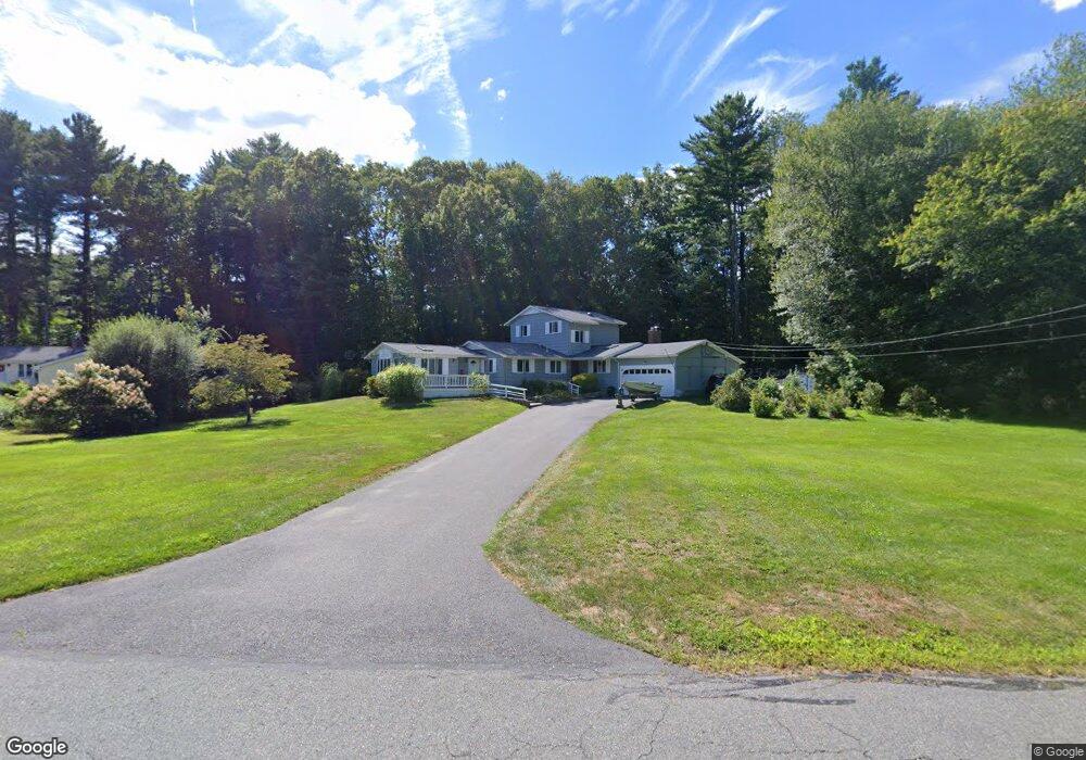
85 Karen Rd Hanover, MA 02339
Estimated Value: $739,000 - $840,000
3
Beds
2
Baths
2,464
Sq Ft
$320/Sq Ft
Est. Value
About This Home
This home is located at 85 Karen Rd, Hanover, MA 02339 and is currently estimated at $788,585, approximately $320 per square foot. 85 Karen Rd is a home located in Plymouth County with nearby schools including Hanover High School, Cadence Academy Preschool - Hanover, and Cardinal Cushing Centers.
Ownership History
Date
Name
Owned For
Owner Type
Purchase Details
Closed on
Mar 23, 2022
Sold by
Ehrenzeller Paul C
Bought by
Ehrenzeller Paul C and Ehrenzeller Joanne
Current Estimated Value
Create a Home Valuation Report for This Property
The Home Valuation Report is an in-depth analysis detailing your home's value as well as a comparison with similar homes in the area
Home Values in the Area
Average Home Value in this Area
Purchase History
| Date | Buyer | Sale Price | Title Company |
|---|---|---|---|
| Ehrenzeller Paul C | -- | None Available | |
| Ehrenzeller Paul C | -- | None Available |
Source: Public Records
Tax History Compared to Growth
Tax History
| Year | Tax Paid | Tax Assessment Tax Assessment Total Assessment is a certain percentage of the fair market value that is determined by local assessors to be the total taxable value of land and additions on the property. | Land | Improvement |
|---|---|---|---|---|
| 2025 | $8,223 | $665,800 | $269,400 | $396,400 |
| 2024 | $8,264 | $643,600 | $269,400 | $374,200 |
| 2023 | $7,684 | $569,600 | $244,900 | $324,700 |
| 2022 | $8,479 | $556,000 | $244,900 | $311,100 |
| 2021 | $5,447 | $529,100 | $211,500 | $317,600 |
| 2020 | $5,682 | $348,400 | $211,500 | $136,900 |
| 2019 | $0 | $362,900 | $211,500 | $151,400 |
| 2018 | $6,240 | $383,300 | $211,500 | $171,800 |
| 2017 | $0 | $379,900 | $209,500 | $170,400 |
| 2016 | $6,816 | $404,300 | $190,500 | $213,800 |
| 2015 | $6,156 | $381,200 | $190,500 | $190,700 |
Source: Public Records
Map
Nearby Homes
- 180 Elm St
- 186 Elm St
- 114 Graham Hill Dr
- 16 Broad Oak Way
- 7 Farmside Dr
- 51 Cervelli Farm Dr
- 37 Dr
- 23 Cervelli Farm Dr
- 38 Cervelli Farm Dr
- 9 Cervelli Farm Dr
- 250 Center St
- 436 Center St
- 14 Longwood Ln Unit 14
- Lot 22 Adams Cir
- 28 Old Shipyard Ln
- 1251 Broadway
- 553 Center St
- 15 Elm Place
- 41 Gail Rd
- 20 Meadow Brook Rd