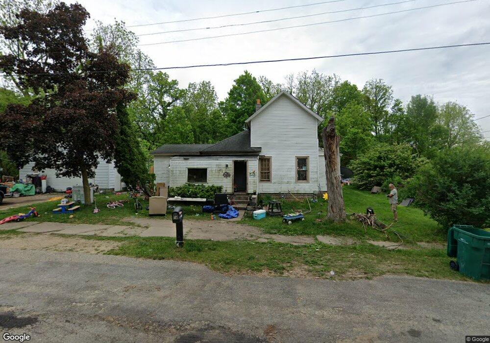
85 Kenosha Ave Battle Creek, MI 49014
Post Franklin NeighborhoodEstimated Value: $79,000 - $101,000
4
Beds
1
Bath
1,249
Sq Ft
$70/Sq Ft
Est. Value
About This Home
This home is located at 85 Kenosha Ave, Battle Creek, MI 49014 and is currently estimated at $87,834, approximately $70 per square foot. 85 Kenosha Ave is a home located in Calhoun County with nearby schools including Post-Franklin Elementary School, Springfield Middle School, and Battle Creek Central High School.
Ownership History
Date
Name
Owned For
Owner Type
Purchase Details
Closed on
Mar 1, 2021
Sold by
Comello Dean A
Bought by
Bbarton Wendell and Barton Virginia
Current Estimated Value
Purchase Details
Closed on
Apr 22, 2008
Sold by
Ossman Tracy D
Bought by
Comello Dean A and Comello Debra K
Purchase Details
Closed on
Apr 15, 2008
Sold by
Comello Dean A and Comello Debra K
Bought by
Ossman Tracy D
Purchase Details
Closed on
Jan 12, 2000
Bought by
Comello
Purchase Details
Closed on
Sep 17, 1999
Bought by
Bankers Trust Co
Purchase Details
Closed on
Jul 10, 1997
Bought by
Cable
Purchase Details
Closed on
Jul 9, 1997
Bought by
Cable
Purchase Details
Closed on
Jun 30, 1997
Bought by
Holley
Create a Home Valuation Report for This Property
The Home Valuation Report is an in-depth analysis detailing your home's value as well as a comparison with similar homes in the area
Home Values in the Area
Average Home Value in this Area
Purchase History
| Date | Buyer | Sale Price | Title Company |
|---|---|---|---|
| Bbarton Wendell | $52,000 | None Available | |
| Comello Dean A | -- | None Listed On Document | |
| Ossman Tracy D | -- | None Available | |
| Comello | $12,000 | -- | |
| Bankers Trust Co | $20,000 | -- | |
| Cable | $24,000 | -- | |
| Cable | -- | -- | |
| Holley | $12,000 | -- |
Source: Public Records
Tax History Compared to Growth
Tax History
| Year | Tax Paid | Tax Assessment Tax Assessment Total Assessment is a certain percentage of the fair market value that is determined by local assessors to be the total taxable value of land and additions on the property. | Land | Improvement |
|---|---|---|---|---|
| 2025 | -- | $43,400 | $0 | $0 |
| 2024 | $777 | $36,347 | $0 | $0 |
| 2023 | $1,103 | $33,172 | $0 | $0 |
| 2022 | $702 | $27,625 | $0 | $0 |
| 2021 | $838 | $25,630 | $0 | $0 |
| 2020 | $788 | $25,172 | $0 | $0 |
| 2019 | $809 | $20,207 | $0 | $0 |
| 2018 | $809 | $16,954 | $685 | $16,269 |
| 2017 | $883 | $20,918 | $0 | $0 |
| 2016 | $882 | $19,778 | $0 | $0 |
| 2015 | $864 | $25,013 | $3,111 | $21,902 |
| 2014 | $864 | $18,740 | $3,111 | $15,629 |
Source: Public Records
Map
Nearby Homes
- 503 S Shore Dr
- 76 Taft St
- 519 S Shore Dr
- 93 Goguac St E
- 47 Alden Ave W
- 66 Cleveland St
- 17 Tennyson Ave
- 77 Leitch Dr
- 418 Main St
- 50 Douglas St
- 1 Grand Blvd
- 52 E Acacia Blvd
- 245 Columbia Ave E
- 32 Territorial Rd E
- 57 Boulder St
- 112 Darragh Dr
- 0 Cherokee St
- 156 Woodway Ave
- 136 Jericho Rd
- 96 Battle Creek Ave