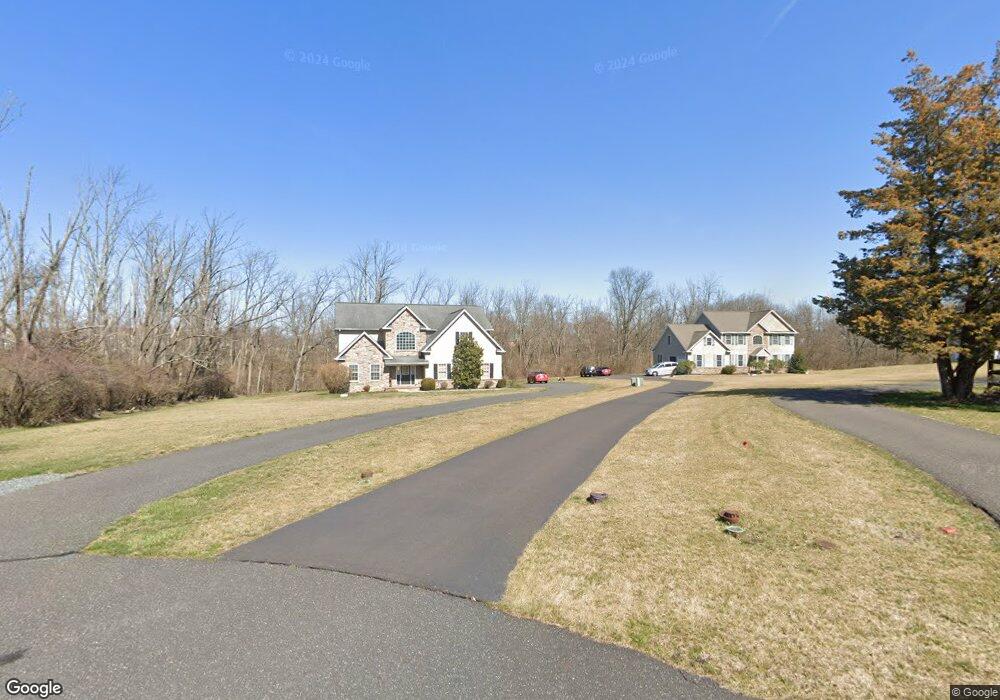
85 Loughran Ln Telford, PA 18969
Estimated Value: $647,000 - $781,087
3
Beds
3
Baths
3,000
Sq Ft
$244/Sq Ft
Est. Value
About This Home
This home is located at 85 Loughran Ln, Telford, PA 18969 and is currently estimated at $731,022, approximately $243 per square foot. 85 Loughran Ln is a home located in Montgomery County with nearby schools including Franconia Elementary School, Indian Crest Middle School, and Souderton Area Senior High School.
Ownership History
Date
Name
Owned For
Owner Type
Purchase Details
Closed on
Aug 31, 2006
Sold by
Darrah Dorothy and Darrah Drew
Bought by
Walter Christine and Walter Joseph
Current Estimated Value
Home Financials for this Owner
Home Financials are based on the most recent Mortgage that was taken out on this home.
Original Mortgage
$391,360
Outstanding Balance
$235,538
Interest Rate
6.71%
Estimated Equity
$495,484
Purchase Details
Closed on
Jun 29, 2006
Sold by
Darrah Drew and Darrah Dorothy
Bought by
Castle Cynthia M
Create a Home Valuation Report for This Property
The Home Valuation Report is an in-depth analysis detailing your home's value as well as a comparison with similar homes in the area
Home Values in the Area
Average Home Value in this Area
Purchase History
| Date | Buyer | Sale Price | Title Company |
|---|---|---|---|
| Walter Christine | $489,200 | None Available | |
| Castle Cynthia M | -- | None Available |
Source: Public Records
Mortgage History
| Date | Status | Borrower | Loan Amount |
|---|---|---|---|
| Open | Walter Christine | $391,360 |
Source: Public Records
Tax History Compared to Growth
Tax History
| Year | Tax Paid | Tax Assessment Tax Assessment Total Assessment is a certain percentage of the fair market value that is determined by local assessors to be the total taxable value of land and additions on the property. | Land | Improvement |
|---|---|---|---|---|
| 2025 | $10,795 | $268,780 | -- | -- |
| 2024 | $10,795 | $268,780 | -- | -- |
| 2023 | $10,300 | $268,780 | $0 | $0 |
| 2022 | $9,985 | $268,780 | $0 | $0 |
| 2021 | $9,776 | $268,780 | $0 | $0 |
| 2020 | $9,643 | $268,780 | $0 | $0 |
| 2019 | $8,802 | $268,780 | $0 | $0 |
| 2018 | $9,528 | $268,780 | $0 | $0 |
| 2017 | $9,288 | $268,780 | $0 | $0 |
| 2016 | $9,183 | $268,780 | $0 | $0 |
| 2015 | $8,933 | $268,780 | $0 | $0 |
| 2014 | $8,933 | $268,780 | $0 | $0 |
Source: Public Records
Map
Nearby Homes
- 799 Evergreen Cir
- 801 Evergreen Cir
- 100 Anjou Ct
- 820 Evergreen Cir
- 211 Grove Ct
- 2580 Wellington Way
- 2513 Wellington Way
- 109 Forrest Rd
- 226 N Main St
- 20 Ryan Ct
- 5 Ryan Ct
- 195 N Washington St
- 308 Erie Ave
- 196 Penn Ave
- 157 Erie Ave
- 3443 Devlin Way
- 317 Pleasant Valley Dr
- 321 W Hamlin Ave
- 270 Telford Pike
- 70 W Hamlin Ave
- 87 Loughran Ln
- 5 Loughran Ln
- 0 Loughran Ln Unit 6901438
- 89 Loughran Ln
- 616 Melvins Rd
- 628 Melvins Rd
- 83 Loughran Ln
- 789 Evergreen Cir
- 631 N 4th St
- 787 Evergreen Cir
- 791 Evergreen Cir
- 785 Evergreen Cir
- 783 Evergreen Cir
- 781 Evergreen Cir
- 613 N 4th St
- 621 N 4th St
- 619 N 4th St
- 626 Melvins Rd
- 618 Melvins Rd
- 793 Evergreen Cir