85 Mountain Side Ln Jasper, GA 30143
Estimated Value: $224,774 - $417,000
2
Beds
2
Baths
1,056
Sq Ft
$294/Sq Ft
Est. Value
About This Home
This home is located at 85 Mountain Side Ln, Jasper, GA 30143 and is currently estimated at $309,944, approximately $293 per square foot. 85 Mountain Side Ln is a home located in Pickens County with nearby schools including Tate Elementary School, Pickens County Middle School, and Pickens County High School.
Ownership History
Date
Name
Owned For
Owner Type
Purchase Details
Closed on
Jun 18, 2018
Sold by
Arnold Marty M
Bought by
Arnold Marty
Current Estimated Value
Purchase Details
Closed on
Dec 18, 1989
Bought by
Scarano John J and Hardison William
Purchase Details
Closed on
Apr 18, 1986
Bought by
United Properties
Create a Home Valuation Report for This Property
The Home Valuation Report is an in-depth analysis detailing your home's value as well as a comparison with similar homes in the area
Home Values in the Area
Average Home Value in this Area
Purchase History
| Date | Buyer | Sale Price | Title Company |
|---|---|---|---|
| Arnold Marty | -- | -- | |
| Scarano John J | $87,900 | -- | |
| United Properties | -- | -- |
Source: Public Records
Tax History Compared to Growth
Tax History
| Year | Tax Paid | Tax Assessment Tax Assessment Total Assessment is a certain percentage of the fair market value that is determined by local assessors to be the total taxable value of land and additions on the property. | Land | Improvement |
|---|---|---|---|---|
| 2024 | $762 | $38,484 | $9,625 | $28,859 |
| 2023 | $783 | $38,484 | $9,625 | $28,859 |
| 2022 | $783 | $38,484 | $9,625 | $28,859 |
| 2021 | $839 | $38,484 | $9,625 | $28,859 |
| 2020 | $864 | $38,484 | $9,625 | $28,859 |
| 2019 | $884 | $38,484 | $9,625 | $28,859 |
| 2018 | $892 | $38,484 | $9,625 | $28,859 |
| 2017 | $906 | $38,484 | $9,625 | $28,859 |
| 2016 | $921 | $38,484 | $9,625 | $28,859 |
| 2015 | $899 | $38,484 | $9,625 | $28,859 |
| 2014 | $901 | $38,484 | $9,625 | $28,859 |
| 2013 | -- | $38,484 | $9,625 | $28,858 |
Source: Public Records
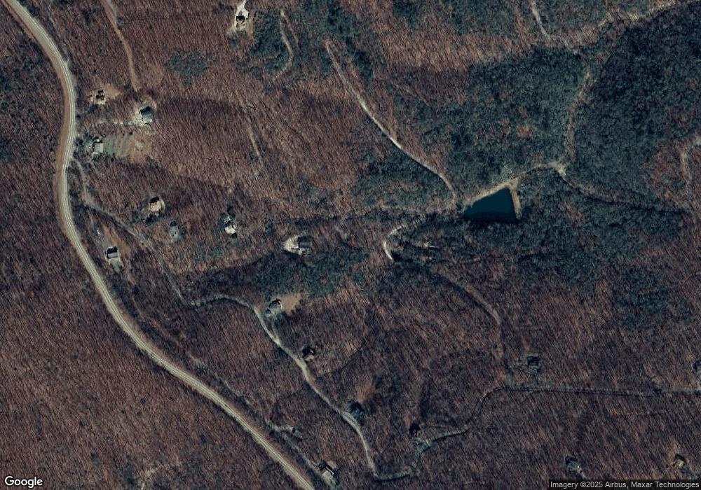
Map
Nearby Homes
- 0 Burnt Mountain Cove Rd Unit 7504095
- 0 Burnt Mountain Cove Rd Unit 4C & 7C 10434439
- 956 Sunrise Ridge
- 168 Burnt Mountain Cove Rd
- 13.57 Ac Burnt Mountain Cove Rd
- 110 Burnt Mountain Cove Rd
- 18N Bear Paw Rd
- 463 Burnt Mountain Ridge Rd
- 189 Saint Andrews Way
- 0 Edinborough Ct Unit 7605469
- 123 Edinborough Ct
- 205 Laurel Branch Dr
- 122 Cloudland Dr
- 59 St Andrews Way
- 70 St Andrews Way
- 0 Northland Trail Unit 10472985
- 186 Saint Andrews Way
- 503 Saint Andrews Way
- 63 Saint Andrews Way
- 137 Saint Andrews Way
- 87 Mountain Side Ln
- 161 Burnt Mountain Cove Rd
- 80 Harris Trail
- 75 Mountain Side Ln
- 252 Spring Run Rd
- 252 Spring Run Rd
- 226 Spring Run Rd
- 1 Honeysuckle Hwy
- LOT 19 Honeysuckle Hwy
- 19C Honeysuckle Hwy
- LOT 19C Honeysuckle Hwy
- 200 Spring Run
- 200 Spring Run Rd
- 00 Spring Run
- 83 Longview Rd
- 0 Spring Run
- 60 Spring Run Rd
- 81 Longview Rd
- 160 Uplands Rd
- 160 Honeysuckle Hwy