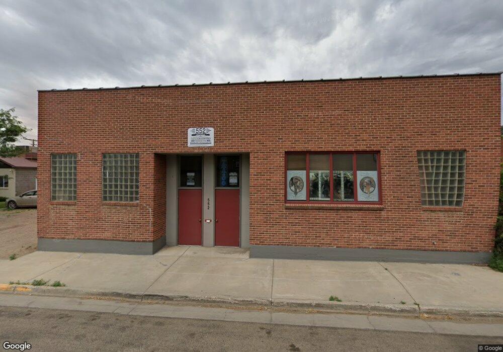
Estimated Value: $436,000 - $535,000
3
Beds
2
Baths
2,055
Sq Ft
$233/Sq Ft
Est. Value
About This Home
This home is located at 85 N Mistletoe Ct, Craig, CO 81625 and is currently estimated at $479,276, approximately $233 per square foot. 85 N Mistletoe Ct is a home located in Moffat County with nearby schools including Moffat County High School.
Ownership History
Date
Name
Owned For
Owner Type
Purchase Details
Closed on
May 13, 2025
Sold by
Pierre And Kaye Johnson Family Trust
Bought by
Troy L And Debra L Taylor Trust
Current Estimated Value
Purchase Details
Closed on
Dec 18, 2020
Sold by
Weis Kimberly Jayne
Bought by
Wright Harry Loretta Bernice and Wright Harry Michael
Home Financials for this Owner
Home Financials are based on the most recent Mortgage that was taken out on this home.
Original Mortgage
$252,000
Interest Rate
2.8%
Mortgage Type
New Conventional
Create a Home Valuation Report for This Property
The Home Valuation Report is an in-depth analysis detailing your home's value as well as a comparison with similar homes in the area
Purchase History
| Date | Buyer | Sale Price | Title Company |
|---|---|---|---|
| Troy L And Debra L Taylor Trust | -- | None Listed On Document | |
| Wright Harry Loretta Bernice | $280,000 | Abstract & Title Co |
Source: Public Records
Mortgage History
| Date | Status | Borrower | Loan Amount |
|---|---|---|---|
| Previous Owner | Wright Harry Loretta Bernice | $252,000 |
Source: Public Records
Tax History
| Year | Tax Paid | Tax Assessment Tax Assessment Total Assessment is a certain percentage of the fair market value that is determined by local assessors to be the total taxable value of land and additions on the property. | Land | Improvement |
|---|---|---|---|---|
| 2024 | $1,514 | $22,350 | $0 | $0 |
| 2023 | $1,514 | $22,350 | $4,100 | $18,250 |
| 2022 | $1,277 | $19,560 | $4,950 | $14,610 |
| 2021 | $1,284 | $20,120 | $5,090 | $15,030 |
| 2020 | $1,183 | $18,860 | $5,090 | $13,770 |
| 2019 | $1,169 | $18,860 | $5,090 | $13,770 |
| 2018 | $1,103 | $17,690 | $5,130 | $12,560 |
| 2017 | $1,149 | $17,690 | $5,130 | $12,560 |
| 2016 | $1,159 | $18,650 | $5,670 | $12,980 |
| 2015 | $1,228 | $18,650 | $5,670 | $12,980 |
| 2013 | $1,228 | $19,390 | $5,670 | $13,720 |
Source: Public Records
Map
Nearby Homes
- TBD N Highway 13
- TBD Cty Rd 22 Lot 4
- TBD Cty Rd 22 Lot3
- TBD E Johnson Loop
- TBD
- TBD Cty Rd 22 Parcel A
- 0 Tbd County Road 103 Unit 11632425
- 0 Tbd County Road 103 Unit 26055238
- 289 Lewis Ln
- TBD Cty Rd 22 Lot1
- 870 Jerimiah Ave
- 665 Conner Dr
- 759 Ashley Rd
- TBD Pine St Unit 34-36
- TBD Pine St Unit 28-30
- TBD Pine St Unit 31-33
- TBD Pine St Unit 37-39
- TBD Pine St
- 952 E 11th St
- 997 E 10th St
- 141 Mistletoe Ct
- TBD Mistletoe Ct
- TBD N Mistletoe Ct Unit Lot 29B
- 391 Galley Rd
- 944 Galley Rd
- 36220 N Highway 13
- 1053 Galley Rd
- 3 Harvey Trail
- 4715 Johnson Rd
- 1193 Johnson Rd
- 36550 N Highway 13
- 35359 N Highway 13
- 35911 N Highway 13
- 35911 Colorado 13
- 35595 N Highway 13
- 35597 N Highway 13
- 3870/3078 Johnson View Ct
- 10 County Road 22
- 0 Tbd Unit 23600343
- 0 Tbd Unit 21875219
