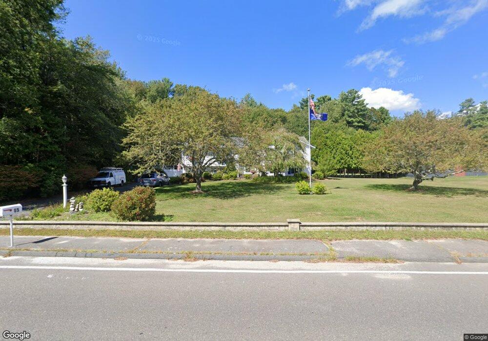
85 Peckham Rd Acushnet, MA 02743
Estimated Value: $650,326 - $1,049,000
Studio
2
Baths
3,001
Sq Ft
$260/Sq Ft
Est. Value
About This Home
This home is located at 85 Peckham Rd, Acushnet, MA 02743 and is currently estimated at $779,582, approximately $259 per square foot. 85 Peckham Rd is a home located in Bristol County with nearby schools including Acushnet Elementary School, Albert F Ford Middle School, and Alma del Mar Charter School.
Ownership History
Date
Name
Owned For
Owner Type
Purchase Details
Closed on
Dec 23, 1999
Sold by
Medeiros Silvestre S and Medeiros Maria
Bought by
Gifford Robert E and Gifford Sylvia A
Current Estimated Value
Home Financials for this Owner
Home Financials are based on the most recent Mortgage that was taken out on this home.
Original Mortgage
$155,000
Interest Rate
7.61%
Mortgage Type
Purchase Money Mortgage
Purchase Details
Closed on
Apr 16, 1991
Sold by
Medeiros Joseph F and Lucille Medeiros M
Bought by
Medeiros Silvester S and Medeiros Maria
Create a Home Valuation Report for This Property
The Home Valuation Report is an in-depth analysis detailing your home's value as well as a comparison with similar homes in the area
Home Values in the Area
Average Home Value in this Area
Purchase History
| Date | Buyer | Sale Price | Title Company |
|---|---|---|---|
| Gifford Robert E | $235,000 | -- | |
| Medeiros Silvester S | $211,000 | -- |
Source: Public Records
Mortgage History
| Date | Status | Borrower | Loan Amount |
|---|---|---|---|
| Open | Medeiros Silvester S | $160,294 | |
| Closed | Medeiros Silvester S | $155,000 | |
| Previous Owner | Medeiros Silvester S | $50,000 |
Source: Public Records
Tax History
| Year | Tax Paid | Tax Assessment Tax Assessment Total Assessment is a certain percentage of the fair market value that is determined by local assessors to be the total taxable value of land and additions on the property. | Land | Improvement |
|---|---|---|---|---|
| 2025 | $63 | $587,900 | $141,100 | $446,800 |
| 2024 | $6,174 | $541,100 | $133,700 | $407,400 |
| 2023 | $6,068 | $505,700 | $121,300 | $384,400 |
| 2022 | $5,495 | $414,100 | $113,900 | $300,200 |
| 2021 | $5,546 | $401,000 | $113,900 | $287,100 |
| 2020 | $5,485 | $393,500 | $106,400 | $287,100 |
| 2019 | $5,475 | $386,100 | $101,500 | $284,600 |
| 2018 | $5,115 | $354,700 | $101,500 | $253,200 |
| 2017 | $4,985 | $345,200 | $101,500 | $243,700 |
| 2016 | $4,760 | $327,600 | $101,500 | $226,100 |
| 2015 | $4,367 | $305,800 | $101,500 | $204,300 |
Source: Public Records
Map
Nearby Homes
- 898 Tobey St
- 1069 Cherokee St
- 34 Poplar Rd
- 4597 Acushnet Ave
- SS Charbonneau Ln
- 0 Keene Rd Unit 73459818
- 168 Keene Rd
- 145 Heritage Dr
- 1475 Braley Rd Unit 21
- 1475 Braley Rd Unit 17
- 1471 Braley Rd Unit 4
- 765 Pine Hill Dr
- WS Phillips Rd
- ES Phillips Rd
- 1015 Forbes St
- 40 Foley Dr
- 134 Nyes Ln
- ES Acushnet Ave
- 0 Land Way Unit 73479153
- 329 Middle Rd
Your Personal Tour Guide
Ask me questions while you tour the home.