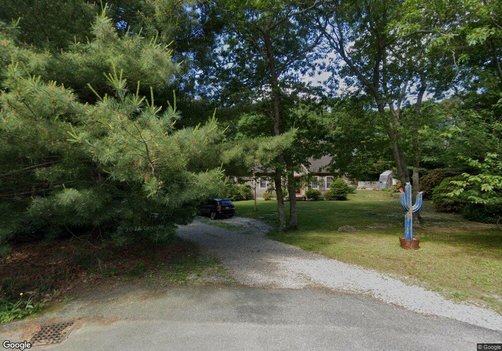
85 Peter Blossom Ln West Barnstable, MA 02668
West Barnstable NeighborhoodEstimated Value: $651,000 - $1,021,000
4
Beds
3
Baths
1,687
Sq Ft
$466/Sq Ft
Est. Value
About This Home
This home is located at 85 Peter Blossom Ln, West Barnstable, MA 02668 and is currently estimated at $785,788, approximately $465 per square foot. 85 Peter Blossom Ln is a home located in Barnstable County with nearby schools including West Barnstable Elementary School, Barnstable United Elementary School, and Barnstable Intermediate School.
Ownership History
Date
Name
Owned For
Owner Type
Purchase Details
Closed on
May 18, 2012
Sold by
Cram Robert F and Cram Lynn M
Bought by
Cram Robert F
Current Estimated Value
Purchase Details
Closed on
Feb 28, 1997
Sold by
Prevailing Rt
Bought by
Cram Robert F
Home Financials for this Owner
Home Financials are based on the most recent Mortgage that was taken out on this home.
Original Mortgage
$172,227
Interest Rate
7.78%
Mortgage Type
Purchase Money Mortgage
Purchase Details
Closed on
Jun 12, 1996
Sold by
Highview Rt and Snowden Laurie P
Bought by
Lebel James A
Create a Home Valuation Report for This Property
The Home Valuation Report is an in-depth analysis detailing your home's value as well as a comparison with similar homes in the area
Home Values in the Area
Average Home Value in this Area
Purchase History
| Date | Buyer | Sale Price | Title Company |
|---|---|---|---|
| Cram Robert F | -- | -- | |
| Cram Robert F | $168,894 | -- | |
| Lebel James A | $25,000 | -- |
Source: Public Records
Mortgage History
| Date | Status | Borrower | Loan Amount |
|---|---|---|---|
| Previous Owner | Cram Robert F | $172,227 |
Source: Public Records
Tax History Compared to Growth
Tax History
| Year | Tax Paid | Tax Assessment Tax Assessment Total Assessment is a certain percentage of the fair market value that is determined by local assessors to be the total taxable value of land and additions on the property. | Land | Improvement |
|---|---|---|---|---|
| 2025 | $5,795 | $620,400 | $176,900 | $443,500 |
| 2024 | $5,081 | $592,200 | $176,900 | $415,300 |
| 2023 | $4,829 | $530,100 | $160,900 | $369,200 |
| 2022 | $4,822 | $434,000 | $119,400 | $314,600 |
| 2021 | $4,594 | $392,000 | $119,400 | $272,600 |
| 2020 | $4,774 | $393,900 | $127,100 | $266,800 |
| 2019 | $4,479 | $364,700 | $127,100 | $237,600 |
| 2018 | $4,229 | $341,300 | $133,800 | $207,500 |
| 2017 | $4,058 | $331,500 | $133,800 | $197,700 |
| 2016 | $4,014 | $334,800 | $137,100 | $197,700 |
| 2015 | $3,777 | $315,800 | $128,100 | $187,700 |
Source: Public Records
Map
Nearby Homes
- 718 Cedar St
- 75 Old Toll Rd
- 50 Wayside Ln
- 515 Cedar St
- 6 Harpers Hollow
- 510 Cedar St
- 46 Chase Rd
- 159 Great Hill Rd
- 14 Village Dr
- 665 Route 6a
- 3 Mulberry Cir
- 2400 Meetinghouse Way
- 7 Highfield Dr
- 0 Captain Kidd Rd
- 507 Massachusetts 6a Unit 9
- 23 Old Fields Rd
- 282 Parker Rd
- 50 Currycomb Cir
- 3 Anne Cir
- 80 Saddler Ln
- 11 Desire's Ln
- 11 Desires Ln
- 3 Desire's
- 1 Desire's
- 2 Desire's
- 80 Peter Blossom Ln
- 170 Capes Trail
- 33 Desires Ln
- 33 Desires Ln Unit 1
- 10 Desires Ln
- 10 Desire's Ln
- 186 Capes Trail
- 156 Capes Trail
- 200 Capes Trail
- 140 Capes Trail
- 59 Josiahs Path
- 51 Peter Blossom Ln
- 39 Desires Ln
- 45 Josiahs Path
- 169 Capes Trail