85 Power Line Rd Stoddard, NH 03464
Estimated Value: $333,000 - $397,000
2
Beds
1
Bath
800
Sq Ft
$452/Sq Ft
Est. Value
About This Home
This home is located at 85 Power Line Rd, Stoddard, NH 03464 and is currently estimated at $361,753, approximately $452 per square foot. 85 Power Line Rd is a home with nearby schools including James Faulkner Elementary School, Mayland Early College High School, and Keene High School.
Ownership History
Date
Name
Owned For
Owner Type
Purchase Details
Closed on
Jul 28, 1999
Sold by
Vaughn Helen L
Bought by
Courtney John and Courtney Maria
Current Estimated Value
Home Financials for this Owner
Home Financials are based on the most recent Mortgage that was taken out on this home.
Original Mortgage
$53,625
Outstanding Balance
$15,362
Interest Rate
7.61%
Estimated Equity
$346,391
Create a Home Valuation Report for This Property
The Home Valuation Report is an in-depth analysis detailing your home's value as well as a comparison with similar homes in the area
Home Values in the Area
Average Home Value in this Area
Purchase History
| Date | Buyer | Sale Price | Title Company |
|---|---|---|---|
| Courtney John | $71,500 | -- |
Source: Public Records
Mortgage History
| Date | Status | Borrower | Loan Amount |
|---|---|---|---|
| Open | Courtney John | $53,625 |
Source: Public Records
Tax History Compared to Growth
Tax History
| Year | Tax Paid | Tax Assessment Tax Assessment Total Assessment is a certain percentage of the fair market value that is determined by local assessors to be the total taxable value of land and additions on the property. | Land | Improvement |
|---|---|---|---|---|
| 2024 | $3,803 | $323,390 | $247,020 | $76,370 |
| 2023 | $3,721 | $219,160 | $180,800 | $38,360 |
| 2022 | $3,579 | $219,160 | $180,800 | $38,360 |
| 2021 | $3,631 | $219,160 | $180,800 | $38,360 |
| 2020 | $3,596 | $219,160 | $180,800 | $38,360 |
| 2019 | $3,309 | $219,160 | $180,800 | $38,360 |
| 2018 | $3,301 | $206,430 | $170,800 | $35,630 |
| 2016 | $3,094 | $206,430 | $170,800 | $35,630 |
| 2014 | $3,284 | $206,430 | $170,800 | $35,630 |
| 2013 | $4,185 | $265,910 | $228,800 | $37,110 |
Source: Public Records
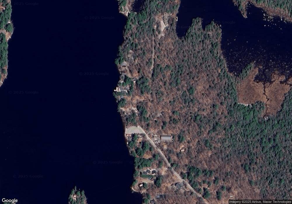
Map
Nearby Homes
- 1016 Shedd Hill Rd
- 906 Shedd Hill Rd
- 116 Beaver Lake Dr
- 00 Kennedy Brook Dr Unit 11
- 2167 Valley Rd
- 114 Eva Ln
- 00 Scenic Dr Unit 22
- 1018 Route 123 N
- 1025 Route 123 N
- 61 Old Antrim Rd
- 321 Route 123 N
- 0 Adams Dr
- 42-11 Route 9
- 286 Presidential Dr
- 335 Coolidge Dr
- 0 N Main St Unit 29
- 67 Lang Rd
- Lot 77-7 E Washington Rd
- 2379 E Washington Rd
- M7/L28 Stowe Mountain Rd
- 69 Stacey Rd
- 121 Power Line Rd
- 000 Power Line Rd
- 84 Power Line Rd
- 59 Stacey Rd
- 51 Stacey Rd
- 1549 Highland Lake Boat Access
- 43 Stacey Rd
- 139 Power Line Rd
- 33 Stacey Rd
- 110 Power Line Rd
- 155 Power Line Rd
- 165 Power Line Rd
- 10 Power Line Rd
- 1219 Shedd Hill Rd
- 1216 Shedd Hill Rd
- 190 Power Line Rd
- 1217 Shedd Hill Rd
- 36 East Rd
- 191 Power Line Rd