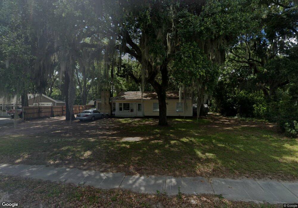
85 Sams Point Rd Beaufort, SC 29907
Estimated Value: $290,000 - $310,000
3
Beds
1
Bath
1,050
Sq Ft
$285/Sq Ft
Est. Value
About This Home
This home is located at 85 Sams Point Rd, Beaufort, SC 29907 and is currently estimated at $298,759, approximately $284 per square foot. 85 Sams Point Rd is a home located in Beaufort County with nearby schools including Lady's Island Elementary School, Lady's Island Middle School, and Beaufort High School.
Ownership History
Date
Name
Owned For
Owner Type
Purchase Details
Closed on
Oct 28, 2013
Sold by
Collins Duffy Casey
Bought by
R200-300 Island Properties Llc
Current Estimated Value
Purchase Details
Closed on
Jan 22, 2013
Sold by
Wildenthaler Elizabeth
Bought by
Collins Duffy Casey
Purchase Details
Closed on
May 4, 2012
Sold by
Estate Of Kelvin E Cherry and Wildenthaler James
Bought by
Wildenthaler Elizabeth
Purchase Details
Closed on
Mar 21, 2000
Sold by
Cherry William W
Bought by
Cherry Kelvin E
Create a Home Valuation Report for This Property
The Home Valuation Report is an in-depth analysis detailing your home's value as well as a comparison with similar homes in the area
Home Values in the Area
Average Home Value in this Area
Purchase History
| Date | Buyer | Sale Price | Title Company |
|---|---|---|---|
| R200-300 Island Properties Llc | -- | -- | |
| Collins Duffy Casey | $40,000 | -- | |
| Wildenthaler Elizabeth | -- | -- | |
| Cherry Kelvin E | -- | -- |
Source: Public Records
Tax History Compared to Growth
Tax History
| Year | Tax Paid | Tax Assessment Tax Assessment Total Assessment is a certain percentage of the fair market value that is determined by local assessors to be the total taxable value of land and additions on the property. | Land | Improvement |
|---|---|---|---|---|
| 2024 | $2,846 | $10,550 | $0 | $0 |
| 2023 | $2,846 | $10,550 | $0 | $0 |
| 2022 | $2,616 | $9,170 | $0 | $0 |
| 2021 | $2,537 | $9,170 | $0 | $0 |
| 2020 | $2,453 | $9,170 | $0 | $0 |
| 2019 | $2,421 | $9,170 | $0 | $0 |
| 2018 | $2,291 | $9,170 | $0 | $0 |
| 2017 | $2,084 | $7,990 | $0 | $0 |
| 2016 | $2,041 | $7,990 | $0 | $0 |
| 2014 | $383 | $7,990 | $0 | $0 |
Source: Public Records
Map
Nearby Homes
- 25 Miller Dr W
- 4245 Sage Dr
- 62 Sunset Blvd
- 4215 Sage Dr
- 3 Basin Trail St
- 7 Basin Trail St
- 3635 Oyster Bluff Dr
- 11 Shiloh Ct
- 17 Basin Trail St
- 15 Shiloh Ct
- 5 Basin Trail St
- Tybee Plan at Camellia Banks - Sea Island Collective
- Bay Point Plan at Camellia Banks - Sea Island Collective
- Sapelo Plan at Camellia Banks - Sea Island Collective
- Bay Point Plan at Marshes at Lady's Island - Sea Island Collective
- Tybee Plan at Marshes at Lady's Island - Sea Island Collective
- Sapelo Plan at Marshes at Lady's Island - Sea Island Collective
- 21 Basin Trail St
- 16 Basin Trail St
- 3665 Oyster Bluff Dr
- 83 Sams Point Rd
- 91 Sams Point Rd
- 81 Sams Point Rd
- 26 Ashley Dr
- 24 Ashley Dr
- 22 Ashley Dr
- 28 Ashley Dr
- 90 Sams Point Rd
- 93 Sams Point Rd
- 79 Sams Point Rd
- 89 Sams Point Rd
- 82 Sams Point Rd
- 30 Ashley Dr
- 92 Sams Point Rd
- 20 Ashley Dr
- 78 Sams Point Rd
- 95 Sams Point Rd
- 77 Sams Point Rd
- 94 Sams Point Rd
- 25 Ashley Dr