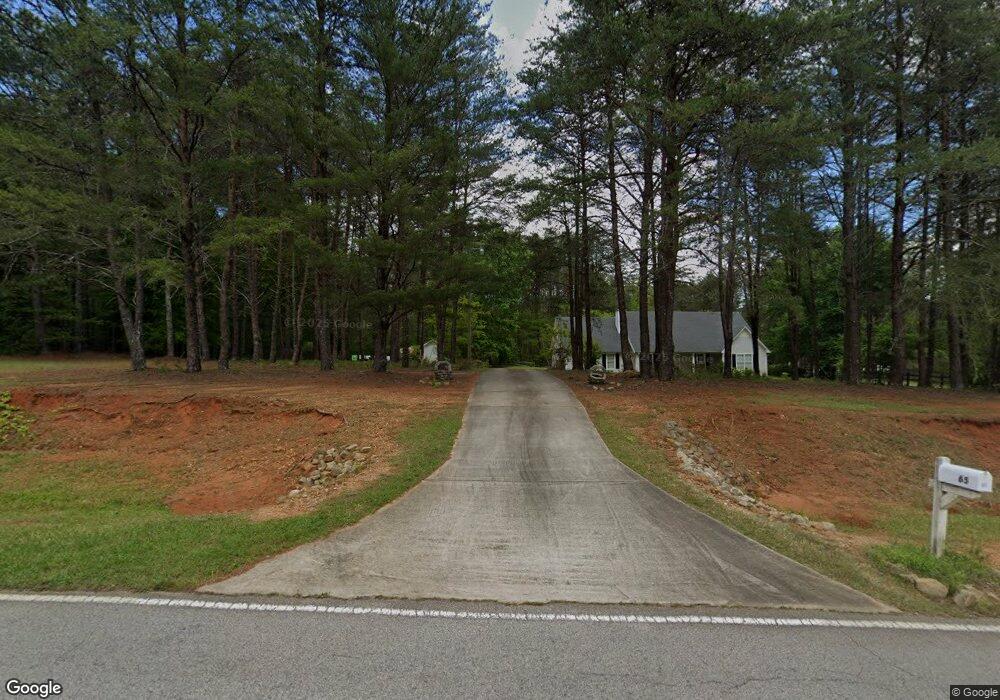
85 Stone Rd McDonough, GA 30253
Estimated Value: $373,644 - $449,000
3
Beds
2
Baths
2,155
Sq Ft
$192/Sq Ft
Est. Value
About This Home
This home is located at 85 Stone Rd, McDonough, GA 30253 and is currently estimated at $413,911, approximately $192 per square foot. 85 Stone Rd is a home located in Henry County with nearby schools including Mount Carmel Elementary School, Hampton Middle School, and Hampton High School.
Ownership History
Date
Name
Owned For
Owner Type
Purchase Details
Closed on
Jul 19, 2004
Sold by
Peruski Raymond and Peruski Sharon
Bought by
Tallman Harry and Tallman Patty
Current Estimated Value
Home Financials for this Owner
Home Financials are based on the most recent Mortgage that was taken out on this home.
Original Mortgage
$208,000
Outstanding Balance
$103,709
Interest Rate
6.19%
Mortgage Type
New Conventional
Estimated Equity
$310,202
Create a Home Valuation Report for This Property
The Home Valuation Report is an in-depth analysis detailing your home's value as well as a comparison with similar homes in the area
Home Values in the Area
Average Home Value in this Area
Purchase History
| Date | Buyer | Sale Price | Title Company |
|---|---|---|---|
| Tallman Harry | $273,000 | -- |
Source: Public Records
Mortgage History
| Date | Status | Borrower | Loan Amount |
|---|---|---|---|
| Open | Tallman Harry | $208,000 |
Source: Public Records
Tax History Compared to Growth
Tax History
| Year | Tax Paid | Tax Assessment Tax Assessment Total Assessment is a certain percentage of the fair market value that is determined by local assessors to be the total taxable value of land and additions on the property. | Land | Improvement |
|---|---|---|---|---|
| 2025 | $4,675 | $180,760 | $16,560 | $164,200 |
| 2024 | $4,675 | $171,080 | $14,920 | $156,160 |
| 2023 | $4,539 | $174,400 | $14,400 | $160,000 |
| 2022 | $4,653 | $141,880 | $13,280 | $128,600 |
| 2021 | $4,184 | $123,840 | $11,400 | $112,440 |
| 2020 | $3,909 | $112,480 | $10,720 | $101,760 |
| 2019 | $3,665 | $103,560 | $10,160 | $93,400 |
| 2018 | $3,774 | $104,640 | $9,400 | $95,240 |
| 2016 | $3,361 | $93,640 | $7,560 | $86,080 |
| 2015 | $3,178 | $86,640 | $8,480 | $78,160 |
| 2014 | $2,753 | $74,160 | $8,480 | $65,680 |
Source: Public Records
Map
Nearby Homes
- 272 Stone Rd
- 1719 Highway 81 W
- 650 New Morn Dr
- 505 Stone Rd
- 125 Bridget Dr
- 112 Bridget Dr
- 276 Oakland Rd
- 1533 Rolling Meadows Dr
- 1248 Burlington Ct
- 1580 Blair Rd
- 461 Arbor Chase
- 490 Dorsey Rd
- 1441 Trellis Ct
- 1441 Trellis Ct Unit (LOT 7)
- 374 Williamsburg Cir
- 344 Williamsburg Cir Unit 1
- 2338 Braelin Loop
- 308 N Dorsey Rd
- 400 Savannah Place
- 1313 Jubilee Ln