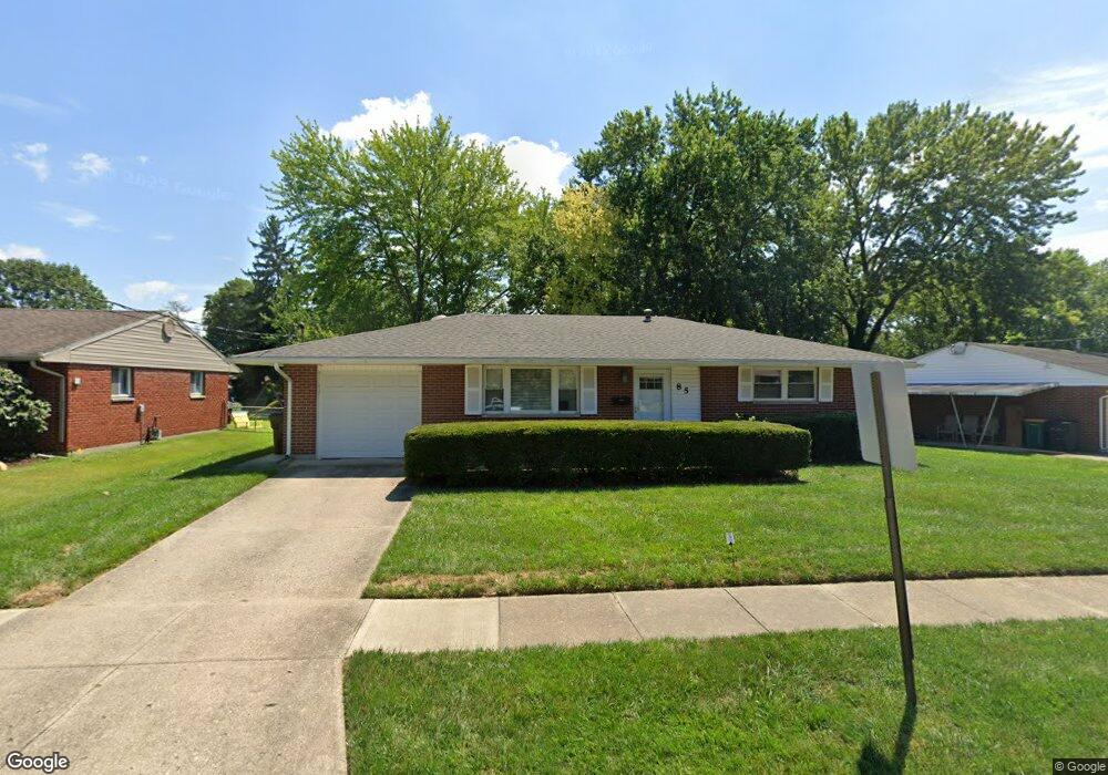
85 W State St Springboro, OH 45066
Estimated Value: $252,633 - $291,000
4
Beds
3
Baths
1,522
Sq Ft
$178/Sq Ft
Est. Value
About This Home
This home is located at 85 W State St, Springboro, OH 45066 and is currently estimated at $271,658, approximately $178 per square foot. 85 W State St is a home located in Warren County with nearby schools including Clearcreek Elementary School, Springboro Intermediate School, and Dennis Elementary School.
Ownership History
Date
Name
Owned For
Owner Type
Purchase Details
Closed on
Dec 5, 2024
Sold by
Sun George P and Sun Jacqueline
Bought by
Sun George P and Sun Jacqueline
Current Estimated Value
Purchase Details
Closed on
Jan 26, 1994
Sold by
Sun Jacqueline and Sun Jacqueline
Bought by
Sun and Sun George P
Purchase Details
Closed on
Jul 28, 1993
Sold by
Sun George and Sun Jacqueline
Bought by
Sun and Sun Jacqueline
Purchase Details
Closed on
Jun 9, 1986
Sold by
Gibbs Driskoll and Gibbs Margie
Bought by
Sun and Sun George
Create a Home Valuation Report for This Property
The Home Valuation Report is an in-depth analysis detailing your home's value as well as a comparison with similar homes in the area
Home Values in the Area
Average Home Value in this Area
Purchase History
| Date | Buyer | Sale Price | Title Company |
|---|---|---|---|
| Sun George P | -- | None Listed On Document | |
| Sun | -- | -- | |
| Sun | -- | -- | |
| Sun | $59,900 | -- |
Source: Public Records
Tax History
| Year | Tax Paid | Tax Assessment Tax Assessment Total Assessment is a certain percentage of the fair market value that is determined by local assessors to be the total taxable value of land and additions on the property. | Land | Improvement |
|---|---|---|---|---|
| 2025 | $2,127 | $64,260 | $17,500 | $46,760 |
| 2024 | $2,127 | $64,260 | $17,500 | $46,760 |
| 2023 | $1,854 | $52,290 | $10,762 | $41,527 |
| 2022 | $1,827 | $52,290 | $10,763 | $41,528 |
| 2021 | $1,700 | $52,290 | $10,763 | $41,528 |
| 2020 | $1,508 | $42,511 | $8,750 | $33,761 |
| 2019 | $1,390 | $42,511 | $8,750 | $33,761 |
| 2018 | $1,391 | $42,511 | $8,750 | $33,761 |
| 2017 | $1,379 | $38,903 | $8,134 | $30,769 |
| 2016 | $1,439 | $38,903 | $8,134 | $30,769 |
| 2015 | $1,465 | $38,903 | $8,134 | $30,769 |
| 2014 | $1,465 | $37,770 | $7,900 | $29,870 |
| 2013 | $1,464 | $41,850 | $8,750 | $33,100 |
Source: Public Records
Map
Nearby Homes
- 330 East St
- 84 W Mill St
- 10 Woods Rd
- 60 Rosewood Dr
- 80 Elkins Ln
- 50 Morris St
- 45 Morris St Unit 15
- 8 Glasgow St Unit 30
- 18 Glasgow St
- 65 Morris St Unit 17
- 45 Morris St
- 18 Glasgow St Unit 29
- 8 Glasgow St
- 30 Morris St
- 50 Morris St Unit 4
- 65 Morris St
- 765 Beckley Farm Way
- 490 W Market St
- 70 Eleanor Dr
- 210 Dan Haven Bend
Your Personal Tour Guide
Ask me questions while you tour the home.