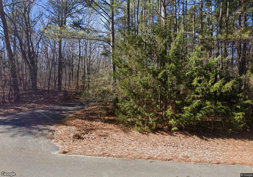
850 Brian Rd Clover, SC 29710
Estimated Value: $505,668 - $590,000
4
Beds
3
Baths
2,625
Sq Ft
$206/Sq Ft
Est. Value
About This Home
This home is located at 850 Brian Rd, Clover, SC 29710 and is currently estimated at $539,667, approximately $205 per square foot. 850 Brian Rd is a home located in York County with nearby schools including Bethany Elementary School, Clover Middle School, and Clover High School.
Ownership History
Date
Name
Owned For
Owner Type
Purchase Details
Closed on
Apr 4, 2024
Sold by
Coleman Keith Allen
Bought by
Coleman Caroline Sue
Current Estimated Value
Purchase Details
Closed on
Jul 17, 2015
Sold by
Trull Lowry
Bought by
Coleman Keith A and Coleman Caroline
Home Financials for this Owner
Home Financials are based on the most recent Mortgage that was taken out on this home.
Original Mortgage
$220,000
Interest Rate
3.25%
Mortgage Type
Adjustable Rate Mortgage/ARM
Create a Home Valuation Report for This Property
The Home Valuation Report is an in-depth analysis detailing your home's value as well as a comparison with similar homes in the area
Home Values in the Area
Average Home Value in this Area
Purchase History
| Date | Buyer | Sale Price | Title Company |
|---|---|---|---|
| Coleman Caroline Sue | -- | None Listed On Document | |
| Coleman Keith A | $275,000 | -- |
Source: Public Records
Mortgage History
| Date | Status | Borrower | Loan Amount |
|---|---|---|---|
| Previous Owner | Coleman Keith A | $220,000 |
Source: Public Records
Tax History
| Year | Tax Paid | Tax Assessment Tax Assessment Total Assessment is a certain percentage of the fair market value that is determined by local assessors to be the total taxable value of land and additions on the property. | Land | Improvement |
|---|---|---|---|---|
| 2025 | $1,201 | $11,567 | $3,023 | $8,544 |
| 2024 | $1,044 | $10,058 | $2,301 | $7,757 |
| 2023 | $1,073 | $10,058 | $2,301 | $7,757 |
| 2022 | $867 | $10,058 | $2,301 | $7,757 |
| 2021 | -- | $10,058 | $2,301 | $7,757 |
| 2020 | $853 | $10,058 | $0 | $0 |
| 2019 | $938 | $10,080 | $0 | $0 |
| 2018 | $947 | $10,080 | $0 | $0 |
| 2017 | $877 | $10,080 | $0 | $0 |
| 2016 | $1,073 | $10,080 | $0 | $0 |
| 2014 | $732 | $7,780 | $2,000 | $5,780 |
| 2013 | $732 | $8,540 | $2,000 | $6,540 |
Source: Public Records
Map
Nearby Homes
- 2180 Lawrence Rd
- 348 Triple Ponds Ct Unit 21
- 332 Triple Ponds Ct Unit 22
- 616 Plowshare Way Unit 35
- 277 Triple Ponds Ct Unit 12
- 441 Edmunds Ln
- 5019 Star Magnolia Ct
- 2592 Moon Creek Ln Unit 22
- 6265 Sanders Landing Ln Unit 6
- Pinehurst with 3rd Floor Retreat Plan at Edmunds Farm
- Madison Plan at Edmunds Farm
- St. Andrews Plan at Edmunds Farm
- St. Andrews with 3rd Floor Retreat Plan at Edmunds Farm
- Augusta Plan at Edmunds Farm
- Muirfield Plan at Edmunds Farm
- Bethpage Plan at Edmunds Farm
- Pinehurst Plan at Edmunds Farm
- Plan 2628 at Lauren Pines
- Plan 3040 at Lauren Pines
- Plan 2307 at Lauren Pines
Your Personal Tour Guide
Ask me questions while you tour the home.
