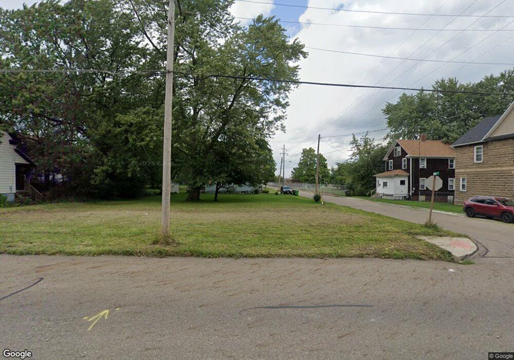
850 E Summit St Alliance, OH 44601
Estimated Value: $82,000 - $159,000
Studio
1
Bath
--
Sq Ft
2,788
Sq Ft Lot
About This Home
This home is located at 850 E Summit St, Alliance, OH 44601 and is currently estimated at $118,225. 850 E Summit St is a home located in Stark County with nearby schools including Alliance Intermediate School at Northside, Alliance Elementary School at Rockhill, and Alliance Middle School.
Ownership History
Date
Name
Owned For
Owner Type
Purchase Details
Closed on
Aug 30, 2004
Sold by
Regal Investments Llc
Bought by
Riley Helen M
Current Estimated Value
Purchase Details
Closed on
Aug 17, 2004
Sold by
Riley Helen
Bought by
Stillwater Asset Backed Fund Lp
Purchase Details
Closed on
Aug 9, 2004
Sold by
Gray Mary Jo
Bought by
American Homebuyers Inc
Purchase Details
Closed on
Aug 6, 2004
Sold by
American Homebuyers Inc
Bought by
Regal Investments Llc
Purchase Details
Closed on
Oct 8, 1991
Create a Home Valuation Report for This Property
The Home Valuation Report is an in-depth analysis detailing your home's value as well as a comparison with similar homes in the area
Home Values in the Area
Average Home Value in this Area
Purchase History
| Date | Buyer | Sale Price | Title Company |
|---|---|---|---|
| Riley Helen M | $45,500 | -- | |
| Stillwater Asset Backed Fund Lp | -- | -- | |
| American Homebuyers Inc | $10,000 | -- | |
| Regal Investments Llc | $14,000 | -- | |
| American Homebuyers Inc | $10,000 | -- | |
| -- | -- | -- |
Source: Public Records
Tax History
| Year | Tax Paid | Tax Assessment Tax Assessment Total Assessment is a certain percentage of the fair market value that is determined by local assessors to be the total taxable value of land and additions on the property. | Land | Improvement |
|---|---|---|---|---|
| 2025 | $16,606 | $1,020 | $1,020 | -- |
| 2024 | $15,322 | $1,020 | $1,020 | -- |
| 2023 | $14,923 | $1,020 | $1,020 | -- |
| 2022 | $392 | $1,020 | $1,020 | $0 |
| 2021 | $392 | $1,020 | $1,020 | $0 |
| 2020 | $690 | $910 | $910 | $0 |
| 2019 | $1,440 | $910 | $910 | $0 |
| 2018 | $690 | $910 | $910 | $0 |
| 2017 | $7,989 | $740 | $740 | $0 |
| 2016 | $7,587 | $740 | $740 | $0 |
| 2015 | $35 | $740 | $740 | $0 |
| 2014 | $727 | $560 | $560 | $0 |
| 2013 | $13 | $560 | $560 | $0 |
Source: Public Records
Map
Nearby Homes
- 955 E Summit St
- 935 S Morgan Ave
- 442 S Liberty Ave
- 452 E Summit St
- V/L S Freedom Ave
- 726 S Arch Ave
- 234 Rosenberry St
- 231 Rosenberry St
- 226 Milner St
- 1350 S Freedom Ave
- 847 E Patterson St
- 361 E Main St
- 167 11th St
- 134 11th St
- 1522 Wade Ave
- 46 Rosenberry St
- 834 Devine St
- 807 S Union Ave
- 427 S Union Ave
- 1226 Noble St
- 838 E Summit St
- 828 E Summit St
- 904 E Summit St
- 674 S Morgan Ave
- 667 S Morgan Ave
- 855 E Summit St
- 914 E Summit St
- 845 E Summit St
- 820 E Summit St
- 820 E Summit St
- 922 E Summit St
- 835 E Summit St
- 903 E Summit St
- 647 S Morgan Ave
- 930 E Summit St
- 725 S Morgan Ave
- 804 E Summit St
- 728 S Morgan Ave
- 656 S Webb Ave
- 648 S Webb Ave
Your Personal Tour Guide
Ask me questions while you tour the home.