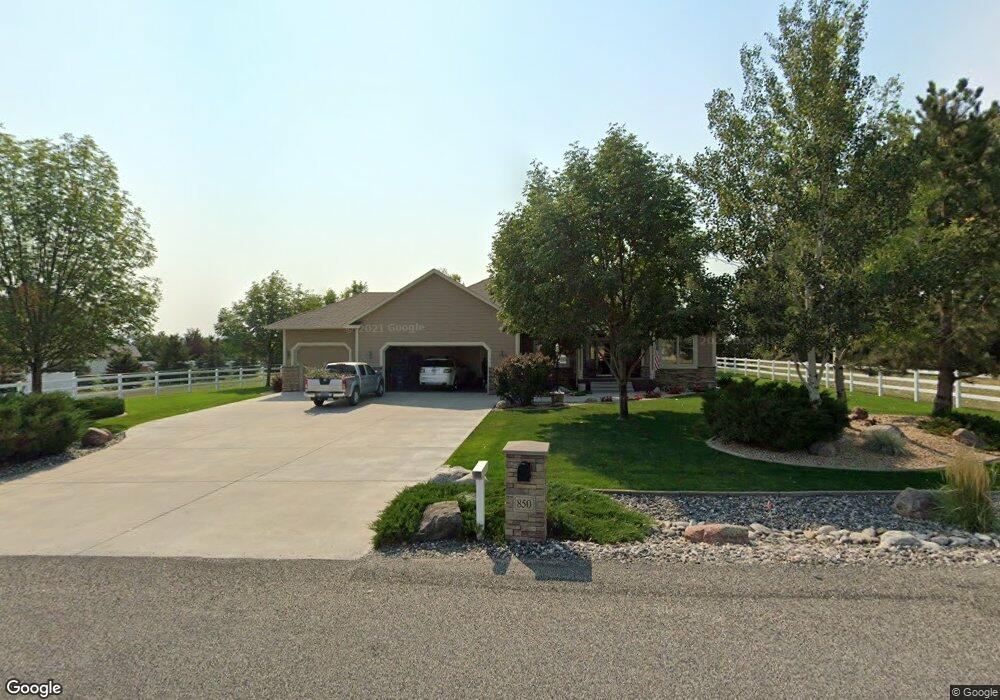
850 Longview Rd Laurel, MT 59044
Estimated Value: $668,000 - $768,000
3
Beds
3
Baths
4,490
Sq Ft
$157/Sq Ft
Est. Value
About This Home
This home is located at 850 Longview Rd, Laurel, MT 59044 and is currently estimated at $706,040, approximately $157 per square foot. 850 Longview Rd is a home located in Yellowstone County with nearby schools including Fred W. Graff School, West School, and Laurel Middle School.
Ownership History
Date
Name
Owned For
Owner Type
Purchase Details
Closed on
Nov 21, 2022
Sold by
Hann Keith R
Bought by
Preeshl Nolan
Current Estimated Value
Home Financials for this Owner
Home Financials are based on the most recent Mortgage that was taken out on this home.
Original Mortgage
$255,200
Outstanding Balance
$247,272
Interest Rate
6.94%
Mortgage Type
New Conventional
Estimated Equity
$458,768
Purchase Details
Closed on
Jun 9, 2006
Sold by
Foos Clarence A and Foos Naomi
Bought by
Hann Keith R and Hann Karen L
Create a Home Valuation Report for This Property
The Home Valuation Report is an in-depth analysis detailing your home's value as well as a comparison with similar homes in the area
Home Values in the Area
Average Home Value in this Area
Purchase History
| Date | Buyer | Sale Price | Title Company |
|---|---|---|---|
| Preeshl Nolan | -- | Stewart Title | |
| Hann Keith R | -- | None Available |
Source: Public Records
Mortgage History
| Date | Status | Borrower | Loan Amount |
|---|---|---|---|
| Open | Preeshl Nolan | $255,200 |
Source: Public Records
Tax History
| Year | Tax Paid | Tax Assessment Tax Assessment Total Assessment is a certain percentage of the fair market value that is determined by local assessors to be the total taxable value of land and additions on the property. | Land | Improvement |
|---|---|---|---|---|
| 2025 | $3,808 | $661,800 | $124,289 | $537,511 |
| 2024 | $3,808 | $546,700 | $87,775 | $458,925 |
| 2023 | $3,807 | $546,700 | $87,775 | $458,925 |
| 2022 | $2,993 | $463,700 | $0 | $0 |
| 2021 | $3,303 | $463,700 | $0 | $0 |
| 2020 | $3,390 | $459,900 | $0 | $0 |
| 2019 | $3,266 | $459,900 | $0 | $0 |
| 2018 | $3,551 | $433,800 | $0 | $0 |
| 2017 | $3,244 | $433,800 | $0 | $0 |
| 2016 | $3,130 | $424,600 | $0 | $0 |
| 2015 | $3,168 | $437,400 | $0 | $0 |
| 2014 | $2,614 | $190,641 | $0 | $0 |
Source: Public Records
Map
Nearby Homes
- 1031 Fir Ave
- 1319 Valley Dr
- 1104 E 8th St
- 1108 E 8th St
- 1631 Valley Dr
- 605 Date Ave
- 717 E 5th, 506 Alder Ave
- 717 E 5th St
- 601 E 5th St
- 516 Pennsylvania Ave
- 801 E 4th St
- 414 Wyoming Ave
- 110 E 5th St
- 1254 W Beartooth Dr
- 1216 W 12th Street Cir
- 603 5th Ave
- 1665 Wild Lupine Ln
- 1109 10th Ave
- 1735 Lobo Dr
- 1013 W 12th St
- 750 Longview Rd
- 900 Longview Rd
- 1415 Alder Ave
- 895 Longview Rd
- 1301 Alder Ave
- 950 Longview Rd
- 0 Green Bluff Ave
- 1445 Alder Ave
- 1000 Longview Rd
- 1405 Green Bluff Ave
- 1440 Green Bluff Ave
- 650 Longview Rd
- 1460 Green Bluff Ave
- 1465 Alder Ave
- 980 Rockfork Cir
- 1455 Green Bluff Ave
- 975 Rockfork Cir
- 1000 Rockfork Cir
- 1115 Longview Rd
- 0 Rockfork Cir
Your Personal Tour Guide
Ask me questions while you tour the home.