850 Lower Myrick Rd Laurel, MS 39443
Estimated Value: $344,000
Studio
--
Bath
240
Sq Ft
$1,433/Sq Ft
Est. Value
About This Home
This home is located at 850 Lower Myrick Rd, Laurel, MS 39443 and is currently estimated at $344,000, approximately $1,433 per square foot. 850 Lower Myrick Rd is a home located in Jones County with nearby schools including East Jones Elementary School.
Ownership History
Date
Name
Owned For
Owner Type
Purchase Details
Closed on
Nov 3, 2017
Sold by
Sasser Theresa D
Bought by
Sasser Denward L and Estate Of Denward L Sasser
Current Estimated Value
Purchase Details
Closed on
Nov 23, 2009
Sold by
Sasser Samuel Kody
Bought by
Sasser Denward L
Purchase Details
Closed on
Dec 17, 2007
Sold by
Sasser Denward L
Bought by
Sasser Samuel Kody and Sasser Denward Levi
Purchase Details
Closed on
Nov 16, 2007
Sold by
Sasser Denward L and Sasser Theresa D
Bought by
Sasser Denward L
Purchase Details
Closed on
Jul 20, 2007
Sold by
Sasser Denward L and Sasser Theresa D
Bought by
Sasser Denward L and Sasser Theresa D
Create a Home Valuation Report for This Property
The Home Valuation Report is an in-depth analysis detailing your home's value as well as a comparison with similar homes in the area
Purchase History
| Date | Buyer | Sale Price | Title Company |
|---|---|---|---|
| Sasser Denward L | -- | -- | |
| Sasser Denward L | -- | -- | |
| Sasser Samuel Kody | -- | -- | |
| Sasser Denward L | -- | -- | |
| Sasser Denward L | -- | -- |
Source: Public Records
Tax History
| Year | Tax Paid | Tax Assessment Tax Assessment Total Assessment is a certain percentage of the fair market value that is determined by local assessors to be the total taxable value of land and additions on the property. | Land | Improvement |
|---|---|---|---|---|
| 2025 | $140 | $1,163 | $0 | $0 |
| 2024 | $174 | $1,375 | $0 | $0 |
| 2023 | $174 | $1,375 | $0 | $0 |
| 2022 | $178 | $1,376 | $0 | $0 |
| 2021 | $179 | $1,376 | $0 | $0 |
| 2020 | $325 | $2,461 | $0 | $0 |
| 2019 | $333 | $2,507 | $0 | $0 |
| 2018 | $333 | $2,507 | $0 | $0 |
| 2017 | $223 | $1,682 | $0 | $0 |
| 2016 | $2,134 | $16,466 | $0 | $0 |
| 2015 | $495 | $11,505 | $0 | $0 |
| 2014 | $495 | $11,498 | $0 | $0 |
Source: Public Records
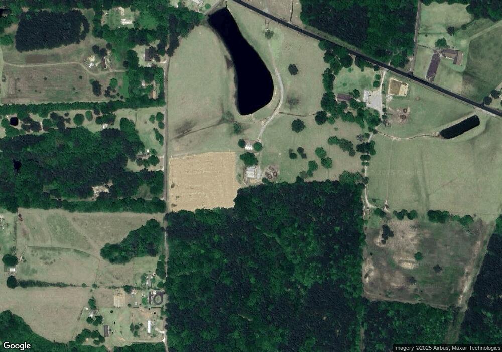
Map
Nearby Homes
- 310 Antioch Dr
- 582 Antioch Dr
- 0 Pine Dr
- 215 Church Dr
- 73 Pine Dr
- 198 Township Rd
- 0 Walt Culpepper Rd
- 71 Bush Rd
- 11 Kennon Ave
- 35 Theo's Rd
- 1416 Highway 15 S
- 10 Shadow Ridge Dr
- 302 Freedom Rd
- 37 John Guy Rd
- 0 Lower Myrick Rd
- 16 Shadow Ridge Dr
- 17 Shadow Ridge Dr
- 8 Shadow Ridge Dr
- 19 Shadow Ridge Dr
- 22 Shadow Ridge Dr
- 00 Sasser Rd
- 0 Sasser Rd
- 139 Sasser Rd
- 149 Sasser Rd
- 881 Lower Myrick Rd
- 165 Sasser Rd
- 810 Lower Myrick Rd
- 1148 Church Dr
- 829 Lower Myrick Rd
- 75 Sasser Rd
- 818 Lower Myrick Rd
- 825 Lower Myrick Rd
- 26 Church Dr
- 61 Sasser Rd
- 6 White House Rd
- 53 Sasser Rd
- 50 Sasser Rd
- 37 Sasser Rd
- 352 Antioch Dr
- 52 Moores Cir
Your Personal Tour Guide
Ask me questions while you tour the home.