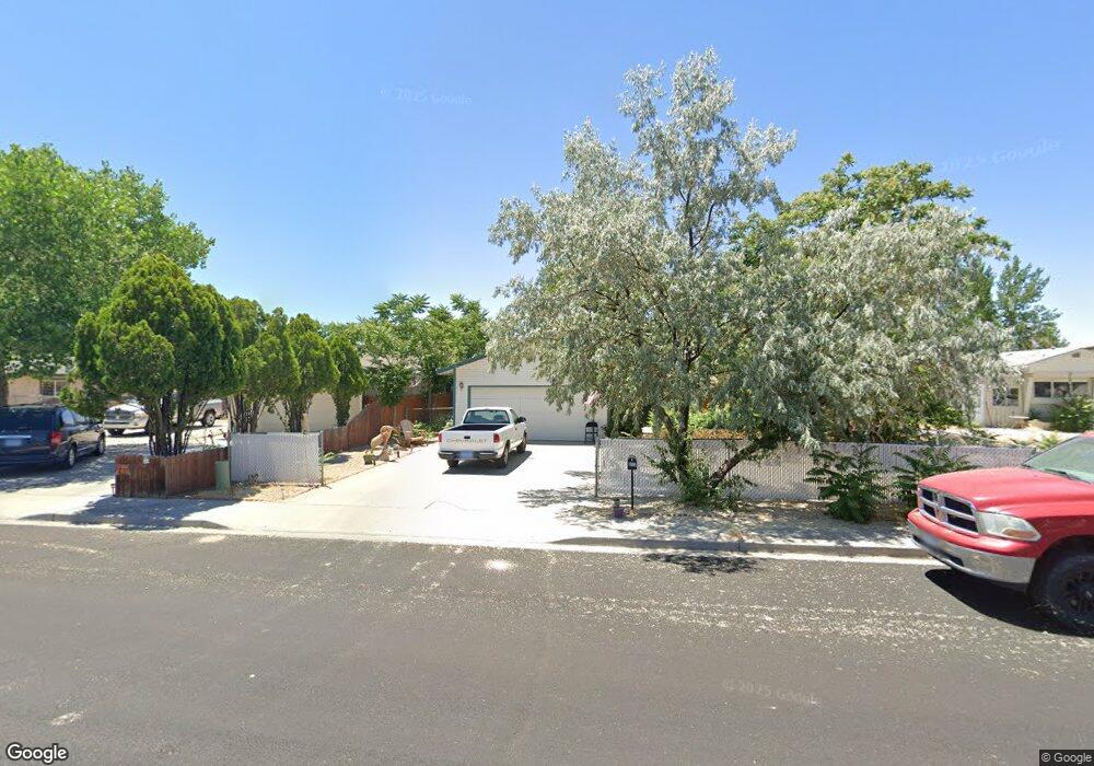
850 Stains Rd Fallon, NV 89406
Estimated Value: $331,747 - $352,000
3
Beds
2
Baths
1,414
Sq Ft
$241/Sq Ft
Est. Value
About This Home
This home is located at 850 Stains Rd, Fallon, NV 89406 and is currently estimated at $341,437, approximately $241 per square foot. 850 Stains Rd is a home located in Churchill County with nearby schools including Lahontan Elementary School, E.C. Best Elementary School, and Numa Elementary School.
Ownership History
Date
Name
Owned For
Owner Type
Purchase Details
Closed on
Sep 18, 2023
Sold by
Tracey Jeffrey E
Bought by
Tracey Jeffrey E and Nat'L Alliance On Mental Illne
Current Estimated Value
Purchase Details
Closed on
Mar 2, 2023
Sold by
Tracey Jeffrey E
Bought by
Tracey Jeffrey E and Tracey Laura
Purchase Details
Closed on
Feb 14, 2023
Sold by
Cleland Tracey Patricia Diane
Bought by
Tracey Jeffrey E and Tracey Laura
Purchase Details
Closed on
Jan 28, 2009
Sold by
Tracey Gregory P
Bought by
Tracey Patricia Cleland
Create a Home Valuation Report for This Property
The Home Valuation Report is an in-depth analysis detailing your home's value as well as a comparison with similar homes in the area
Home Values in the Area
Average Home Value in this Area
Purchase History
| Date | Buyer | Sale Price | Title Company |
|---|---|---|---|
| Tracey Jeffrey E | -- | None Listed On Document | |
| Tracey Jeffrey E | -- | None Listed On Document | |
| Tracey Jeffrey E | -- | -- | |
| Tracey Patricia Cleland | -- | None Available |
Source: Public Records
Tax History Compared to Growth
Tax History
| Year | Tax Paid | Tax Assessment Tax Assessment Total Assessment is a certain percentage of the fair market value that is determined by local assessors to be the total taxable value of land and additions on the property. | Land | Improvement |
|---|---|---|---|---|
| 2025 | $2,246 | $60,169 | $13,650 | $46,519 |
| 2024 | $2,246 | $60,062 | $12,950 | $47,112 |
| 2023 | $2,246 | $56,563 | $12,250 | $44,313 |
| 2022 | $2,064 | $46,551 | $8,050 | $38,501 |
| 2021 | $2,016 | $45,488 | $8,050 | $37,438 |
| 2020 | $1,968 | $46,382 | $8,050 | $38,332 |
| 2019 | $1,824 | $45,545 | $8,050 | $37,495 |
| 2018 | $1,771 | $44,759 | $8,050 | $36,709 |
| 2017 | $1,728 | $43,295 | $6,475 | $36,820 |
| 2016 | $1,693 | $40,288 | $6,475 | $33,813 |
| 2015 | $1,667 | $36,555 | $6,475 | $30,080 |
| 2014 | $1,634 | $34,463 | $7,000 | $27,463 |
Source: Public Records
Map
Nearby Homes
- 870 Sunset Dr
- 620 Sunset Dr
- 575 Babb Place
- 540 Anthony Ln
- 435 Cindy Ln
- 1049 Deena Way
- 521 Whitaker Ln
- 1021 Whitaker Ln
- 445 S Allen St
- 485 S Russell St
- 1955 Manchester Cir
- 360 & 360 1/2 W Virginia St
- 355 W Stillwater Ave
- 250 S Taylor St
- 1091 Tiffany Dr
- 549 Lincoln St
- 1.55 Acres on S Maine St
- 627 S Maine St
- 468 S Maine St
- 327 Burntwood St
- 860 Stains Rd
- 840 Stains Rd
- 870 Stains Rd
- 820 Stains Rd
- 825 Babb Place
- 880 Stains Rd Unit 1
- 880 Stains Rd
- 851 Babb Place
- 860 Sunset Dr Unit 3B
- 880 Sunset Dr Unit 1
- 880 Sunset Dr
- 855 Stains Rd
- 845 Stains Rd
- 865 Stains Rd
- 835 Stains Rd
- 850 Sunset Dr
- 875 Stains Rd
- 890 Sunset Dr
- 825 Stains Rd
- 881 Babb Place