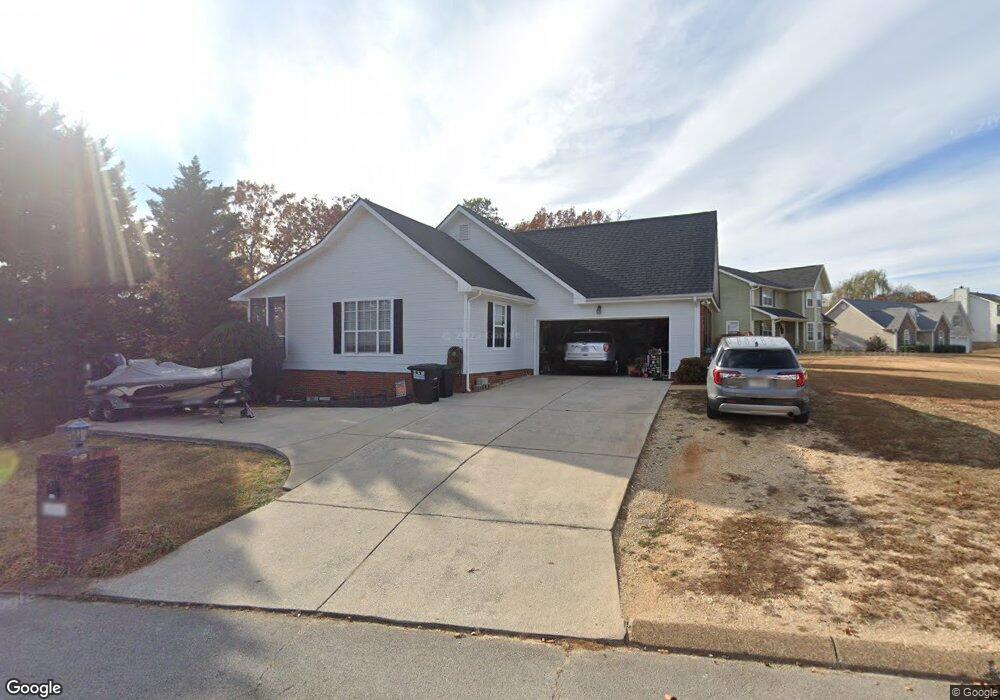
8501 Shady Stream Ln Harrison, TN 37341
Harrison Bay NeighborhoodEstimated Value: $379,137 - $441,000
About This Home
This home is located at 8501 Shady Stream Ln, Harrison, TN 37341 and is currently estimated at $404,534, approximately $222 per square foot. 8501 Shady Stream Ln is a home located in Hamilton County with nearby schools including Snow Hill Elementary School, Brown Middle School, and Central High School.
Ownership History
We collect this data history from publicly available records. To have your information removed, we recommend requesting removal directly through your county’s website.
Purchase Details
Purchase Details
Home Financials for this Owner
Home Financials are based on the most recent Mortgage that was taken out on this home.Purchase Details
Home Financials for this Owner
Home Financials are based on the most recent Mortgage that was taken out on this home.Home Values in the Area
Average Home Value in this Area
Purchase History
We collect this data history from publicly available records. To have your information removed, we recommend requesting removal directly through your county’s website.
| Date | Buyer | Sale Price | Title Company |
|---|---|---|---|
| -- | Pioneer Title Agency Inc | ||
| -- | Pioneer Title Agency Inc | ||
| $128,750 | -- | ||
| $125,000 | -- |
Mortgage History
We collect this data history from publicly available records. To have your information removed, we recommend requesting removal directly through your county’s website.
| Date | Status | Borrower | Loan Amount |
|---|---|---|---|
| Previous Owner | $115,850 | ||
| Previous Owner | $118,750 |
Tax History
We collect this data history from publicly available records. To have your information removed, we recommend requesting removal directly through your county’s website.
| Year | Tax Paid | Tax Assessment Tax Assessment Total Assessment is a certain percentage of the fair market value that is determined by local assessors to be the total taxable value of land and additions on the property. | Land | Improvement |
|---|---|---|---|---|
| 2025 | $1,461 | $96,375 | $0 | $0 |
| 2024 | $1,448 | $64,700 | $0 | $0 |
| 2023 | $1,457 | $64,700 | $0 | $0 |
| 2022 | $1,457 | $64,700 | $0 | $0 |
| 2021 | $1,457 | $64,700 | $0 | $0 |
| 2020 | $1,328 | $47,700 | $0 | $0 |
| 2019 | $1,328 | $47,700 | $0 | $0 |
| 2018 | $1,328 | $47,700 | $0 | $0 |
| 2017 | $1,328 | $47,700 | $0 | $0 |
| 2016 | $1,292 | $0 | $0 | $0 |
| 2015 | $1,292 | $46,400 | $0 | $0 |
| 2014 | $1,292 | $0 | $0 | $0 |
Map
- 6546 Olde Ferry Landing
- 6528 Olde Ferry Landing
- 6601 Woody Cove Ln
- 8514 River Cove Dr
- 8498 Shawn Ridge Rd
- 8818 Lazy River Dr
- 6410 Shirley Pond Rd
- 6603 Lively Ln
- 6413 Shirley Pond Rd
- 6409 Shirley Pond Rd
- 6925 Ramseytown Rd
- 6616 Ramsey Rd
- 7815 Lasata Ct Unit 3
- 8141 Lakewinds Dr
- 6041 Shirley Pond Rd
- 7048 Pinebrook Dr
- 7729 Lasata Ln
- 6019 Shirley Pond Rd
- 8706 Wooded Vale Ct
- 6218 Hidden Hill Rd
- 6520 Rolling River Rd
- 6520 Rolling Riverroad
- 8505 Shady Stream Ln
- 6532 Rolling River Rd
- 8500 Shady Stream Ln
- 6524 Rolling River Rd
- 8507 Shady Stream Ln
- 6519 Rolling River Rd
- 6519 Rolling River Rd Unit 3
- 8506 Shady Stream Ln
- 6523 Rolling River Rd
- 6513 Rolling River Rd
- 8420 Forest Breeze Dr
- 8410 Forest Breeze Dr
- 6526 Rolling River Rd
- 6508 Rolling River Rd
- 0 Rolling River Rd
- 8511 Shady Stream Ln
- 8430 Forest Breeze Dr
- 6525 Rolling River Rd
Ask me questions while you tour the home.