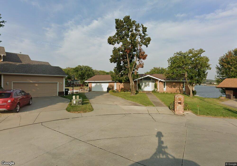
8502 Makaha Cir Papillion, NE 68046
Estimated Value: $587,000 - $654,000
5
Beds
5
Baths
3,090
Sq Ft
$203/Sq Ft
Est. Value
About This Home
This home is located at 8502 Makaha Cir, Papillion, NE 68046 and is currently estimated at $627,559, approximately $203 per square foot. 8502 Makaha Cir is a home located in Sarpy County with nearby schools including Platteview Central Junior High School and Platteview Senior High School.
Ownership History
Date
Name
Owned For
Owner Type
Purchase Details
Closed on
May 17, 2023
Sold by
Geschke Bernard R and Geschke Gladys L
Bought by
Bernard R Geschke And Gladys L Geschke Living
Current Estimated Value
Create a Home Valuation Report for This Property
The Home Valuation Report is an in-depth analysis detailing your home's value as well as a comparison with similar homes in the area
Home Values in the Area
Average Home Value in this Area
Purchase History
| Date | Buyer | Sale Price | Title Company |
|---|---|---|---|
| Bernard R Geschke And Gladys L Geschke Living | -- | None Listed On Document |
Source: Public Records
Tax History Compared to Growth
Tax History
| Year | Tax Paid | Tax Assessment Tax Assessment Total Assessment is a certain percentage of the fair market value that is determined by local assessors to be the total taxable value of land and additions on the property. | Land | Improvement |
|---|---|---|---|---|
| 2025 | $7,816 | $572,720 | $190,000 | $382,720 |
| 2024 | $8,915 | $546,380 | $187,000 | $359,380 |
| 2023 | $8,915 | $496,617 | $187,000 | $309,617 |
| 2022 | $8,546 | $448,783 | $135,000 | $313,783 |
| 2021 | $9,062 | $438,722 | $135,000 | $303,722 |
| 2020 | $8,201 | $378,536 | $111,000 | $267,536 |
| 2019 | $8,264 | $381,895 | $111,000 | $270,895 |
| 2018 | $8,223 | $373,944 | $111,000 | $262,944 |
| 2017 | $7,748 | $348,968 | $111,000 | $237,968 |
| 2016 | $7,503 | $333,880 | $111,000 | $222,880 |
| 2015 | $7,448 | $330,623 | $105,000 | $225,623 |
| 2014 | $7,378 | $326,139 | $105,000 | $221,139 |
| 2012 | -- | $326,346 | $105,000 | $221,346 |
Source: Public Records
Map
Nearby Homes
- 8612 Makaha Cir
- 8609 Molokai Dr
- 7912 Kona Cir
- 15560 S 79th Cir
- 19980 White Tail Ln
- 19910 White Tail Ln
- 8700 Raven Dr
- 19577 Pheasant Ln
- 6733 Platteview Rd
- TBD - 15600 S 63rd St
- 111 acres Platteview Rd
- 6711 Platteview Rd
- 12715 S 79th St
- 12704 S 79th St
- 7610 S 66th St
- 12620 S 78th Ave
- 12616 S 78th Ave
- Lot 19 Monrovia Estates
- Lot 50 Villages of Monrovia
- Lot 46 Villages of Monrovia
- 8506 Makaha Cir
- 8501 Makaha Cir
- 8505 Makaha Cir
- 8510 Makaha Cir
- 8509 Makaha Cir
- 8514 Makaha Cir
- 8417 Molokai Dr
- 8505 Molokai Dr
- 8507 Molokai Dr
- 8513 Makaha Cir
- 8413 Molokai Dr
- 8511 Molokai Dr
- 8515 Molokai Dr
- 8604 Makaha Cir
- 8409 Molokai Dr
- 8603 Makaha Cir
- 8519 Molokai Dr
- 8508 Oahu Cir
- 8601 Molokai Dr
- 8418 Molokai Dr