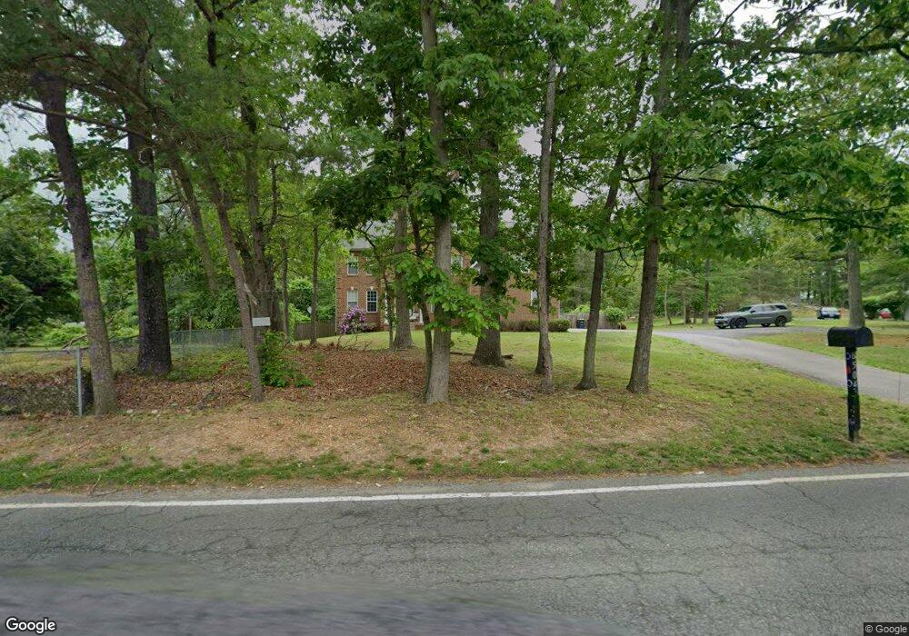
8504 Dangerfield Rd Clinton, MD 20735
Estimated Value: $559,000 - $756,000
--
Bed
5
Baths
3,626
Sq Ft
$184/Sq Ft
Est. Value
About This Home
This home is located at 8504 Dangerfield Rd, Clinton, MD 20735 and is currently estimated at $667,578, approximately $184 per square foot. 8504 Dangerfield Rd is a home located in Prince George's County with nearby schools including Melwood Elementary School, James Madison Middle School, and Frederick Douglass High School.
Ownership History
Date
Name
Owned For
Owner Type
Purchase Details
Closed on
Jul 28, 2005
Sold by
Lawson Timothy
Bought by
Dixon Troy L
Current Estimated Value
Home Financials for this Owner
Home Financials are based on the most recent Mortgage that was taken out on this home.
Original Mortgage
$315,000
Interest Rate
5.75%
Mortgage Type
New Conventional
Purchase Details
Closed on
Aug 5, 2004
Sold by
Taylor Jacqueline D
Bought by
Lawson Timothy
Purchase Details
Closed on
Oct 30, 2000
Sold by
Weller Warren C
Bought by
Taylor Jacqueline D
Create a Home Valuation Report for This Property
The Home Valuation Report is an in-depth analysis detailing your home's value as well as a comparison with similar homes in the area
Home Values in the Area
Average Home Value in this Area
Purchase History
| Date | Buyer | Sale Price | Title Company |
|---|---|---|---|
| Dixon Troy L | $125,000 | -- | |
| Lawson Timothy | $50,000 | -- | |
| Taylor Jacqueline D | -- | -- |
Source: Public Records
Mortgage History
| Date | Status | Borrower | Loan Amount |
|---|---|---|---|
| Closed | Lawson Timothy | $315,000 |
Source: Public Records
Tax History Compared to Growth
Tax History
| Year | Tax Paid | Tax Assessment Tax Assessment Total Assessment is a certain percentage of the fair market value that is determined by local assessors to be the total taxable value of land and additions on the property. | Land | Improvement |
|---|---|---|---|---|
| 2025 | $8,248 | $621,600 | $104,200 | $517,400 |
| 2024 | $8,248 | $607,033 | $0 | $0 |
| 2023 | $8,033 | $592,467 | $0 | $0 |
| 2022 | $7,736 | $577,900 | $104,200 | $473,700 |
| 2021 | $7,431 | $559,467 | $0 | $0 |
| 2020 | $7,298 | $541,033 | $0 | $0 |
| 2019 | $7,125 | $522,600 | $102,100 | $420,500 |
| 2018 | $6,825 | $485,900 | $0 | $0 |
| 2017 | $6,567 | $449,200 | $0 | $0 |
| 2016 | -- | $412,500 | $0 | $0 |
| 2015 | $5,775 | $401,433 | $0 | $0 |
| 2014 | $5,775 | $390,367 | $0 | $0 |
Source: Public Records
Map
Nearby Homes
- 0 Dangerfield Rd
- 8301 Cedarview Ct
- 8304 Cedarview Ct
- 8400 Cedar Chase Dr
- 8504 Woodyard Rd
- 8518 Cedar Chase Dr
- 9007 Oriley Dr
- 7804 New Ascot Ln
- 9008 Goldfield Place
- 10104 Dangerfield Rd
- 9414 Stream Valley Ln
- 9004 Eldon Dr
- 7333 Sheila Ln
- 0 Clinton Vista Ln
- 9104 Rama Ct
- 9401 Cheltenham Ave
- 7113 Branchwood Place
- 7127 Branchwood Place
- 9206 Rama Ct
- 9203 Foxcroft Ave
- 8510 Dangerfield Rd
- 8503 Deborah St
- 9010 Morrissett Ct
- 8501 Deborah St
- 8514 Dangerfield Rd Unit LOWER LEVEL
- 8601 Deborah St
- 8500 Dangerfield Rd
- 8600 Dangerfield Rd
- 8503 Dangerfield Rd
- 8605 Deborah St
- 8607 Deborah St
- 8507 Dangerfield Rd
- 9012 Morrissett Ct
- 8511 Dangerfield Rd
- 8602 Dangerfield Rd
- 8601 Dangerfield Rd
- 8609 Deborah St
- 8600 Deborah St
- 8409 Deborah St
- 8500 Deborah St