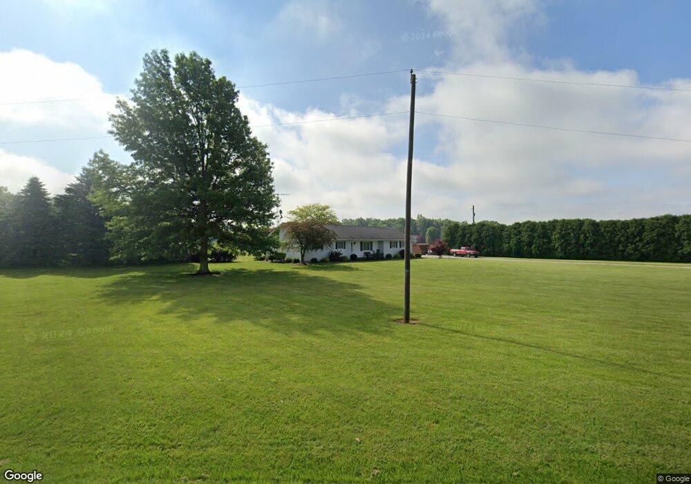
8505 State Highway 67 Upper Sandusky, OH 43351
Estimated Value: $271,000 - $299,000
3
Beds
2
Baths
1,352
Sq Ft
$212/Sq Ft
Est. Value
About This Home
This home is located at 8505 State Highway 67, Upper Sandusky, OH 43351 and is currently estimated at $286,115, approximately $211 per square foot. 8505 State Highway 67 is a home located in Wyandot County with nearby schools including Upper Sandusky High School and St. Peter Elementary School.
Ownership History
Date
Name
Owned For
Owner Type
Purchase Details
Closed on
Dec 5, 2023
Sold by
Neal Jeffrey H and Neal Steven M
Bought by
Snare William D and Snare Natasha L
Current Estimated Value
Home Financials for this Owner
Home Financials are based on the most recent Mortgage that was taken out on this home.
Original Mortgage
$284,747
Outstanding Balance
$280,022
Interest Rate
7.76%
Mortgage Type
FHA
Estimated Equity
$6,093
Create a Home Valuation Report for This Property
The Home Valuation Report is an in-depth analysis detailing your home's value as well as a comparison with similar homes in the area
Purchase History
| Date | Buyer | Sale Price | Title Company |
|---|---|---|---|
| Snare William D | $290,000 | None Listed On Document | |
| Snare William D | $290,000 | None Listed On Document |
Source: Public Records
Mortgage History
| Date | Status | Borrower | Loan Amount |
|---|---|---|---|
| Open | Snare William D | $284,747 | |
| Closed | Snare William D | $284,747 |
Source: Public Records
Tax History
| Year | Tax Paid | Tax Assessment Tax Assessment Total Assessment is a certain percentage of the fair market value that is determined by local assessors to be the total taxable value of land and additions on the property. | Land | Improvement |
|---|---|---|---|---|
| 2025 | $2,264 | $77,750 | $9,810 | $67,940 |
| 2024 | $2,042 | $66,240 | $8,790 | $57,450 |
| 2023 | $2,042 | $66,240 | $8,790 | $57,450 |
| 2022 | $1,773 | $54,080 | $7,210 | $46,870 |
| 2021 | $1,465 | $54,080 | $7,210 | $46,870 |
| 2020 | $1,465 | $54,080 | $7,210 | $46,870 |
| 2019 | $1,462 | $54,080 | $7,210 | $46,870 |
| 2018 | $1,239 | $47,930 | $6,620 | $41,310 |
| 2017 | $1,259 | $47,930 | $6,620 | $41,310 |
| 2016 | $1,177 | $47,930 | $6,620 | $41,310 |
| 2015 | -- | $45,990 | $6,620 | $39,370 |
| 2014 | -- | $45,990 | $6,620 | $39,370 |
| 2013 | -- | $45,990 | $6,620 | $39,370 |
Source: Public Records
Map
Nearby Homes
- 7160 County Highway 47
- 0 Highway 30
- 987 Greenbrier Rd
- 1030 Halbedel St
- 955 Greenbrier Rd
- 0 State Route 53 & 67 Unit 11165687
- 0 County Highway 121
- 123 Rivers Edge Ln
- 212 Duck Pond Rd
- 109 Rivers Edge Ln
- 0 E Wyandot Ave
- 101 Rivers Edge Ln
- 479 Front St
- 0 Us 30 & Sr 23
- 479 N 5th St
- 432 E Bigelow St
- 445 N Sandusky Ave
- 334 N 4th St
- 314 N 4th St
- 116 E Walker St
- 8411 State Highway 67
- 8495 County Highway 50
- 8535 State Highway 67
- 8528 State Highway 67
- 8471 County Highway 50
- 8605 County Highway 50
- 8611 State Highway 67
- 8779 County Highway 50
- 8706 Ohio 67
- 8706 State Highway 67
- 7251 County Highway 47
- 7416 County Highway 47
- 7285 County Highway 47
- 7105 County Highway 44
- 7510 Township Highway 121
- 8825 Township Highway 121
- 9035 Twp Highway 121
- 7395 County Highway 47
- 7091 County Highway 47
- 7097 County Highway 44
Your Personal Tour Guide
Ask me questions while you tour the home.