8506 Denman Rd Port Byron, NY 13140
Estimated Value: $195,000 - $240,368
3
Beds
2
Baths
1,809
Sq Ft
$123/Sq Ft
Est. Value
About This Home
This home is located at 8506 Denman Rd, Port Byron, NY 13140 and is currently estimated at $222,342, approximately $122 per square foot. 8506 Denman Rd is a home located in Cayuga County with nearby schools including A.A. Gates Elementary School and Port Byron Senior High School.
Ownership History
Date
Name
Owned For
Owner Type
Purchase Details
Closed on
Feb 16, 2012
Sold by
Greathouse James E
Bought by
Snyder Richard and Snyder Grace
Current Estimated Value
Purchase Details
Closed on
Jun 27, 2002
Sold by
Conseco Finance Credit Corp
Bought by
Greathouse James E
Purchase Details
Closed on
Mar 13, 2002
Sold by
Dixon Richard A
Bought by
Conseco Finance Credit Corp
Purchase Details
Closed on
May 3, 1996
Sold by
Wolf Louie
Bought by
Dixon Richard A and Dixon Patricia A
Create a Home Valuation Report for This Property
The Home Valuation Report is an in-depth analysis detailing your home's value as well as a comparison with similar homes in the area
Home Values in the Area
Average Home Value in this Area
Purchase History
| Date | Buyer | Sale Price | Title Company |
|---|---|---|---|
| Snyder Richard | $15,000 | None Available | |
| Greathouse James E | $65,900 | Kevin Taylor | |
| Conseco Finance Credit Corp | $75,000 | Michael J Catalfimo | |
| Dixon Richard A | $10,000 | -- |
Source: Public Records
Tax History Compared to Growth
Tax History
| Year | Tax Paid | Tax Assessment Tax Assessment Total Assessment is a certain percentage of the fair market value that is determined by local assessors to be the total taxable value of land and additions on the property. | Land | Improvement |
|---|---|---|---|---|
| 2024 | $4,170 | $89,000 | $18,600 | $70,400 |
| 2023 | $3,996 | $89,000 | $18,600 | $70,400 |
| 2022 | $3,404 | $89,000 | $18,600 | $70,400 |
| 2021 | $3,294 | $89,000 | $18,600 | $70,400 |
| 2020 | $2,970 | $89,000 | $18,600 | $70,400 |
| 2019 | $1,394 | $89,000 | $18,600 | $70,400 |
| 2018 | $2,877 | $89,000 | $18,600 | $70,400 |
| 2017 | $2,824 | $89,000 | $18,600 | $70,400 |
| 2016 | $2,740 | $89,000 | $18,600 | $70,400 |
| 2015 | -- | $89,000 | $18,600 | $70,400 |
| 2014 | -- | $89,000 | $18,600 | $70,400 |
Source: Public Records
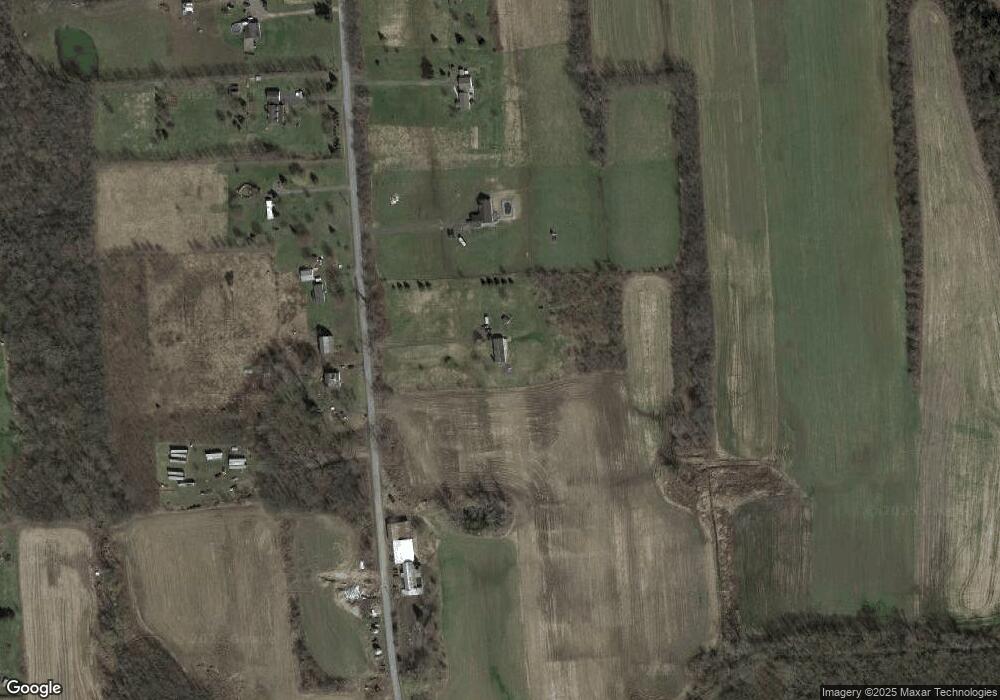
Map
Nearby Homes
- 8089 State Route 90
- 8048 Lasher Rd
- 5 First Hill St
- 5 Canal St
- 179 Main St
- 8299 State Street Rd
- 7528 Armbruster Rd
- 1261 Stickles Ln
- 7216 Beach Rd
- 1218 Hard Point Rd
- 1568 High St
- 13143 W Church St
- 1607 Grand Ave
- 8052 Centerport Rd
- 6863 Baldwin Rd
- 7355 Powers Rd
- 7023 River Rd
- 6939 State Route 90 N
- 6794 Fosterville Rd
- 2223 Turnpike Rd