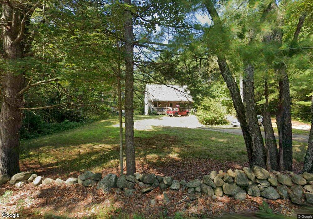
851 N Main St Orange, MA 01364
Estimated Value: $302,000 - $444,000
3
Beds
2
Baths
1,638
Sq Ft
$240/Sq Ft
Est. Value
About This Home
This home is located at 851 N Main St, Orange, MA 01364 and is currently estimated at $393,821, approximately $240 per square foot. 851 N Main St is a home located in Franklin County with nearby schools including Fisher Hill and Ralph C Mahar Regional School.
Ownership History
Date
Name
Owned For
Owner Type
Purchase Details
Closed on
Nov 1, 2000
Sold by
Usa Va
Bought by
Bombard Brenda J
Current Estimated Value
Home Financials for this Owner
Home Financials are based on the most recent Mortgage that was taken out on this home.
Original Mortgage
$104,900
Interest Rate
7.83%
Mortgage Type
Purchase Money Mortgage
Purchase Details
Closed on
Aug 24, 2000
Sold by
Bombard Steven R and Wells Fargo Mtg Inc
Bought by
Usa Va
Create a Home Valuation Report for This Property
The Home Valuation Report is an in-depth analysis detailing your home's value as well as a comparison with similar homes in the area
Home Values in the Area
Average Home Value in this Area
Purchase History
| Date | Buyer | Sale Price | Title Company |
|---|---|---|---|
| Bombard Brenda J | $106,000 | -- | |
| Usa Va | $89,893 | -- |
Source: Public Records
Mortgage History
| Date | Status | Borrower | Loan Amount |
|---|---|---|---|
| Open | Usa Va | $131,500 | |
| Closed | Usa Va | $115,900 | |
| Closed | Usa Va | $104,900 | |
| Previous Owner | Usa Va | $100,450 |
Source: Public Records
Tax History Compared to Growth
Tax History
| Year | Tax Paid | Tax Assessment Tax Assessment Total Assessment is a certain percentage of the fair market value that is determined by local assessors to be the total taxable value of land and additions on the property. | Land | Improvement |
|---|---|---|---|---|
| 2025 | $66 | $401,800 | $35,400 | $366,400 |
| 2024 | $5,255 | $301,300 | $35,400 | $265,900 |
| 2023 | $4,366 | $243,100 | $35,400 | $207,700 |
| 2022 | $4,489 | $234,800 | $35,400 | $199,400 |
| 2021 | $4,032 | $201,100 | $52,000 | $149,100 |
| 2020 | $4,052 | $199,300 | $51,600 | $147,700 |
| 2019 | $3,941 | $175,000 | $44,900 | $130,100 |
| 2018 | $3,741 | $170,500 | $41,900 | $128,600 |
| 2017 | $3,620 | $170,500 | $41,900 | $128,600 |
| 2016 | $3,505 | $161,500 | $41,900 | $119,600 |
| 2015 | $3,521 | $169,500 | $41,900 | $127,600 |
| 2014 | $3,401 | $172,300 | $41,900 | $130,400 |
Source: Public Records
Map
Nearby Homes
- 900 N Main St
- LOT Walnut Hill
- 52 Creamery Hill Rd
- 260 East Rd
- 0 Oxbow Unit 73446570
- 15 A-B Tully Rd
- 15 Tully Rd
- 140 Mechanic St
- 102 Mechanic St
- 31 Pinedale Rd
- 52 Mechanic St
- 153 Dana Rd
- 660 Pinedale Ave
- 36 Summit St Unit A
- 36 Summit St Unit B
- 150 E Main St
- 50 E Main St
- 12-14 E Main St
- 38 Twichell St
- 43 W Main St
- 859 N Main St
- 856 N Main St
- 860 N Main St
- 863 N Main St
- 844 N Main St
- 862 N Main St
- 855 N Main St
- 864 N Main St
- 1 Nice Place
- 20 Look n Good Farm Dr N
- 21 Look n Good Farm Dr S
- 783 N Main St
- 875 N Main St
- 897 N Main St
- 273 Wheeler Ave
- 279 Wheeler Ave
- 295 Wheeler Ave
- 925 N Main St
- 287 Wheeler Ave
- 272 Wheeler Ave