851 Pleasant Hill Rd NW Conyers, GA 30012
Estimated Value: $448,014 - $507,000
5
Beds
3
Baths
3,267
Sq Ft
$148/Sq Ft
Est. Value
About This Home
This home is located at 851 Pleasant Hill Rd NW, Conyers, GA 30012 and is currently estimated at $485,004, approximately $148 per square foot. 851 Pleasant Hill Rd NW is a home located in Rockdale County with nearby schools including House Elementary School, Conyers Middle School, and Rockdale County High School.
Ownership History
Date
Name
Owned For
Owner Type
Purchase Details
Closed on
Jul 13, 1999
Sold by
Scott Cleslie H and Scott Deborah J
Bought by
Scott Darrell K
Current Estimated Value
Purchase Details
Closed on
Feb 17, 1994
Sold by
Jones Jon S and Jones Marla A
Bought by
Scott Cleslie Howell and Scott Deborah J
Home Financials for this Owner
Home Financials are based on the most recent Mortgage that was taken out on this home.
Original Mortgage
$114,400
Interest Rate
7.02%
Create a Home Valuation Report for This Property
The Home Valuation Report is an in-depth analysis detailing your home's value as well as a comparison with similar homes in the area
Home Values in the Area
Average Home Value in this Area
Purchase History
| Date | Buyer | Sale Price | Title Company |
|---|---|---|---|
| Scott Darrell K | -- | -- | |
| Scott Cleslie Howell | $120,500 | -- |
Source: Public Records
Mortgage History
| Date | Status | Borrower | Loan Amount |
|---|---|---|---|
| Previous Owner | Scott Cleslie Howell | $114,400 |
Source: Public Records
Tax History Compared to Growth
Tax History
| Year | Tax Paid | Tax Assessment Tax Assessment Total Assessment is a certain percentage of the fair market value that is determined by local assessors to be the total taxable value of land and additions on the property. | Land | Improvement |
|---|---|---|---|---|
| 2024 | $2,885 | $149,888 | $29,040 | $120,848 |
| 2023 | $1,704 | $110,008 | $27,640 | $82,368 |
| 2022 | $1,918 | $101,260 | $27,640 | $73,620 |
| 2021 | $1,930 | $97,020 | $23,400 | $73,620 |
| 2020 | $1,818 | $91,700 | $18,080 | $73,620 |
| 2019 | $1,508 | $79,780 | $18,080 | $61,700 |
| 2018 | $1,350 | $74,380 | $12,760 | $61,620 |
| 2017 | $734 | $54,520 | $12,760 | $41,760 |
| 2016 | $638 | $54,520 | $12,760 | $41,760 |
| 2015 | $1,147 | $54,520 | $12,760 | $41,760 |
| 2014 | $962 | $52,048 | $12,760 | $39,288 |
| 2013 | -- | $65,040 | $15,920 | $49,120 |
Source: Public Records
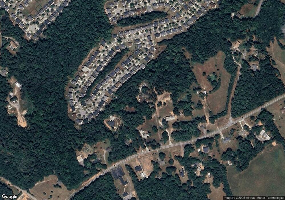
Map
Nearby Homes
- 4381 Ash Tree St
- 4041 Ash Tree St
- 3890 Irwin Bridge Rd NW
- 4850 Wynship Ln
- 3880 Irwin Bridge Rd NW
- 0 Bryant Rd Unit 7646847
- 4656 Bryant Rd
- 4348 Bradley Dr
- 4366 Bradley Dr SW
- 4244 Bradley Dr SW
- 0 Bradley Dr SW
- 4840 Heather Mill Trace
- 3770 Belle Glade Trail
- 4738 Chafin Point Ct
- 4380 Cary Dr
- 4440 Cary Dr
- 4440 Cary Dr SW
- 3892 Rosebud Park Dr
- 8929 Pleasant Hill Rd
- 4591 Ash Tree St
- 4601 Ash Tree St
- 4581 Ash Tree St
- 4611 Ash Tree St
- 4621 Ash Tree St
- 4571 Ash Tree St
- 4631 Ash Tree St
- 4561 Ash Tree St
- 4588 Ash Tree St SW
- 4608 Ash Tree St
- 4618 Ash Tree St SW
- 4598 Ash Tree St
- 4618 Ash Tree St
- 831 Pleasant Hill Rd NW
- 4641 Ash Tree St
- 4588 Ash Tree St
- 4578 Ash Tree St SW
- 4628 Ash Tree St
- 4638 Ash Tree St