851 Roaring Plains Dr Dryfork, WV 26263
Estimated Value: $233,000 - $359,000
2
Beds
1
Bath
1,238
Sq Ft
$231/Sq Ft
Est. Value
About This Home
This home is located at 851 Roaring Plains Dr, Dryfork, WV 26263 and is currently estimated at $286,136, approximately $231 per square foot. 851 Roaring Plains Dr is a home.
Ownership History
Date
Name
Owned For
Owner Type
Purchase Details
Closed on
Oct 5, 2020
Sold by
Ray John W
Bought by
Chelmu James C and Chelmu Allison M
Current Estimated Value
Home Financials for this Owner
Home Financials are based on the most recent Mortgage that was taken out on this home.
Original Mortgage
$170,000
Outstanding Balance
$150,237
Interest Rate
2.8%
Mortgage Type
New Conventional
Estimated Equity
$135,899
Purchase Details
Closed on
Dec 5, 2018
Sold by
Bank Of New York Mellon Trust Co Na As
Bought by
Ray John W
Home Financials for this Owner
Home Financials are based on the most recent Mortgage that was taken out on this home.
Original Mortgage
$106,675
Interest Rate
4.8%
Mortgage Type
New Conventional
Purchase Details
Closed on
Nov 6, 2016
Sold by
Pill And Pill Pllc
Bought by
The Bank Of New York Mellon Trust Compan and Bank Of New York Trust Company Na
Create a Home Valuation Report for This Property
The Home Valuation Report is an in-depth analysis detailing your home's value as well as a comparison with similar homes in the area
Home Values in the Area
Average Home Value in this Area
Purchase History
| Date | Buyer | Sale Price | Title Company |
|---|---|---|---|
| Chelmu James C | $259,000 | Wv Title | |
| Ray John W | $125,500 | None Available | |
| The Bank Of New York Mellon Trust Compan | $170,000 | None Available |
Source: Public Records
Mortgage History
| Date | Status | Borrower | Loan Amount |
|---|---|---|---|
| Open | Chelmu James C | $170,000 | |
| Previous Owner | Ray John W | $106,675 |
Source: Public Records
Tax History Compared to Growth
Tax History
| Year | Tax Paid | Tax Assessment Tax Assessment Total Assessment is a certain percentage of the fair market value that is determined by local assessors to be the total taxable value of land and additions on the property. | Land | Improvement |
|---|---|---|---|---|
| 2025 | $800 | $117,840 | $34,920 | $82,920 |
| 2024 | $800 | $106,020 | $31,560 | $74,460 |
| 2023 | $715 | $104,580 | $31,980 | $72,600 |
| 2022 | $658 | $97,620 | $27,660 | $69,960 |
| 2021 | $513 | $96,120 | $26,520 | $69,600 |
| 2020 | $505 | $94,920 | $26,460 | $68,460 |
| 2019 | $1,338 | $99,180 | $28,620 | $70,560 |
| 2018 | $649 | $96,240 | $31,140 | $65,100 |
| 2017 | $638 | $94,560 | $30,540 | $64,020 |
| 2016 | $630 | $93,480 | $30,360 | $63,120 |
| 2015 | $797 | $96,120 | $35,280 | $60,840 |
| 2014 | $797 | $92,340 | $32,640 | $59,700 |
Source: Public Records
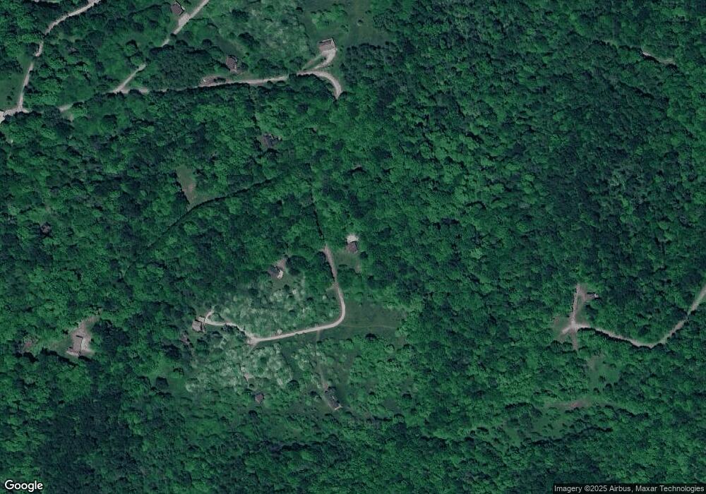
Map
Nearby Homes
- 91 Panoramic Dr
- Lot 3 Stonecamp Panoramic Dr
- Lot 2 Alpenglow Ridge Dr
- Lot 4 Alpenglow Ridge Dr
- Lot 3 Alpenglow Ridge Dr
- Lot 10 Alpenglow Ridge Dr
- Lot 12 Alpenglow Ridge Dr
- Lot 11 Alpenglow Ridge Dr
- 100 Miller Farm Ln
- 38 Black Bear Ln
- 38 and 60 Black Bear Ln
- 225 S Fork Rd
- Lot 3 Pointy Knob Rd
- Lot 2 Pointy Knob Rd
- 1368 Pennington Rd
- 20 E Meadows Rd
- Lot 7 High Mountain Rd
- 22 E Meadows Rd
- 28 Meadows Rd W
- 0 Lot 3 High Mt Development
- 11 Crestridge Dr
- 1080 Roaring Plains Dr
- 739 Roaring Plains
- 645 Roaring Plains Dr
- 25 Woodclyffe Rd
- 202 9th St
- 23 Hickory Flats
- 486 Roaring Plains Dr
- 27 Hawthorne Point
- 898 Roaring Plains Dr
- 845 Flat Rock Run
- 74 Chipmunk Ln
- 45 Canyon View
- 412 Hickory Flat
- 691 Flat Rock Run
- 633 Flat Rock Run
- 33 Hawthorne Point
- Flat Rock Run Rd
- 94 Hickory Ridge Ln
- 542 Cherry Ridge Rd