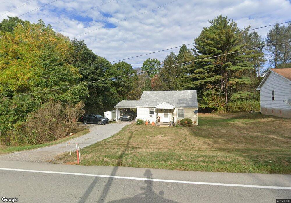
851 State Route 28 and 66 Kittanning, PA 16201
Rayburn Township NeighborhoodEstimated Value: $108,000 - $160,000
2
Beds
1
Bath
1,404
Sq Ft
$91/Sq Ft
Est. Value
About This Home
This home is located at 851 State Route 28 and 66, Kittanning, PA 16201 and is currently estimated at $127,342, approximately $90 per square foot. 851 State Route 28 and 66 is a home with nearby schools including West Hills Intermediate School and West Hills Primary School.
Ownership History
Date
Name
Owned For
Owner Type
Purchase Details
Closed on
May 8, 2009
Sold by
Schall Sarah and Crytzer Sarah
Bought by
Colwell Jeffrey G
Current Estimated Value
Home Financials for this Owner
Home Financials are based on the most recent Mortgage that was taken out on this home.
Original Mortgage
$57,142
Outstanding Balance
$36,201
Interest Rate
4.9%
Mortgage Type
FHA
Estimated Equity
$91,141
Create a Home Valuation Report for This Property
The Home Valuation Report is an in-depth analysis detailing your home's value as well as a comparison with similar homes in the area
Home Values in the Area
Average Home Value in this Area
Purchase History
| Date | Buyer | Sale Price | Title Company |
|---|---|---|---|
| Colwell Jeffrey G | $53,000 | None Available |
Source: Public Records
Mortgage History
| Date | Status | Borrower | Loan Amount |
|---|---|---|---|
| Open | Colwell Jeffrey G | $57,142 |
Source: Public Records
Tax History Compared to Growth
Tax History
| Year | Tax Paid | Tax Assessment Tax Assessment Total Assessment is a certain percentage of the fair market value that is determined by local assessors to be the total taxable value of land and additions on the property. | Land | Improvement |
|---|---|---|---|---|
| 2025 | $2,104 | $24,070 | $15,550 | $8,520 |
| 2024 | $1,983 | $24,070 | $15,550 | $8,520 |
| 2023 | $1,831 | $24,070 | $15,550 | $8,520 |
| 2022 | $1,831 | $24,070 | $15,550 | $8,520 |
| 2021 | $1,831 | $24,070 | $15,550 | $8,520 |
| 2020 | $1,831 | $24,070 | $15,550 | $8,520 |
| 2019 | $1,831 | $24,070 | $15,550 | $8,520 |
| 2018 | $1,807 | $22,220 | $10,050 | $12,170 |
| 2017 | $1,793 | $24,070 | $15,550 | $8,520 |
| 2016 | $1,793 | $24,070 | $15,550 | $8,520 |
| 2015 | $1,599 | $24,070 | $15,550 | $8,520 |
| 2014 | $1,599 | $24,070 | $15,550 | $8,520 |
Source: Public Records
Map
Nearby Homes
- 174 Mcmillen Rd
- 142.19 Acs Along Elkin & Beck Roads
- 119 6th St
- 1182 State Route 1035
- 421 Red Mill Rd
- 1594 Johnston Ave
- 1017 Johnston Ave
- 139 Oak Ave
- 1408 Orr Ave
- 435 1/2 Reesman Dr Unit 2
- 136 Queen St
- 614 Woodward Ave
- 414 North Ave
- 143 N Grant Ave
- 114 S Mckean St
- 176 Wray Plan Rd
- 203-205 Maple St
- 509 N Jefferson St
- 223 Cedar Dr
- 612 State Route 1031
- 851 Pennsylvania 28
- 855 State Route 28 and 66
- 852 State Route 28 and 66
- 856 State Route 28 and 66
- 858 State Route 28 and 66
- 843 State Route 28 and 66
- 106 Friendship Ln
- 110 Friendship Ln
- 109 Sloan Hill Rd
- 113 Friendship Ln
- 862 State Route 28 66
- 862 State Route 28 and 66
- 846 State Route 28 and 66
- 120 Friendship Ln
- 113 Sloan Hill Rd
- 868 State Route 28 & 66
- 117 Sloan Hill Rd
- 868 Pennsylvania 28
- 873 State Route 28 and 66
- 814 State Route 28 and 66