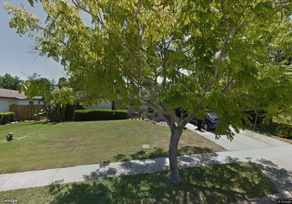
851 Westport Dr Rockledge, FL 32955
Estimated Value: $287,645 - $358,000
4
Beds
2
Baths
1,405
Sq Ft
$235/Sq Ft
Est. Value
About This Home
This home is located at 851 Westport Dr, Rockledge, FL 32955 and is currently estimated at $329,911, approximately $234 per square foot. 851 Westport Dr is a home located in Brevard County with nearby schools including Golfview Elementary School, John F. Kennedy Middle School, and Rockledge Senior High School.
Ownership History
Date
Name
Owned For
Owner Type
Purchase Details
Closed on
Mar 4, 2005
Sold by
Anders David L and Anders Elizabeth A
Bought by
Gallagher Dorothy B
Current Estimated Value
Purchase Details
Closed on
Apr 2, 2002
Sold by
Forst Conrad H and Slater Margaret E
Bought by
Anders David L and Anders Elizabeth A
Home Financials for this Owner
Home Financials are based on the most recent Mortgage that was taken out on this home.
Original Mortgage
$94,155
Interest Rate
6.8%
Create a Home Valuation Report for This Property
The Home Valuation Report is an in-depth analysis detailing your home's value as well as a comparison with similar homes in the area
Home Values in the Area
Average Home Value in this Area
Purchase History
| Date | Buyer | Sale Price | Title Company |
|---|---|---|---|
| Gallagher Dorothy B | $184,900 | International Title & Escrow | |
| Anders David L | $94,900 | -- |
Source: Public Records
Mortgage History
| Date | Status | Borrower | Loan Amount |
|---|---|---|---|
| Previous Owner | Anders David L | $94,155 |
Source: Public Records
Tax History Compared to Growth
Tax History
| Year | Tax Paid | Tax Assessment Tax Assessment Total Assessment is a certain percentage of the fair market value that is determined by local assessors to be the total taxable value of land and additions on the property. | Land | Improvement |
|---|---|---|---|---|
| 2025 | $889 | $99,560 | -- | -- |
| 2024 | $860 | $96,760 | -- | -- |
| 2023 | $860 | $93,950 | $0 | $0 |
| 2022 | $851 | $91,220 | $0 | $0 |
| 2021 | $849 | $88,570 | $0 | $0 |
| 2020 | $843 | $87,350 | $0 | $0 |
| 2019 | $827 | $85,390 | $0 | $0 |
| 2018 | $820 | $83,800 | $0 | $0 |
| 2017 | $814 | $82,080 | $0 | $0 |
| 2016 | $812 | $80,400 | $27,500 | $52,900 |
| 2015 | $770 | $79,850 | $27,500 | $52,350 |
| 2014 | $764 | $79,220 | $23,000 | $56,220 |
Source: Public Records
Map
Nearby Homes
- 821 Hanover Ct
- 848 Brookview Ln
- 807 Poinciana St
- 834 Pine Shadows Ave
- 900 Jamestown Dr
- 811 Poinciana St
- 802 Poinciana St
- 0 Unknown Unit 1047712
- 871 Southern Pine Trail
- 919 Brookview Ln
- 813 Pine Shadows Ave
- 969 Bellaire Ln
- 895 Brunswick Ln
- 972 Brewster Ln
- 878 Croton Rd
- 878 Levitt Pkwy
- 967 Sabal Grove Dr
- 899 Wandering Pine Trail
- 967 Pelican Ln
- 948 Pelican Ln
- 849 Westport Dr
- 853 Westport Dr
- 855 Westport Dr
- 847 Westport Dr
- 850 Westport Dr
- 848 Westport Dr
- 856 Westport Dr
- 814 Topaz Dr
- 812 Topaz Dr
- 846 Westport Dr
- 805 Kara Cir
- 857 Westport Dr
- 854 Berkshire Dr
- 847 Berkshire Dr
- 845 Berkshire Dr
- 894 Hamilton Ave
- 844 Westport Dr
- 810 Topaz Dr
- 802 Kara Cir
- 816 Topaz Dr