8510 W Highway 52 Emmett, ID 83617
Gem County NeighborhoodEstimated Value: $439,000 - $678,000
1
Bed
1
Bath
782
Sq Ft
$700/Sq Ft
Est. Value
About This Home
This home is located at 8510 W Highway 52, Emmett, ID 83617 and is currently estimated at $547,335, approximately $699 per square foot. 8510 W Highway 52 is a home located in Gem County with nearby schools including Shadow Butte Elementary School.
Ownership History
Date
Name
Owned For
Owner Type
Purchase Details
Closed on
Aug 6, 2010
Sold by
Banks John F
Bought by
Foxall Joe and Foxall Leigh
Current Estimated Value
Home Financials for this Owner
Home Financials are based on the most recent Mortgage that was taken out on this home.
Original Mortgage
$100,000
Outstanding Balance
$66,476
Interest Rate
4.65%
Mortgage Type
Purchase Money Mortgage
Estimated Equity
$480,859
Create a Home Valuation Report for This Property
The Home Valuation Report is an in-depth analysis detailing your home's value as well as a comparison with similar homes in the area
Home Values in the Area
Average Home Value in this Area
Purchase History
| Date | Buyer | Sale Price | Title Company |
|---|---|---|---|
| Foxall Joe | -- | -- |
Source: Public Records
Mortgage History
| Date | Status | Borrower | Loan Amount |
|---|---|---|---|
| Open | Foxall Joe | $100,000 |
Source: Public Records
Tax History Compared to Growth
Tax History
| Year | Tax Paid | Tax Assessment Tax Assessment Total Assessment is a certain percentage of the fair market value that is determined by local assessors to be the total taxable value of land and additions on the property. | Land | Improvement |
|---|---|---|---|---|
| 2024 | $1,301 | $390,432 | $223,451 | $166,981 |
| 2023 | $1,203 | $384,728 | $194,633 | $190,095 |
| 2021 | $1,606 | $335,241 | $171,042 | $164,199 |
| 2020 | $1,642 | $257,324 | $133,193 | $124,131 |
| 2019 | $1,622 | $239,702 | $115,571 | $124,131 |
| 2018 | $1,595 | $205,838 | $99,251 | $106,587 |
| 2017 | $1,830 | $193,480 | $99,480 | $94,000 |
| 2016 | $1,872 | $185,120 | $96,480 | $88,640 |
| 2015 | $1,875 | $182,110 | $88,760 | $93,350 |
| 2014 | $1,875 | $171,290 | $80,260 | $91,030 |
Source: Public Records
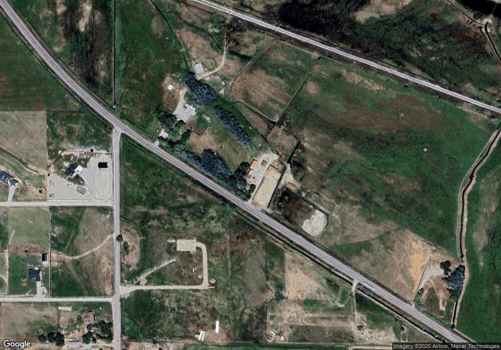
Map
Nearby Homes
- 9177 Brill Rd
- 9221 Brill Rd
- 2195 Bishop Rd
- 1XXX Bishop Rd
- 2333 Berglund Rd
- 2712 Little Rock Rd
- 10160 Clearview Ln
- 7202 W Highway 52
- 2240 Little Rock Rd
- 9350 Dewey Rd
- TBD Dewey Rd
- 2625 Berglund Rd
- 8600 Hillview Rd
- 8627 Dewey Rd
- 2635 Berglund Rd
- 2670 Berglund Rd
- 9400 Bill Burns Rd
- 8100 Hillview Rd
- 2798 Hanna Ave
- 9731 Bill Burns Rd
- 8510 W Highway 52
- TBD Hwy 52 (#12 Survey)
- TBD Hwy 52 (#11 Survey)
- 8596 W Highway 52
- 8596 W Highway 52
- 8596 W Highway 52
- TBD Bishop (#10 Survey)
- TBD Bishop Road (#10 Survey)
- TBD Bishop (See Plat)
- TBD Bishop (#08 Survey)
- 2011 N Bishop Rd
- 9142 Falcon Ln
- TBD Bishop (#09 Survey)
- TBD Bishop Road (#09 Survey)
- 8461 W Highway 52
- 2222 Bishop Rd
- 2221 Bishop Rd
- 9140 Mallard Ln
- 8444 W Highway 52
- 2300 Bishop Rd